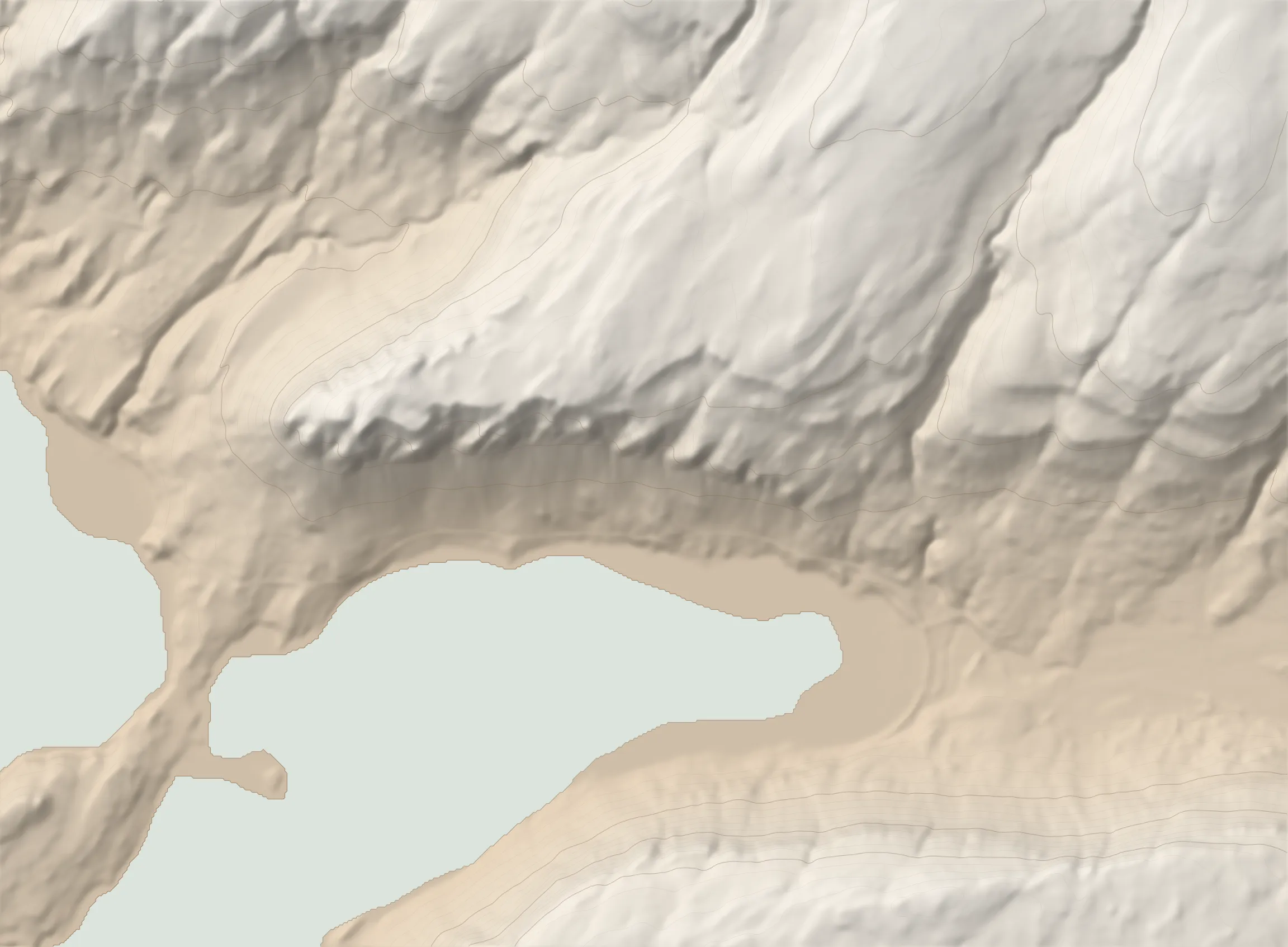
The route
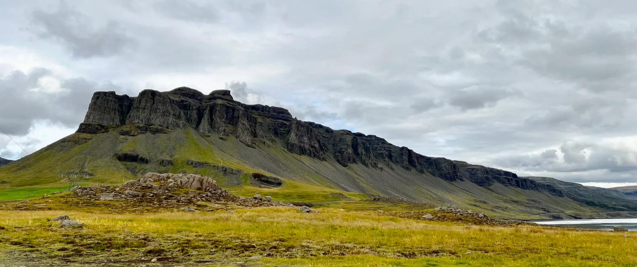
þyrill (Thyrill) is a low-lying but visually stunning range on the northern side of the Hvalfjörður inlet. It is strategically positioned at the very end of Hvalfjörður, bordered by the bay on the south side and a deep valley (Litlasandsdalur) on the NW. Viewed from the bottom, the crown of vertical walls encircling the summit on three sides is both forbidding and awe inspiring.
To climb þyrill you take an old pilgrim path on the eastern end, then continue westward following the edge of the gently rising plateau. On the way you will be taking in sweeping views across the fjord, as well as of the nearby Botnsdalur valley and of the neighboring mountains.
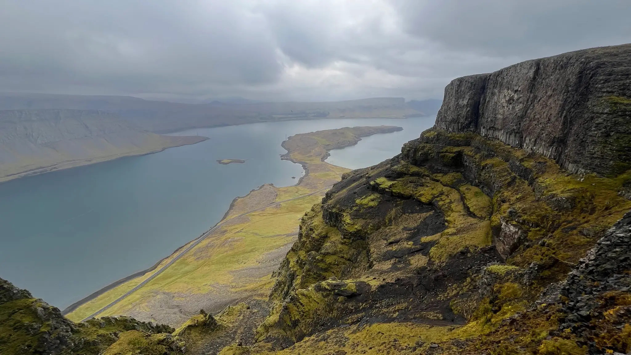
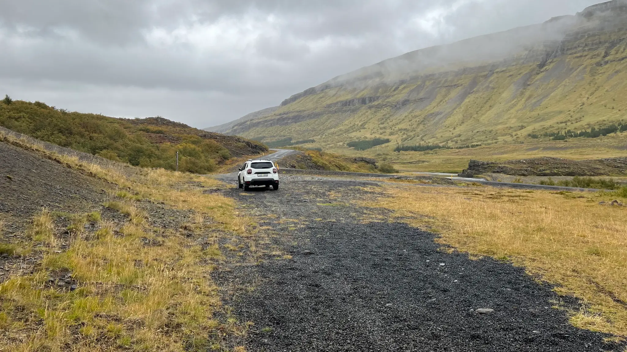
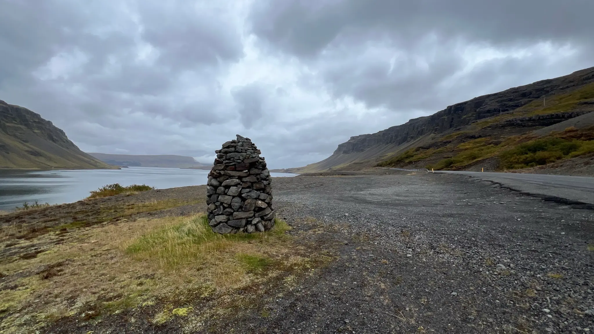
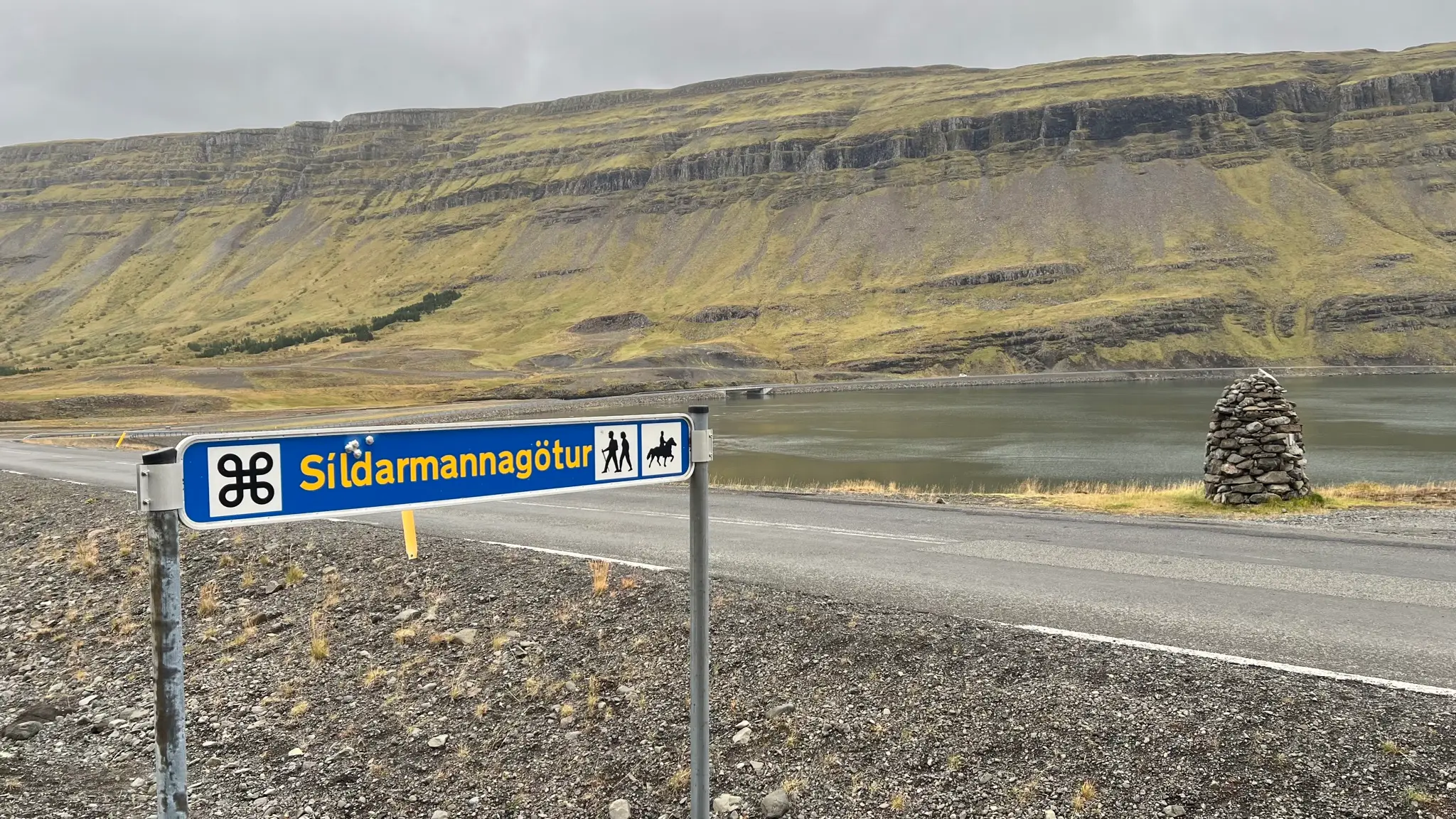
You can start the hike at two different points. The first is a gravel parking area on the side of Rt 47, marked by a sizable cairn. Across the road a sign reads „Síldarmannagötur”. Síldarmannagötur is a marked hiking route that connects Hvalfjörður to the Skorradalur valley to the north. You will use the marked path on the first part of this walk.
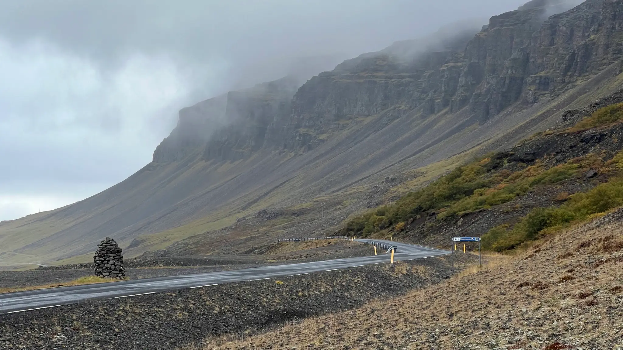
For a slightly longer hike, park near the intersection of Rt 47 and Botnsdalsvegur (the secondary road leading to Glymur). There, a wooden panel (Icelandic only) contains information about the old pilgrimage route stretching from þingvellir to the south all the way to Skálholt to the north.
From the parking area near the sign backtrack westward - either along the road or by following a faint path north of the road. If you choose the latter you will have to cross the Bruná stream which, depending on the water level, might require wading.
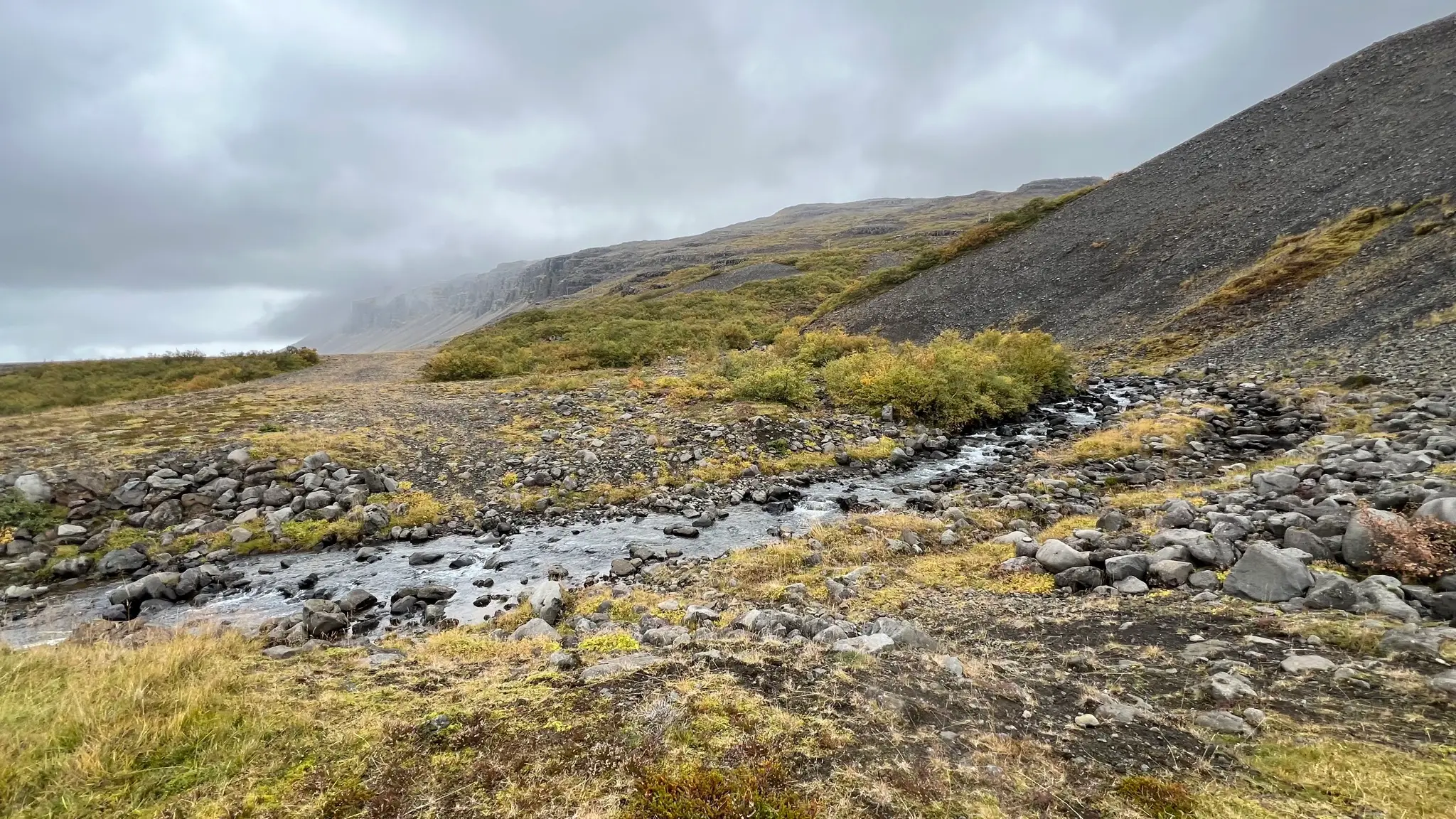
After 300m you will reach Síldarmannagötur which heads NW starting near the street sign.
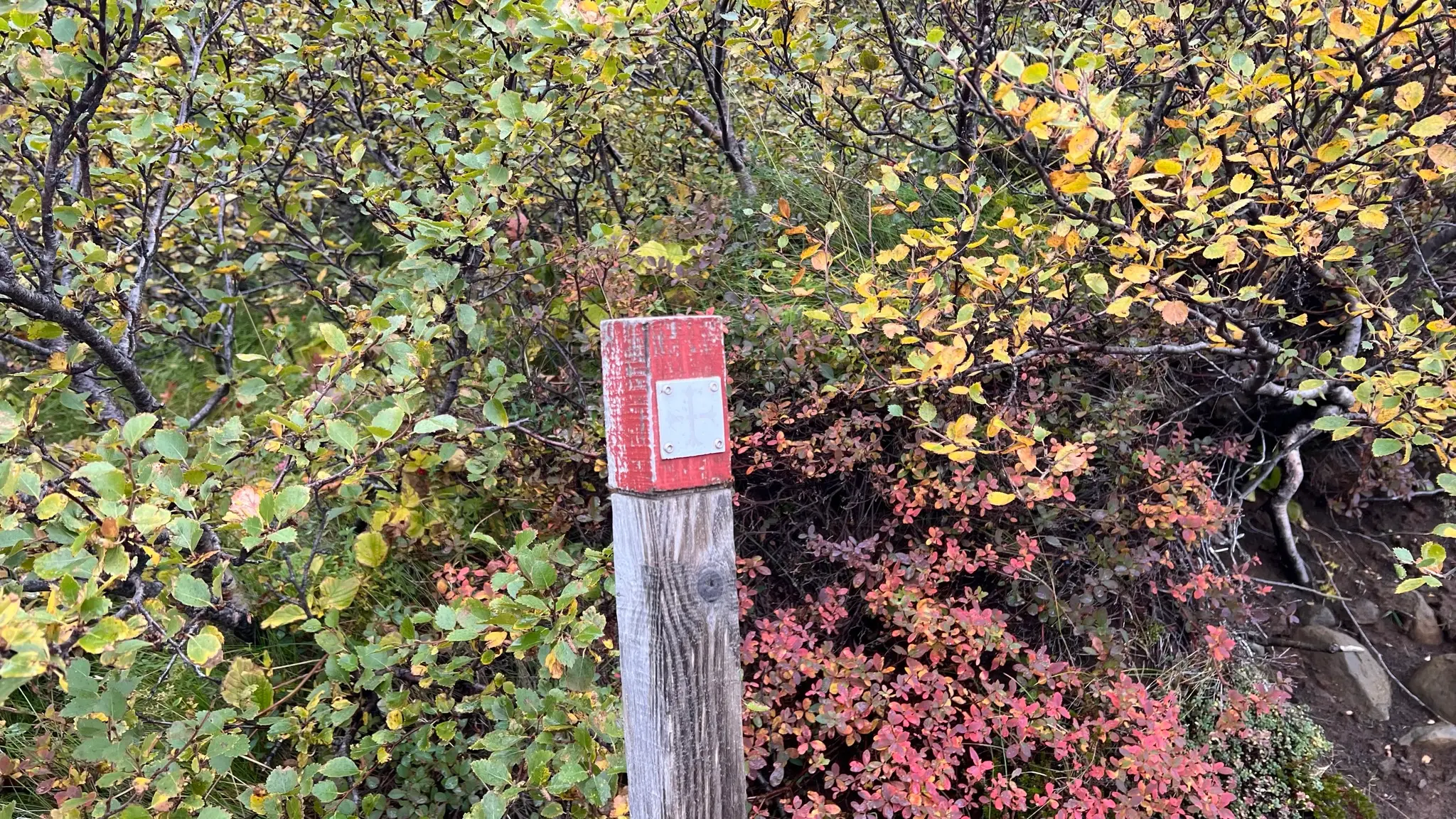
The trail is well trodden and marked with wooden sticks bearing the faded cross symbol identifying it as part of the pilgrimage route.
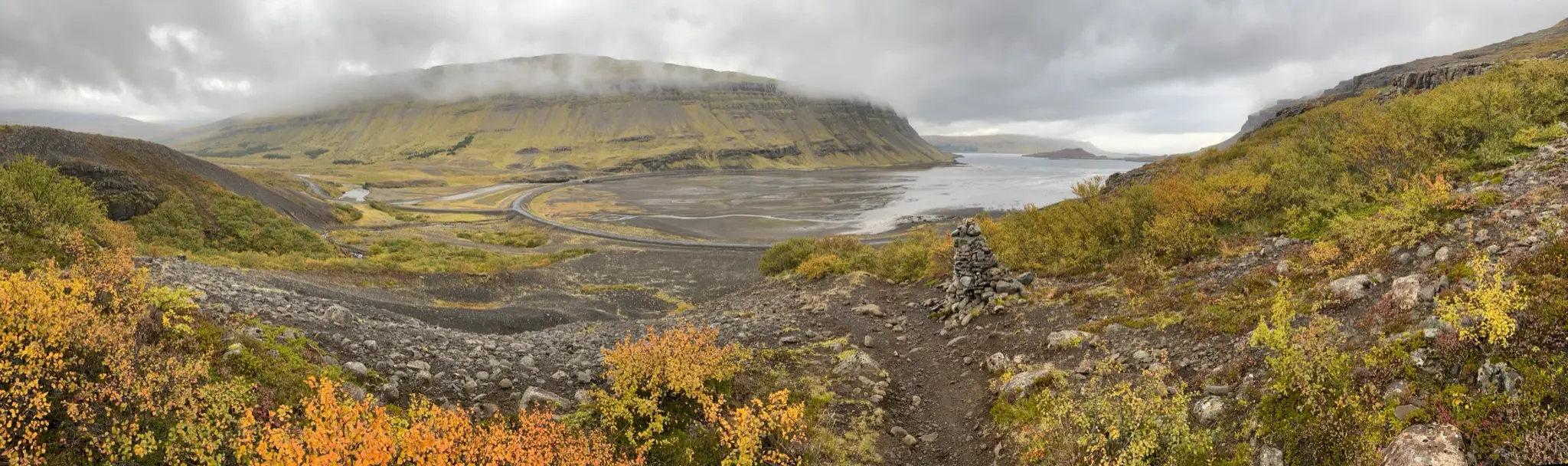
You don’t have to climb far for great vistas. While most of the lower reaches are a tangle of low shrubs, rocky clearings open up views towards the Hvalfjörður and the Botnsdalur valley.
At around .5km, after a westward switchback, the trail starts climbing steadily northward.
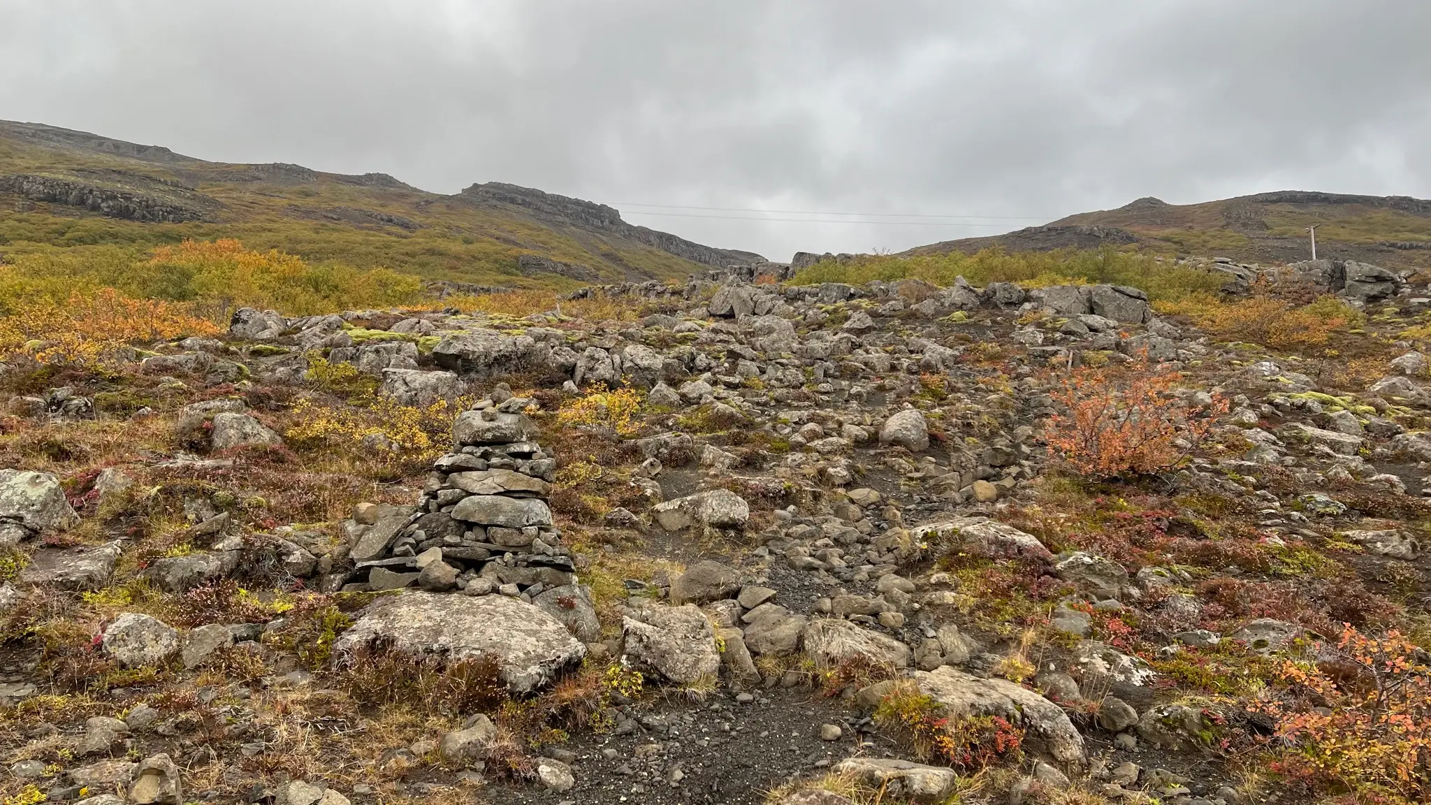
Portions of the path are heavily overgrown with dwarf birch trees masking the often eroded ground.
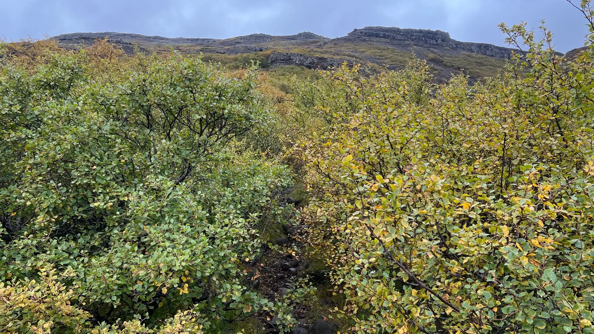
At .75km the trail turns westward once more while the shrubbery thins out. Looking eastward now you can see the entire length of the Botnsdalur valley, buffeted in the background by the flat-topped silhouette of Hvalfell (844m) and the elongated ridge leading to Vestursúla (1086m).
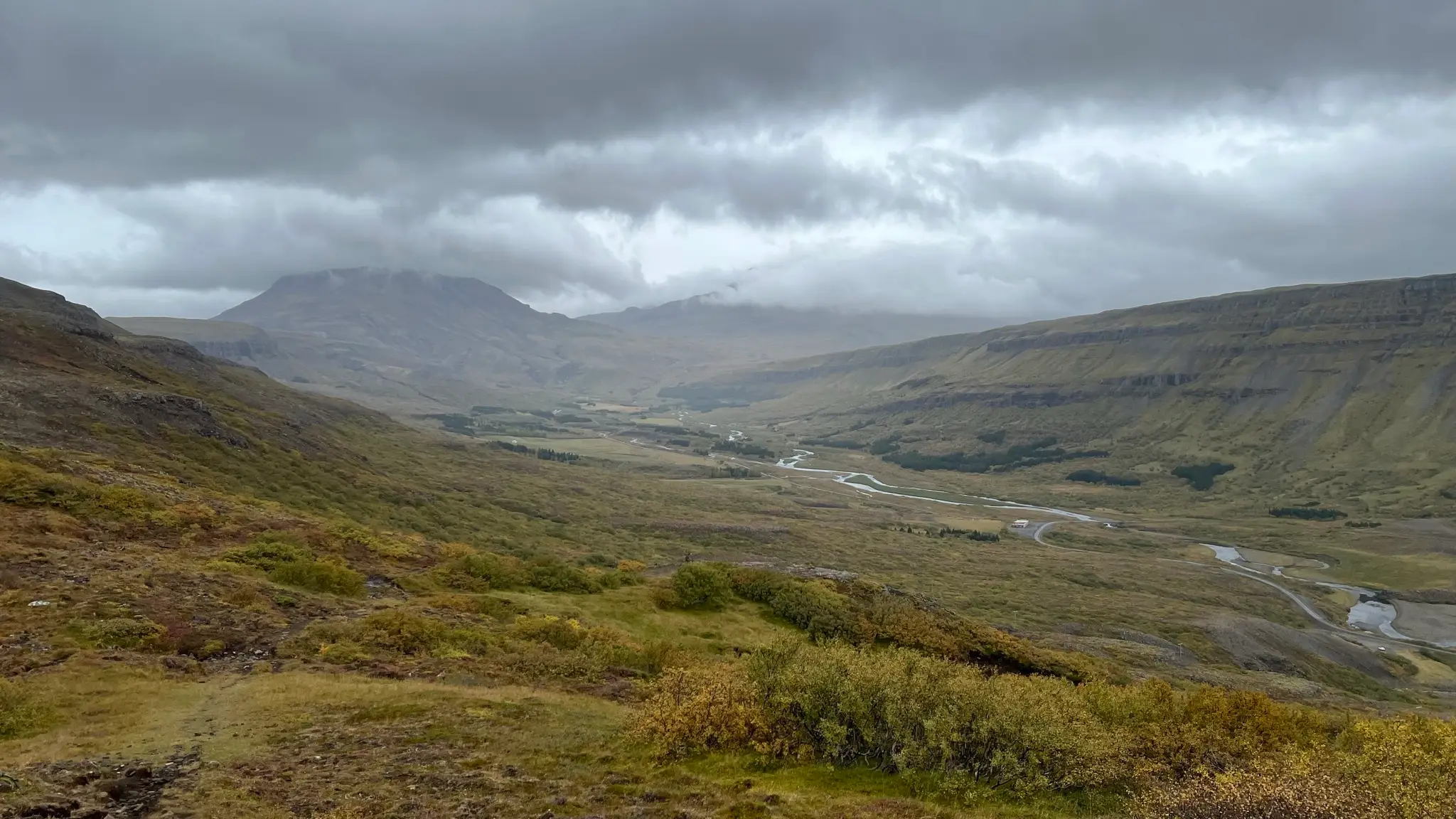
At 1.15km a rocky ledge is another opportunity for taking in the views. The trail then continues NW across the grade. As you gain altitude the vegetation changes to short grasses and moss. At about 2km (300m asl) you will start to see the cliffs atop þyrill’s rocky crown.
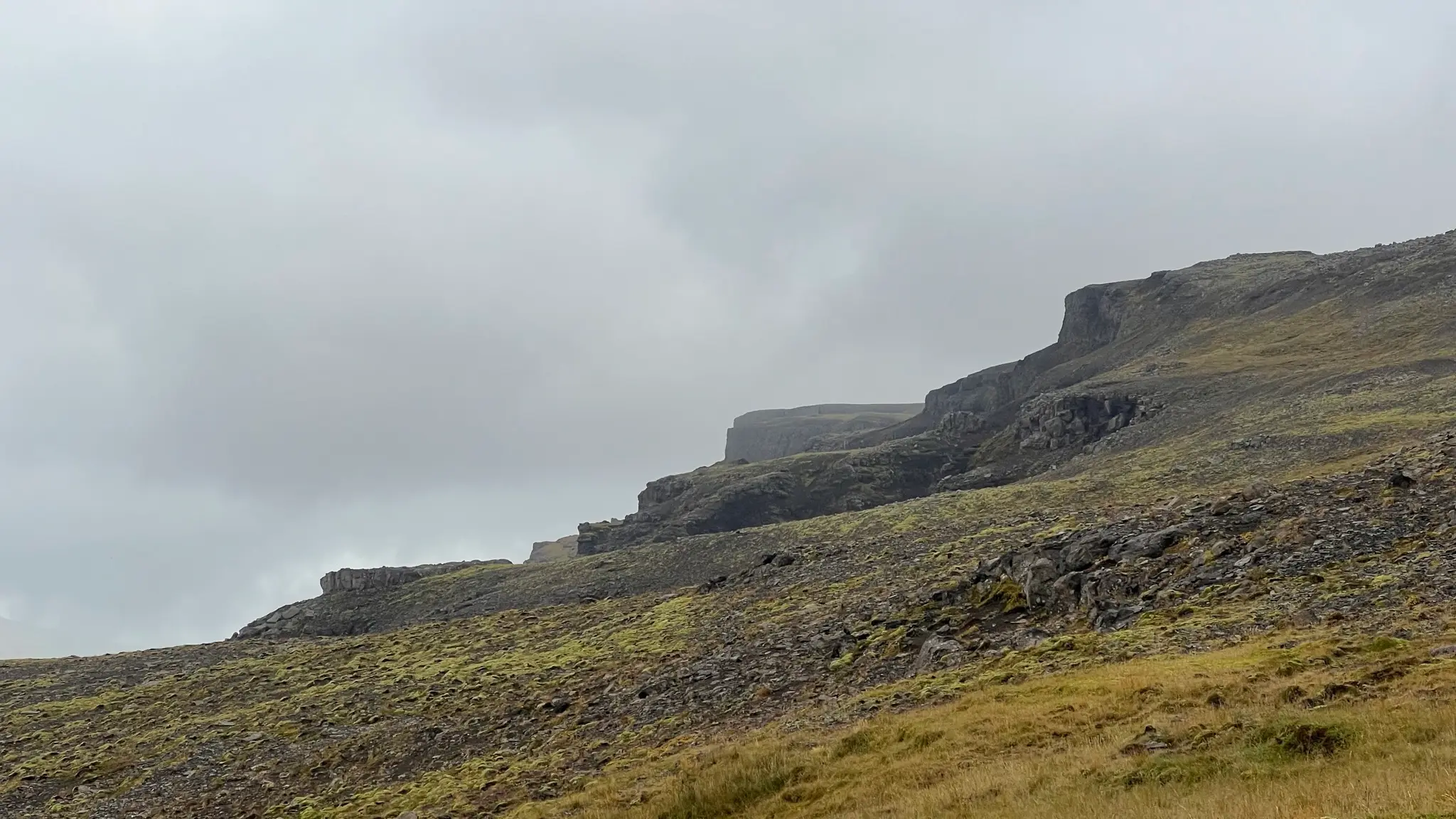
Around the 2.3km mark head north to climb atop the summit plateau via a cleft in the rock face. Before emerging on the plateau prepare for a change in conditions, particularly an increase in the wind chill.
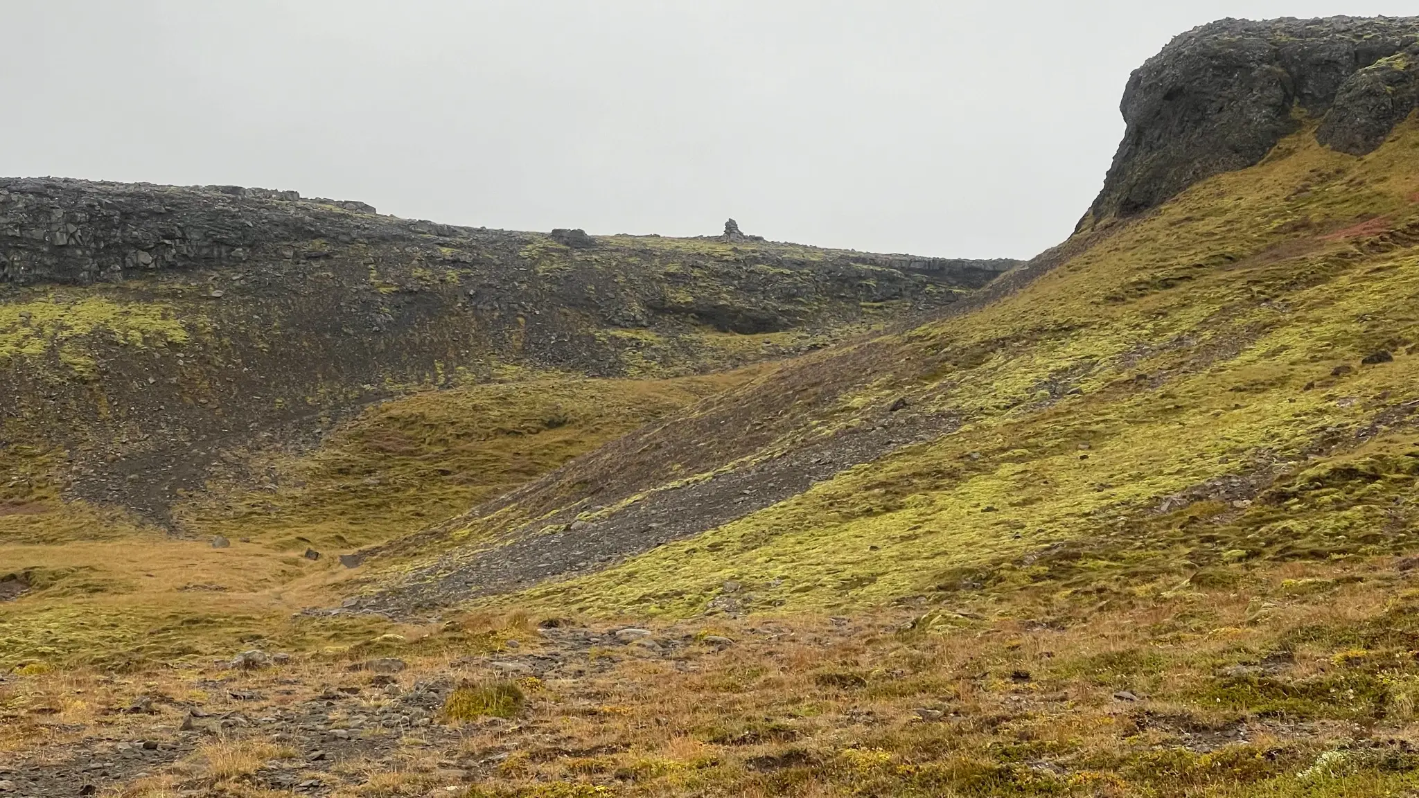
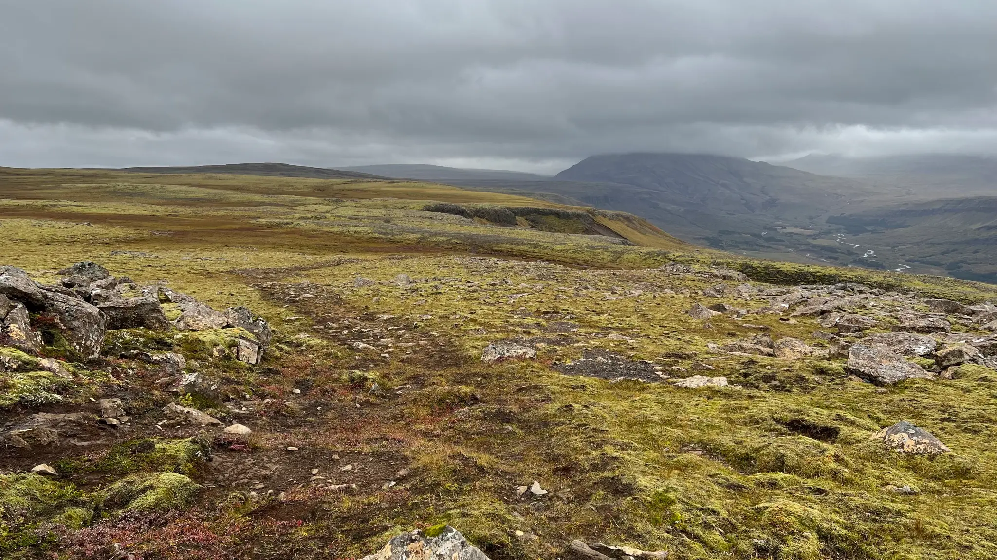
Once on the plateau it is time to leave the Síldarmannagötur trail and head SWW on a faint trail that roughly follows the edge of the mesa. Exercise caution as the path often leads dangerously close to the edge.
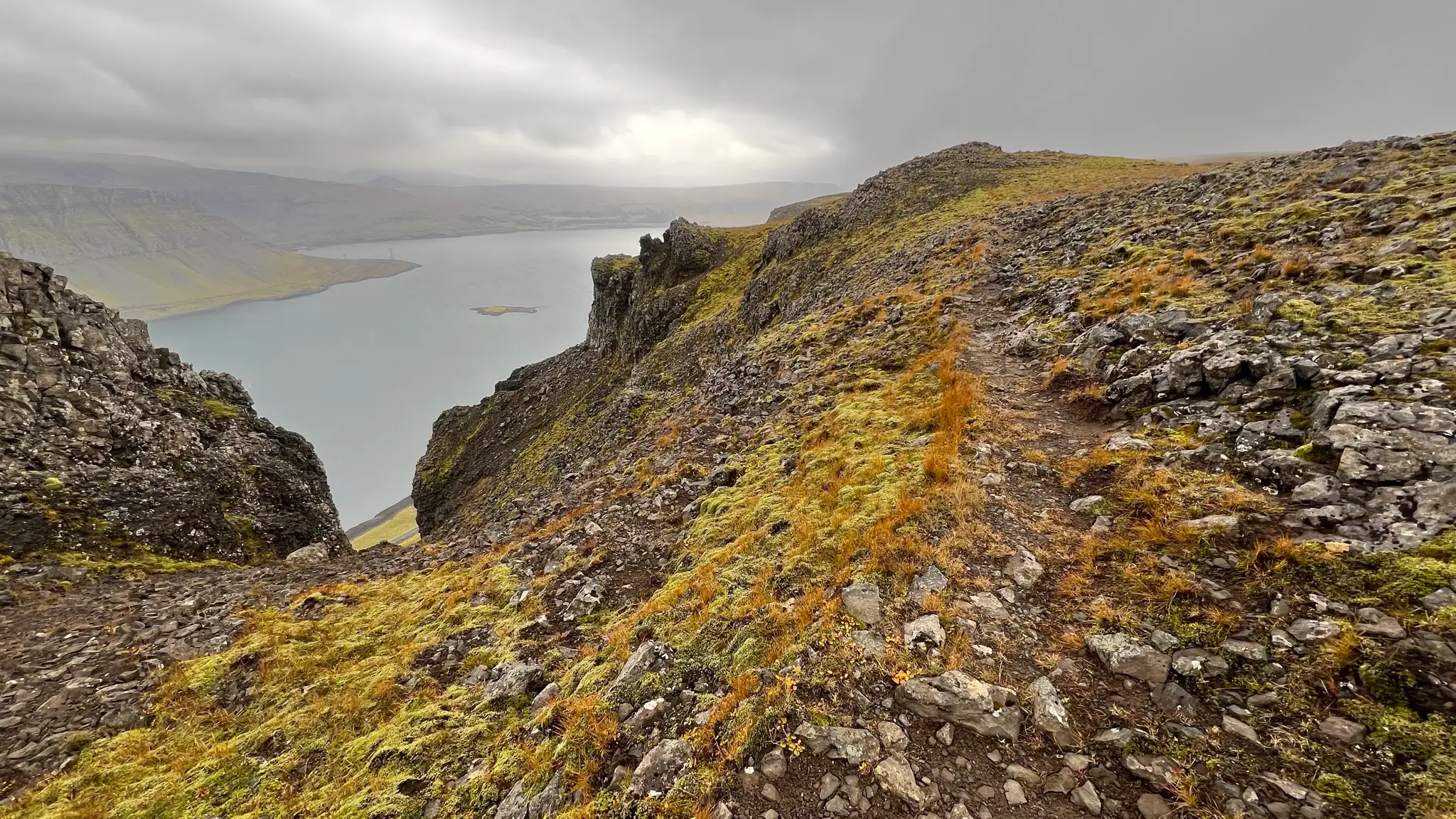
While the grade still climbs the incline is almost imperceptible, with small ups and downs thrown in for variation. Some of the low-lying areas are marshy.
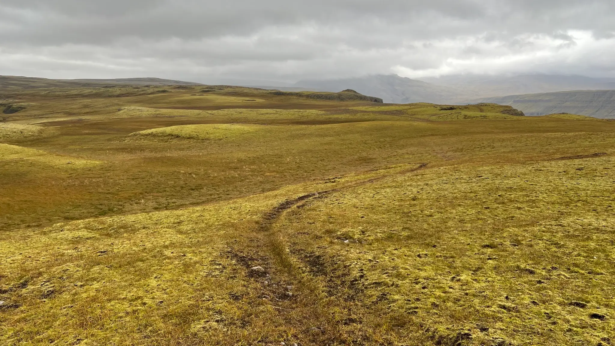
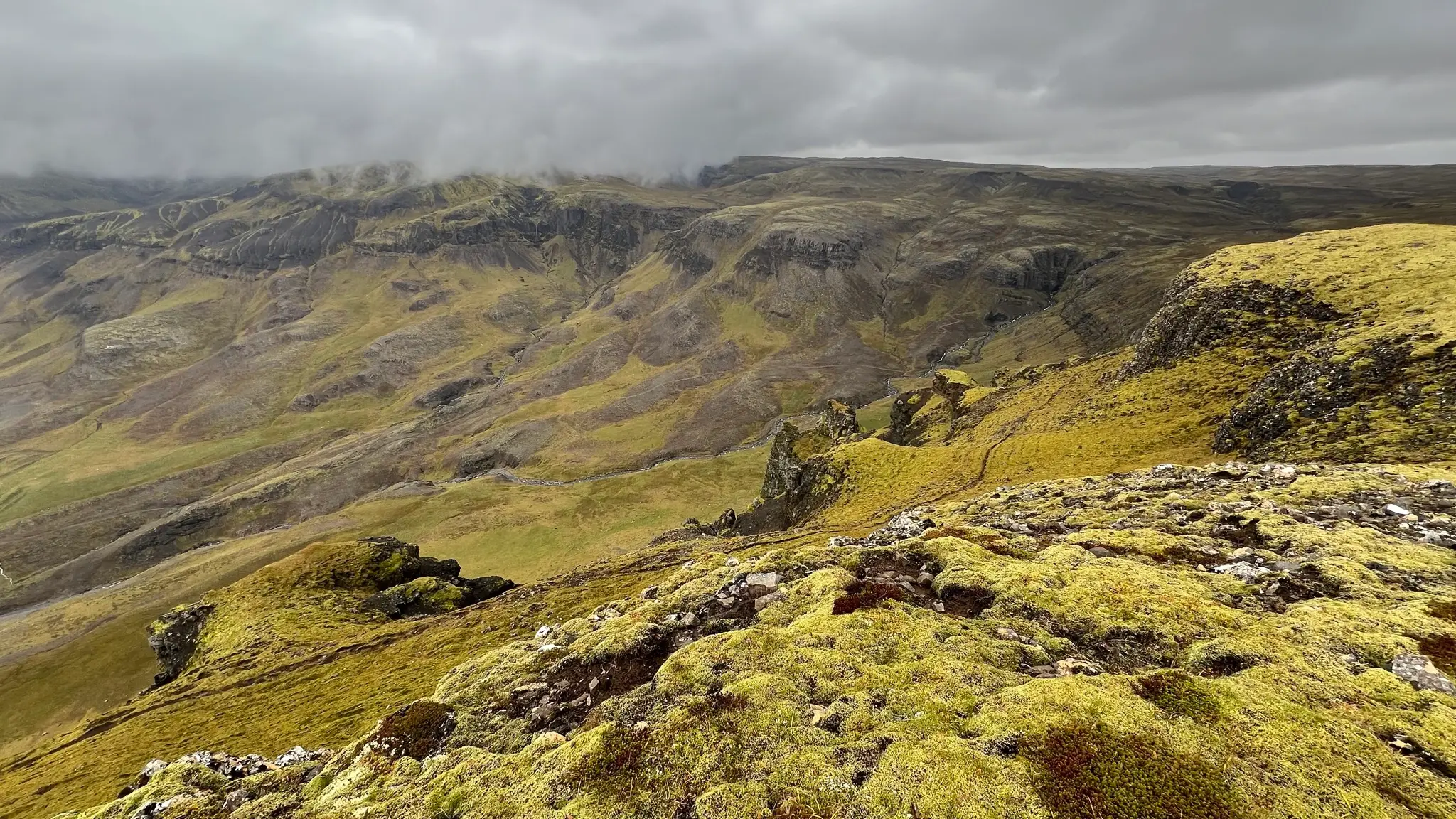
The main attraction is exploring the jagged cliff edge. Deep gullies separate rocky fingers built of successive layers of basalt.
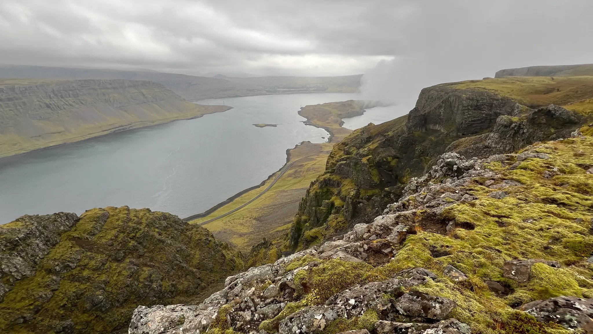
The top layer is substantially thicker than the deeper ones and the rock face is near vertical.
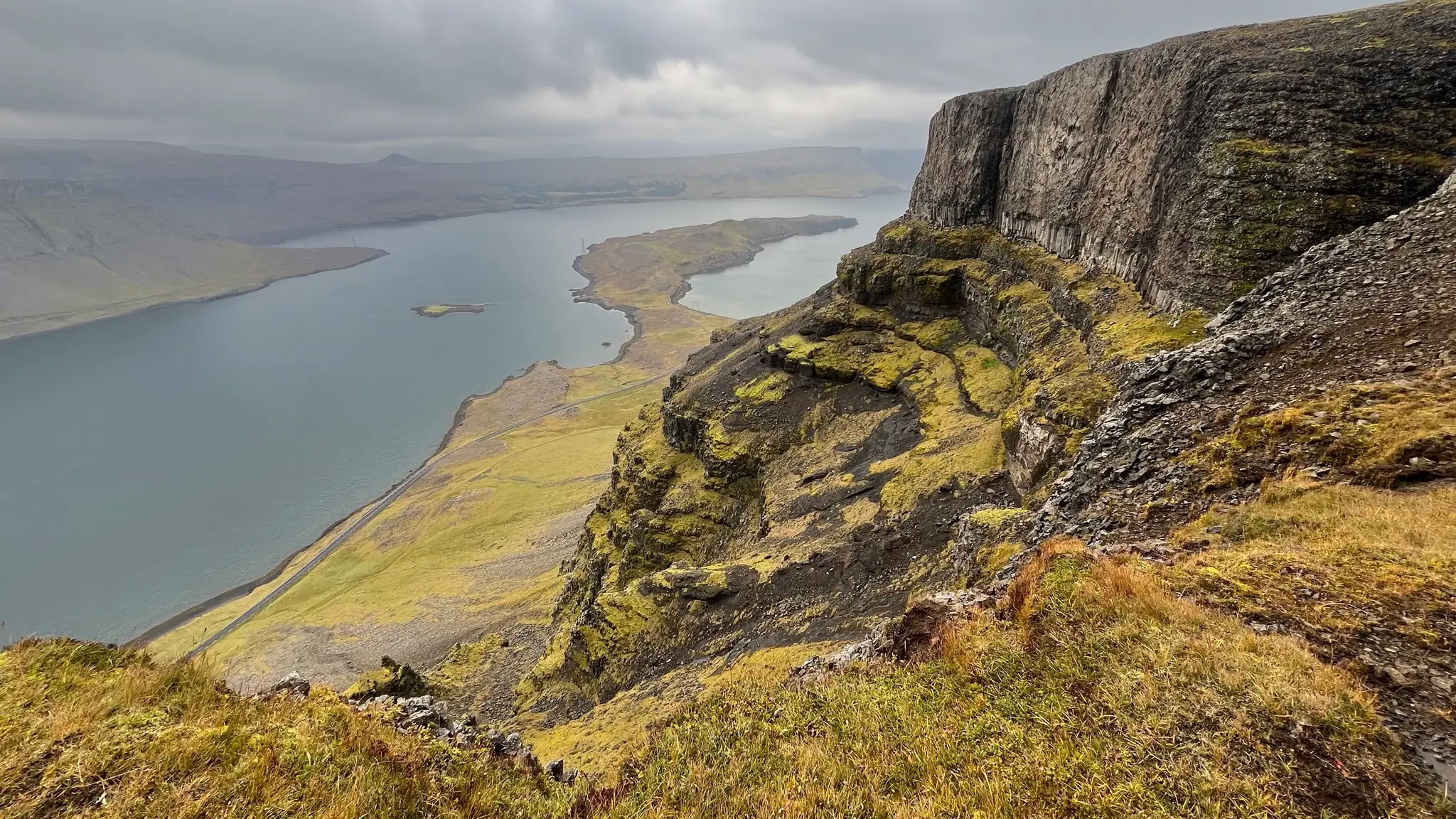
The jagged ridge line is a perfect foreground for the amazing far reaching vistas. On the south side, the fjord is bracketed by a stubby hill called Múlafjall. Behind it and to the east, you can glimpse the many peaks of the Botnsúlur range, Vestursúla being the closest.
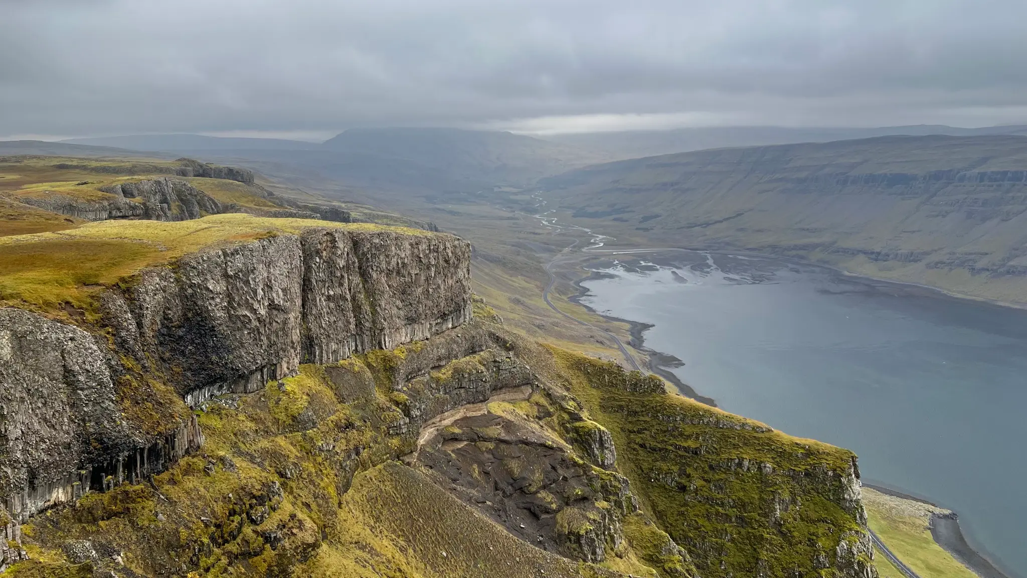
At 4.3km from the start a marshy dip separates you from the plateau’s end. You will reach it at the 4.5km mark, marked by a cairn atop a rocky mound.
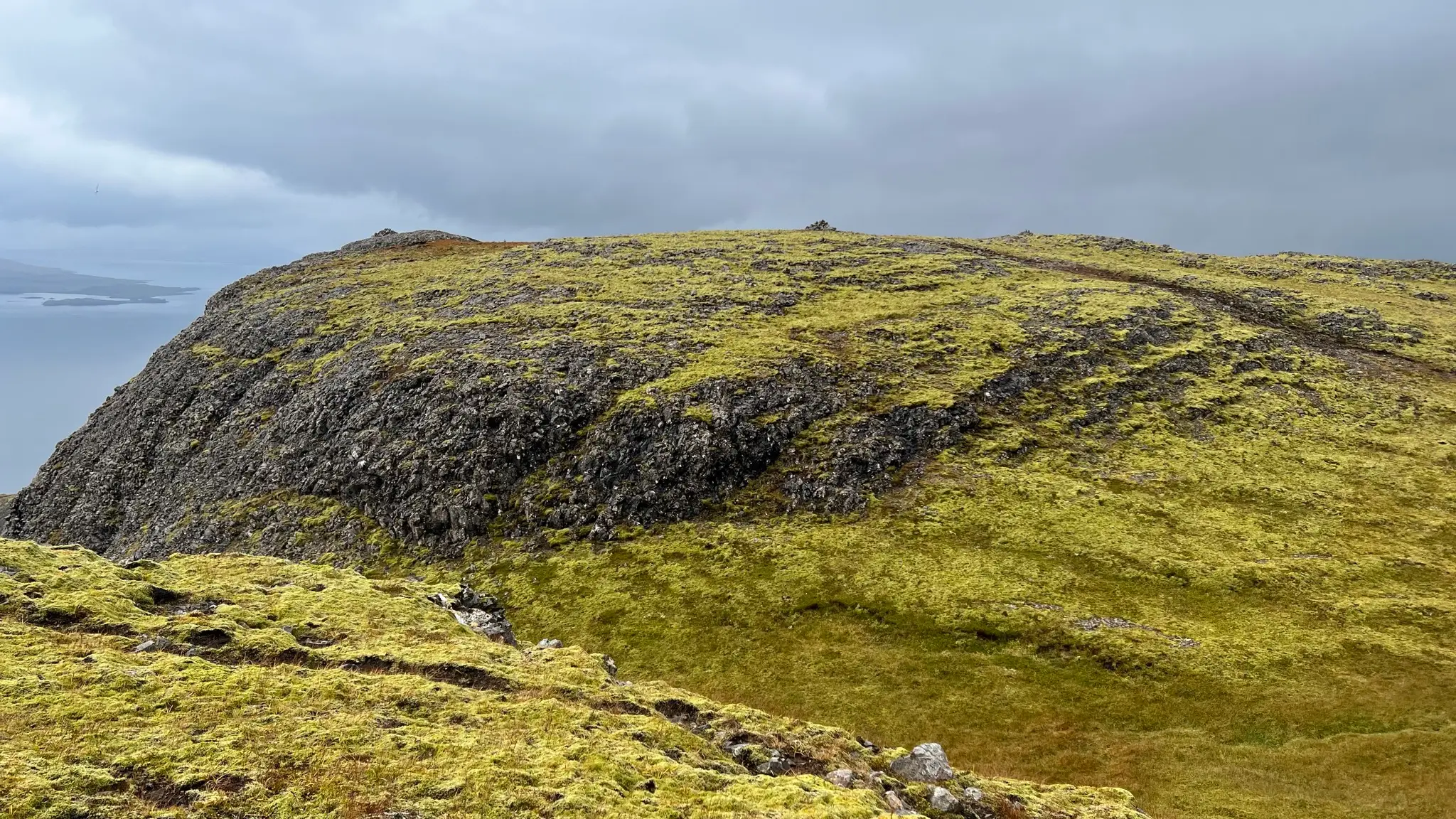
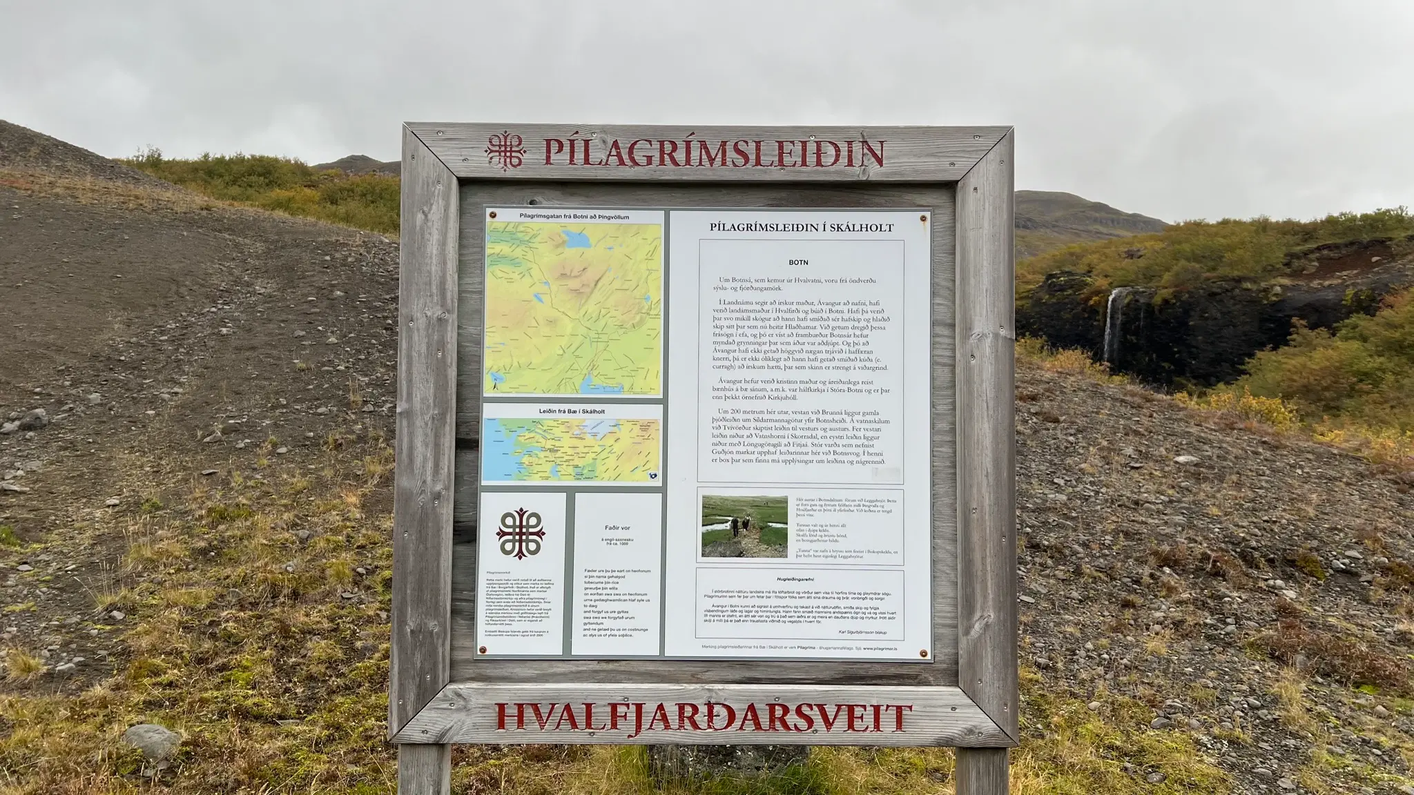
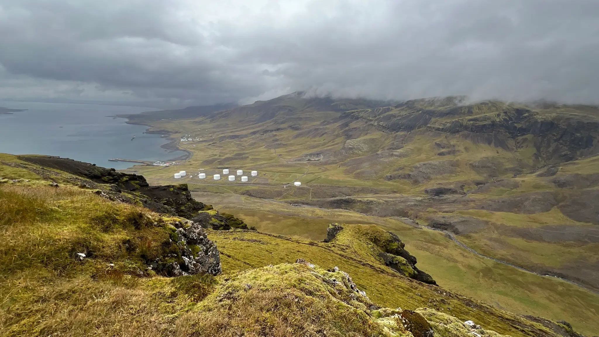
At the western end of the plateau the precipitous drops encircle you on three sides, allowing for unimpeded views towards the fjord. Straight ahead a narrow peninsula, þyrilsnes, extends crookedly into the inlet. Sit on the sheltered rocks right below the mound and enjoy one of the best lunch spots in western Iceland.
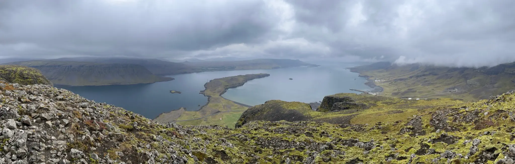
To the NW þyrill is bordered by the Litlasandsdalur valley. An old quarry and circular storage structures dot the valley.
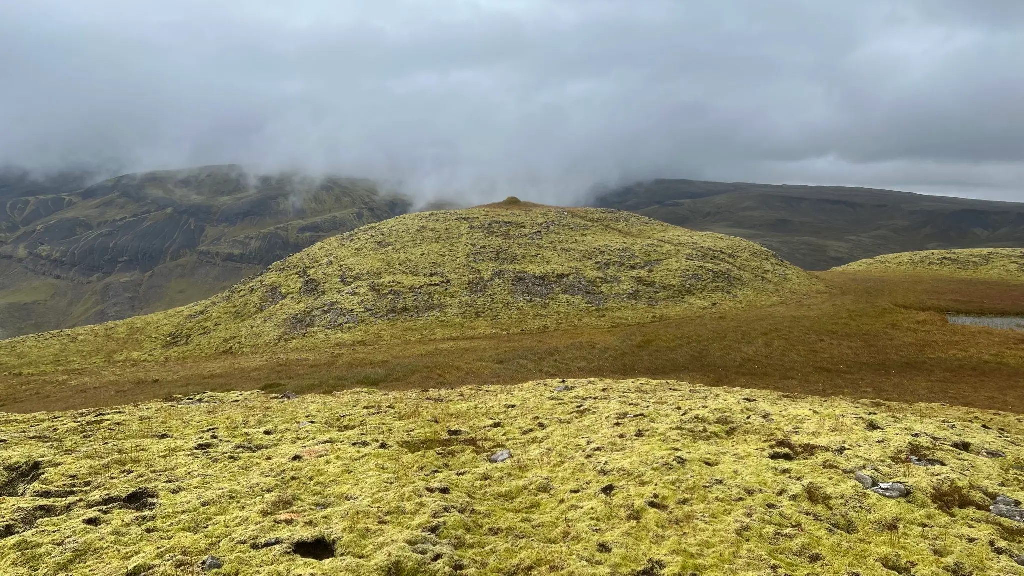
To return you can retrace your steps or, alternatively, explore the northern part of the plateau, where strange rocky mounds, barely covered by electric-green moss, are separated by boggy depressions.
Beyond the Litlasandsdalur valley the ridge continues NW. The slopes are less abrupt and not as dramatic-looking as þyrill’s.
Continue due east on þyrill’s summit plateau, rejoining Síldarmannagötur at around the 6.4km mark. The plateau is fairly monotone and Síldarmannagötur is easy to miss; look for the cairn marking the trail intersection.