The route
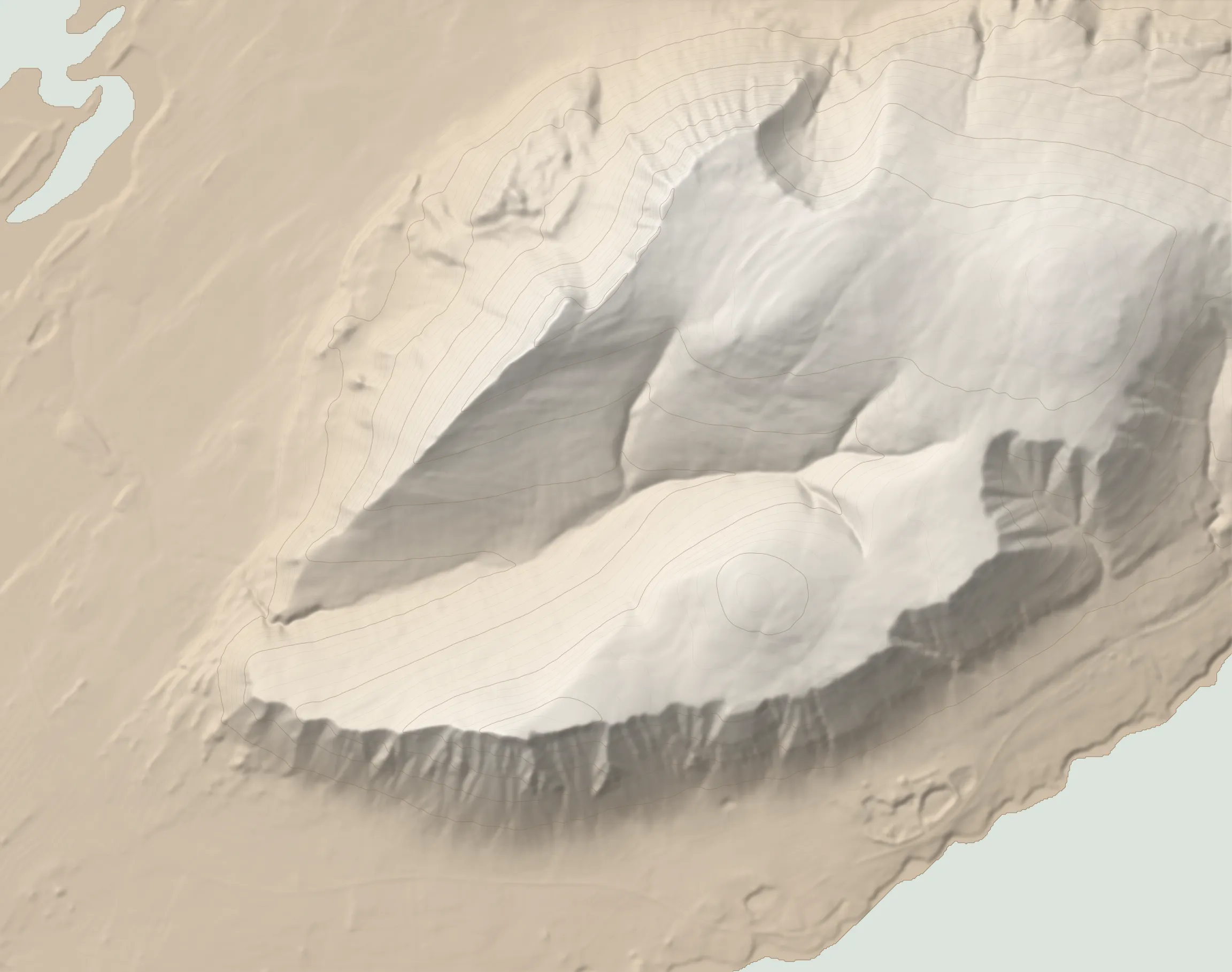
As you travel north from the capital, Akrafjall is the massif you see ahead of you on the other side of Hvalfjörður before you duck into the underwater tunnel. Bordered by the waters of Hvalfjörður on the south side and Leirárvogar on the north side, Akrafjall has the same elongated, rugby ball shape as the Akranes peninsula itself. This walk roughly circumnavigates the mountain’s edges, allowing views in all directions - from Reykjavík to the south, Esja across the bay to the south-east, Hafnarfjall to the north and even Snæfellsjökull to the north-west on a good clear day.
The mountain itself is quite unique. Once under a glacier, the massif is split down the middle by a glacial valley. On the west side, the inner valley drops down to just over 100m a.s.l., allowing relatively easy access to the massif’s inner sanctum. The river bisecting the valley is named Berjadalsá. There are two ways up, one on each side of Berjadalsá. Depending on whether you want to do the circle clockwise or counterclockwise, one of them will be your way up and the other, your way down.
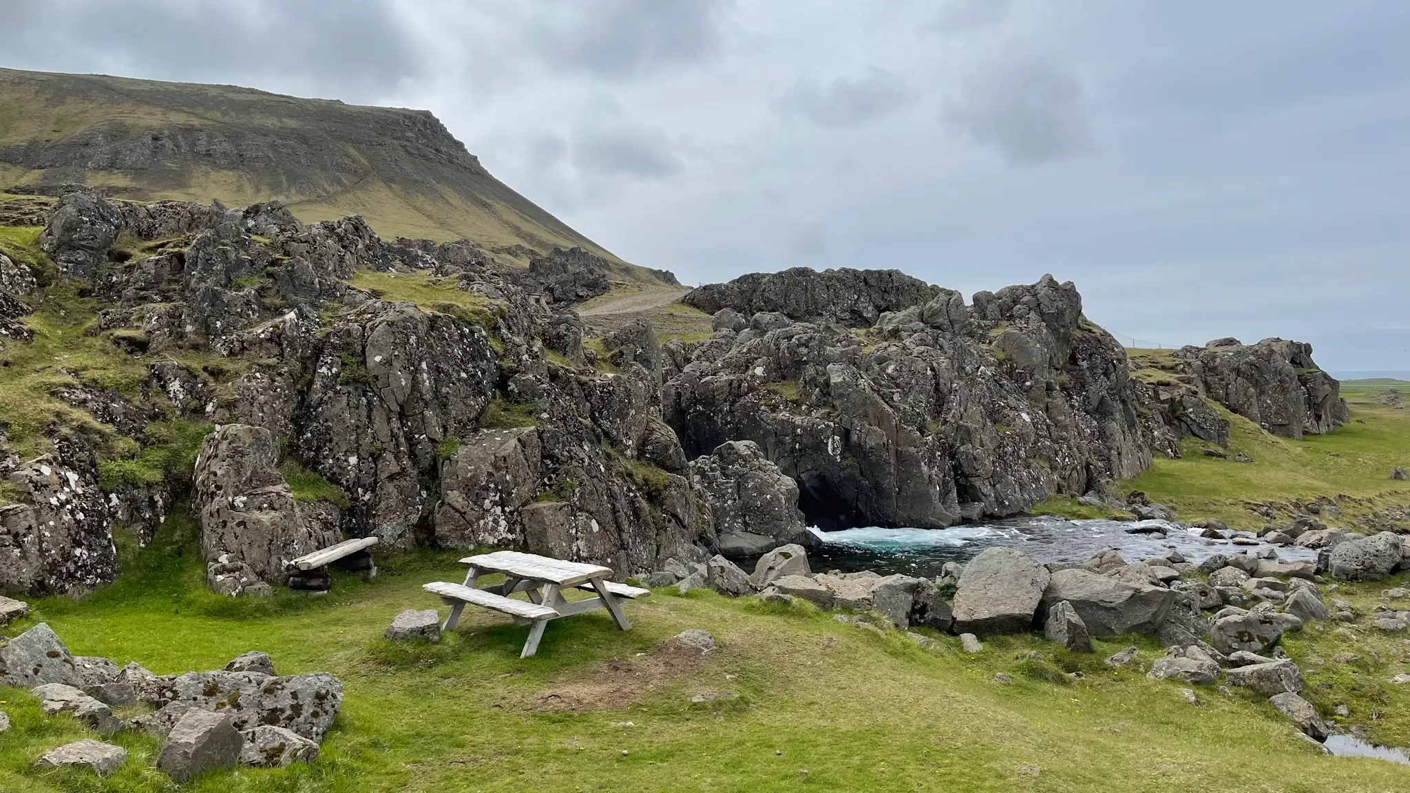
The route described here is counterclockwise, reaching Háihnúkur first on the south side. From the parking area head east for 50m, past a sheltered grassy area featuring a picnic table.
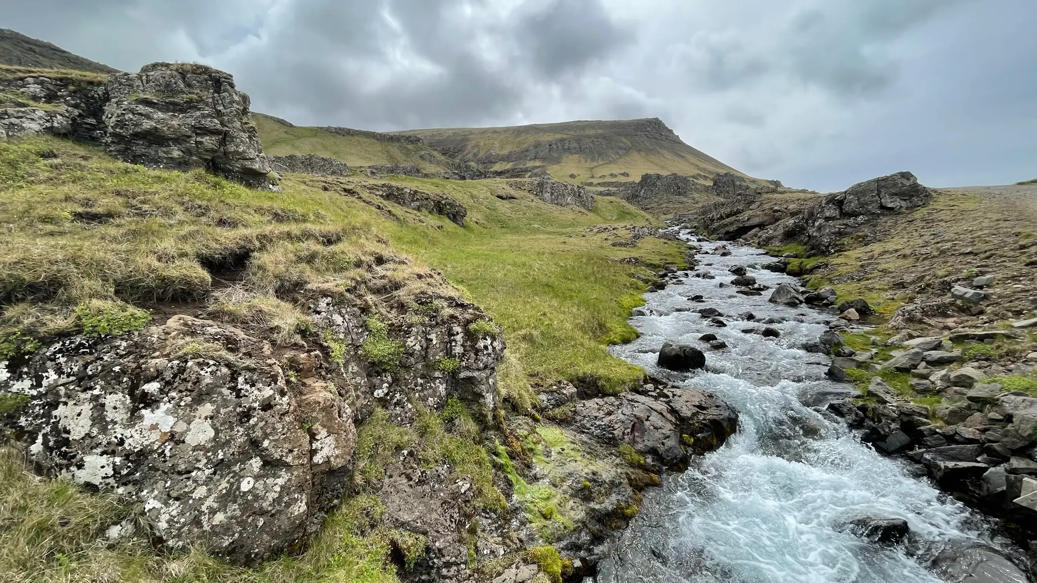
At the top of the cliffs turn south on a dirt road and cross Berjadalsá via a bridge.
At .33km the road ends next to a reservoir providing potable water to the town of Akranes. The water reservoir is protected (from horses and sheep) by a fence, but there is a stile you can use to climb over.
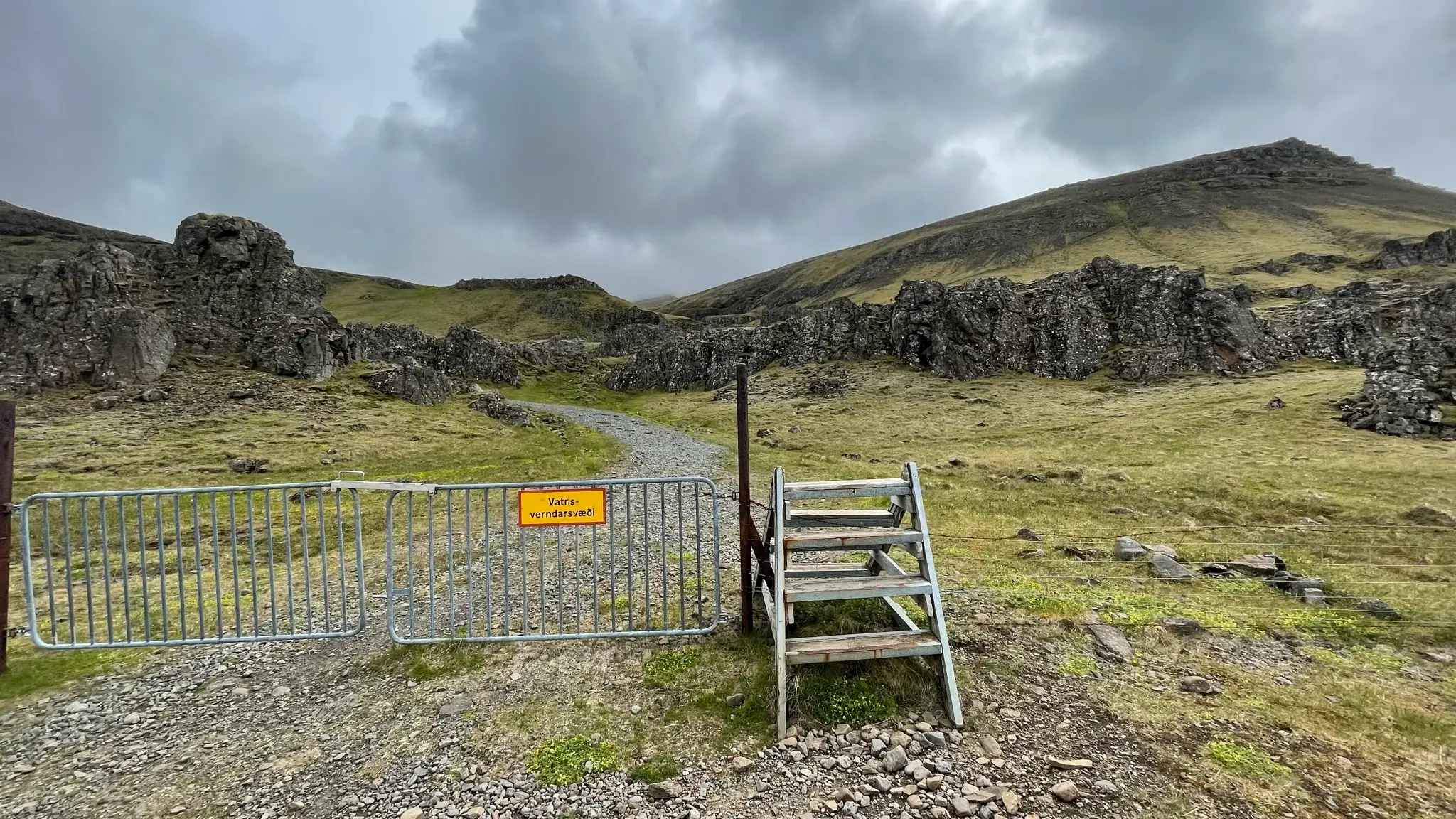
Continue uphill on the right side of the reservoir following the gravel path that turns into a well defined trail. Underfoot the grassy slopes offer good grip, although there are some eroded sections.
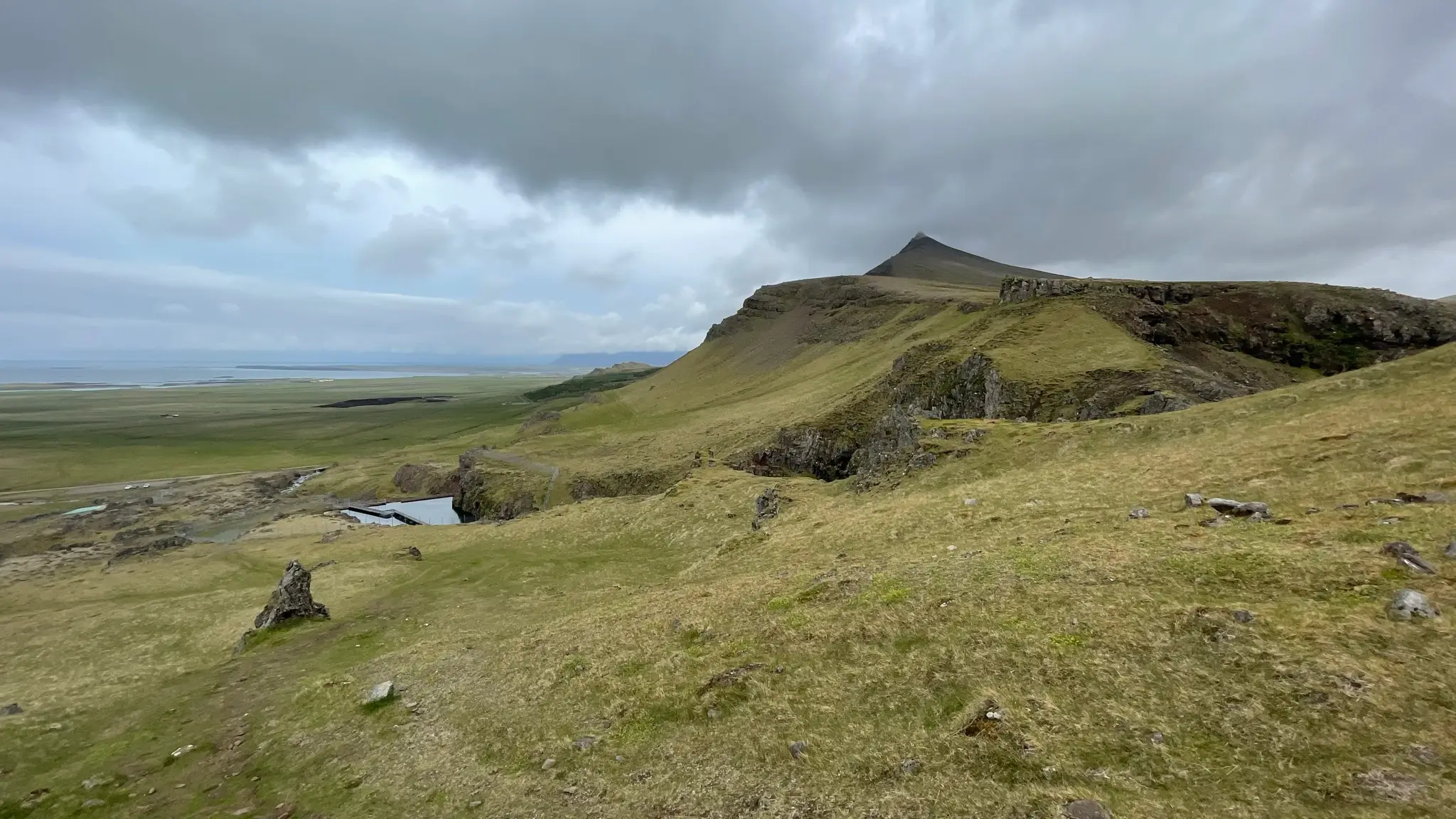
At around .6km from the start, the path angles south, climbing diagonally along the steep slope. At .7km it goes over a rock belt.
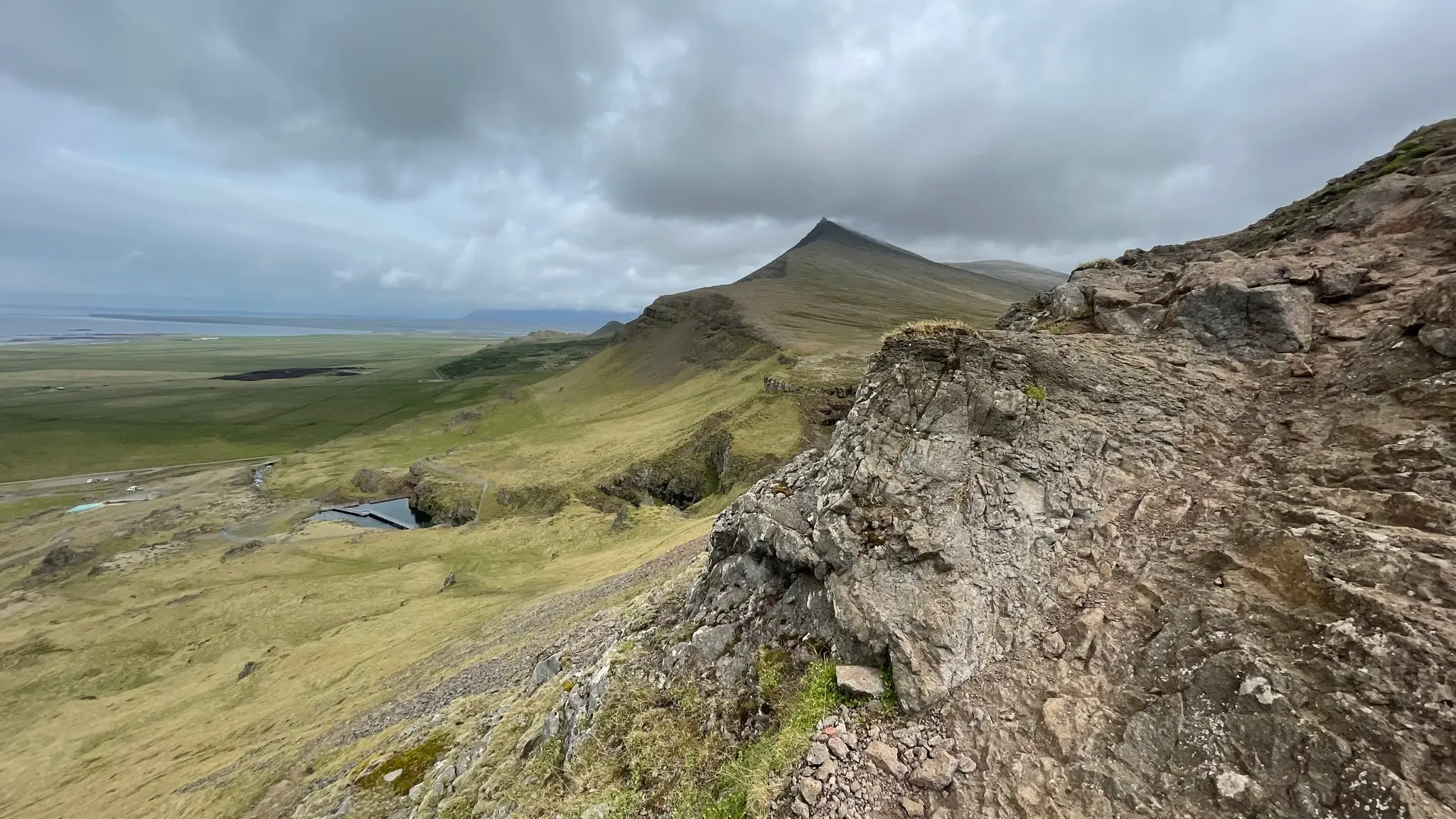
You have now reached the inner valley (Berjadalur), but the climb isn’t done. From here the trail continues climbing steadily along the south slope of Berjadalur, aiming for the edge.
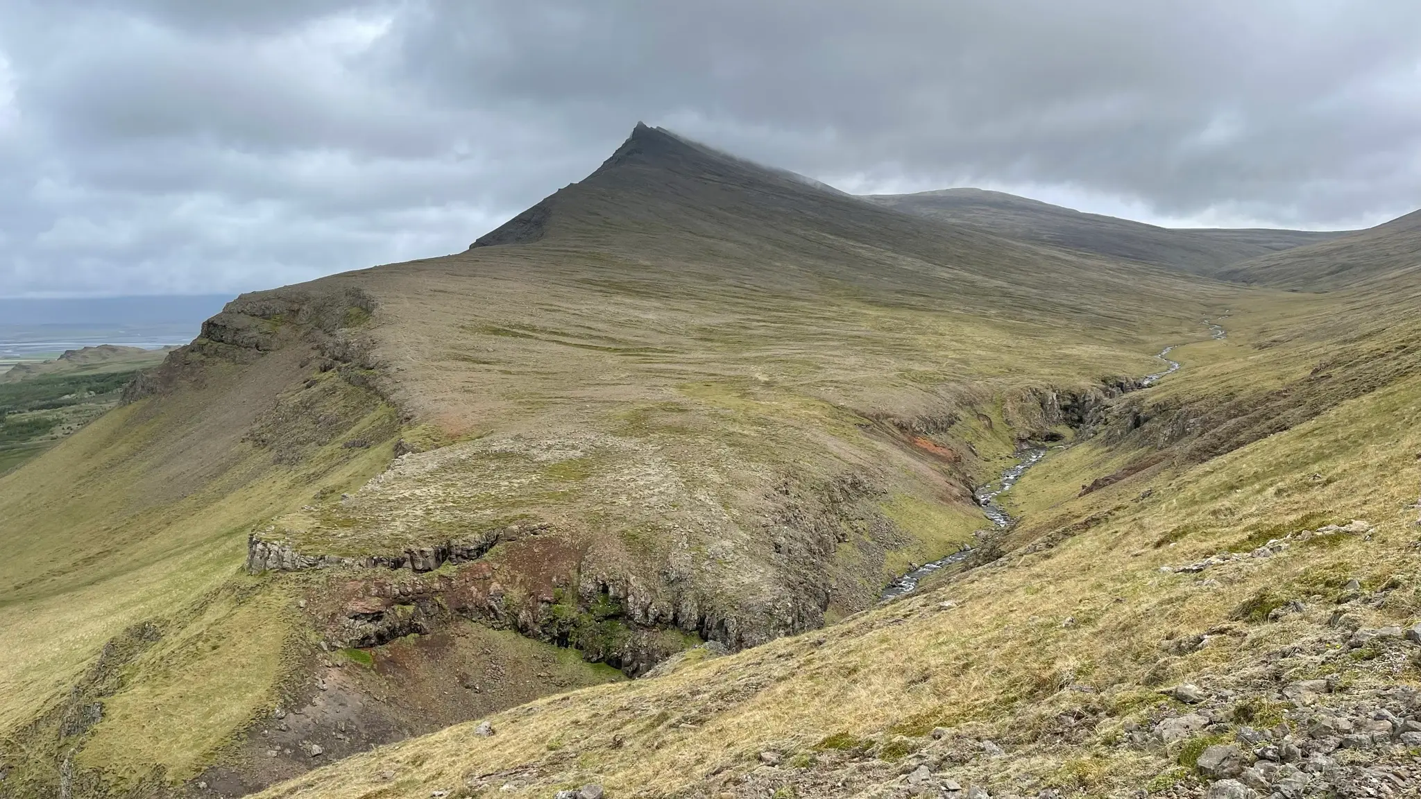
Once you advance into the valley, a completely different world opens up, one untouched by humans, contrasting sharply with the well developed lower reaches of the Akranes peninsula.
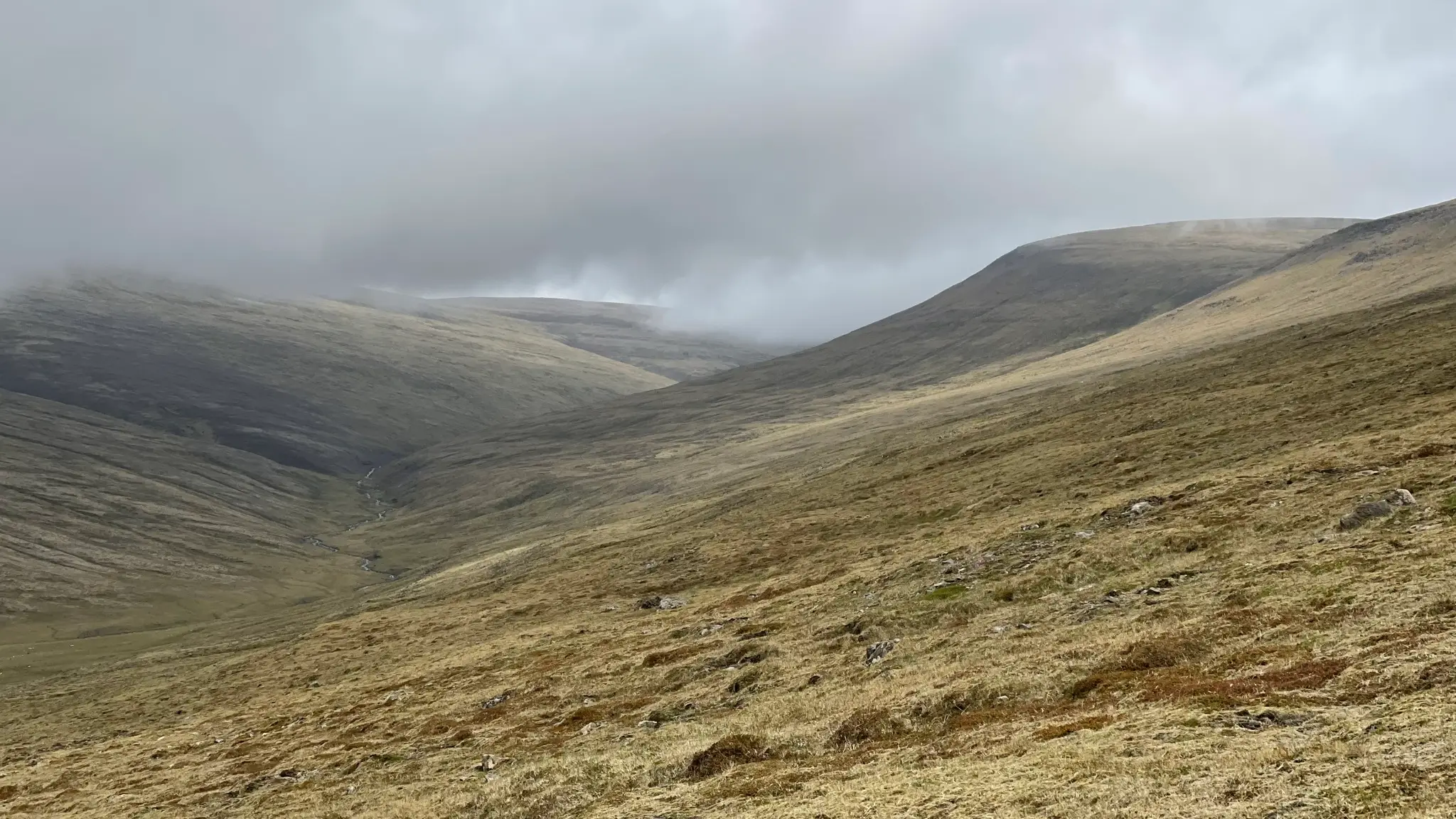
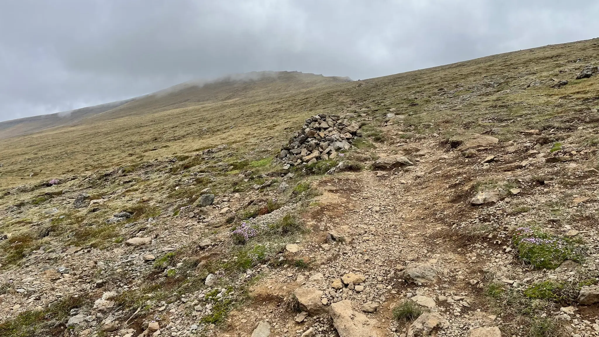
Underfoot the grass is gradually giving way to dirt and moss patches. The trail is still reasonably well defined, and marked by occasional cairns.
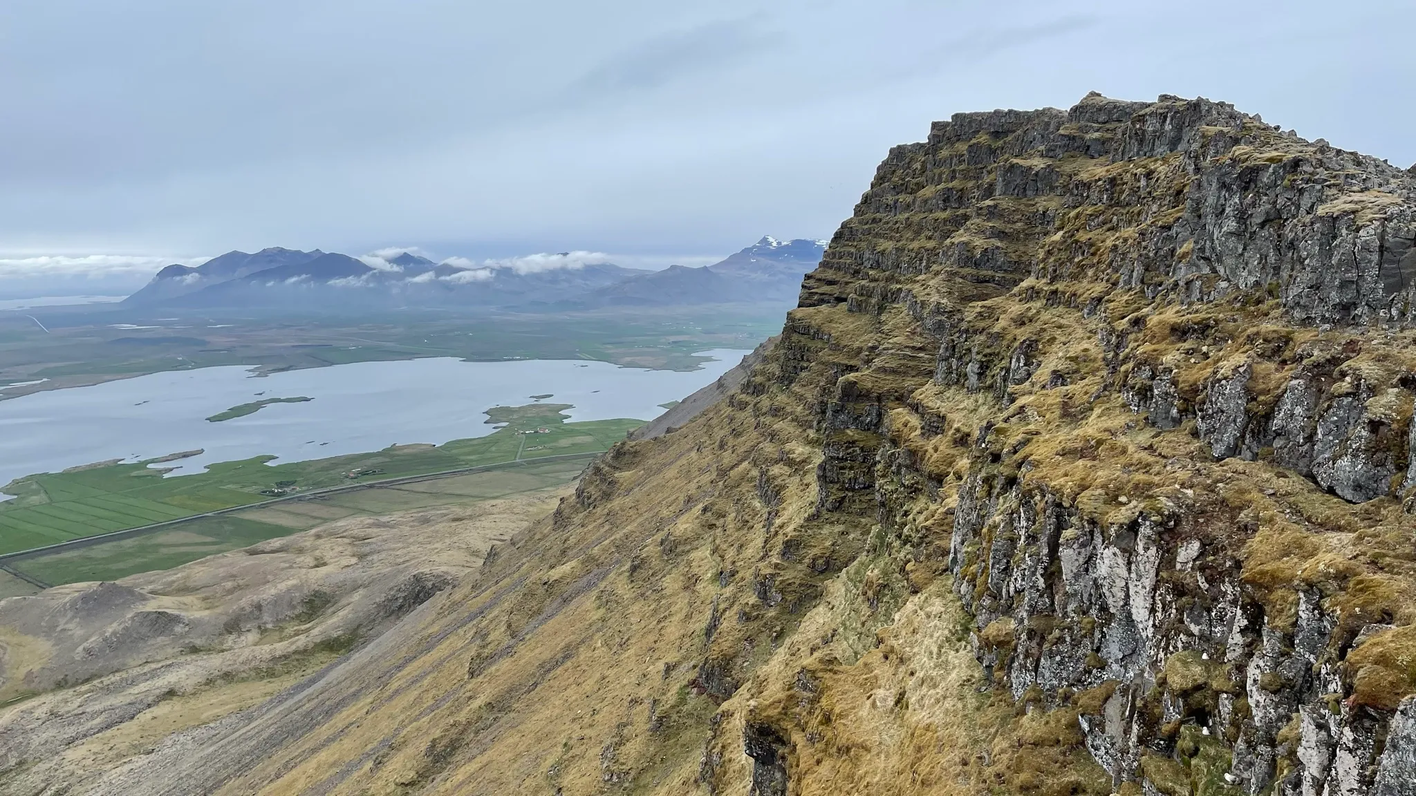
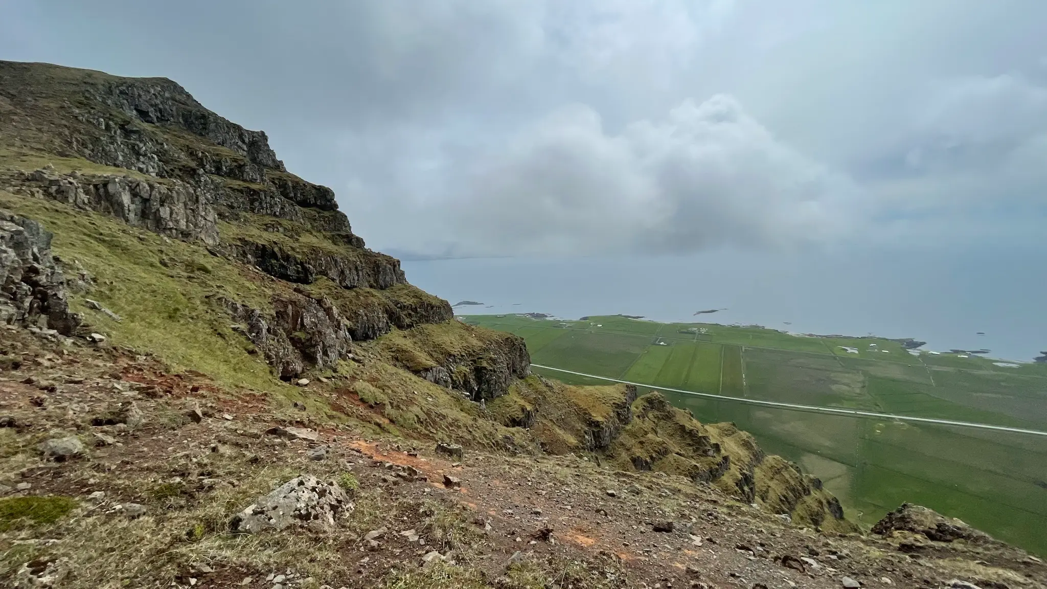
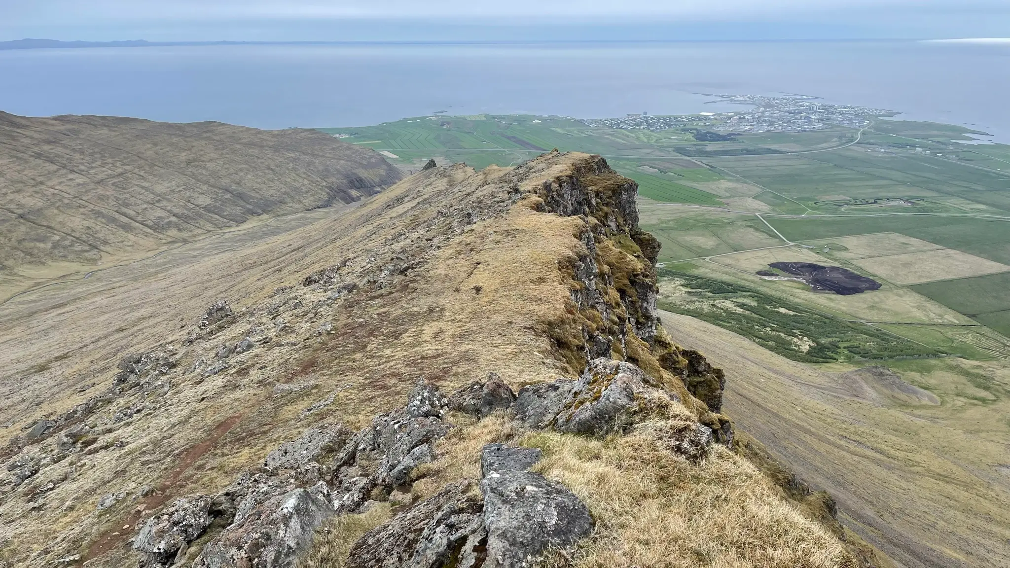
You will reach the edge at 1.7km from the start, at around 380m a.s.l. The change in scenery is startling. You go from mellow, green hillsides to a steep drop overlooking farmland, the Hvalfjörður bay and Esja and Reykjavík beyond.
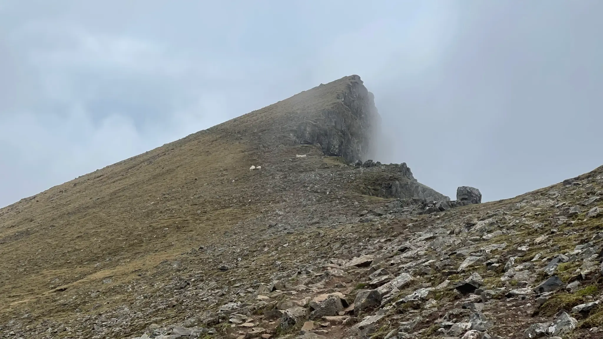
Ahead of you, Háihnúkur looks tantalizingly close but it is still .8km and 120m of altitude gain away.
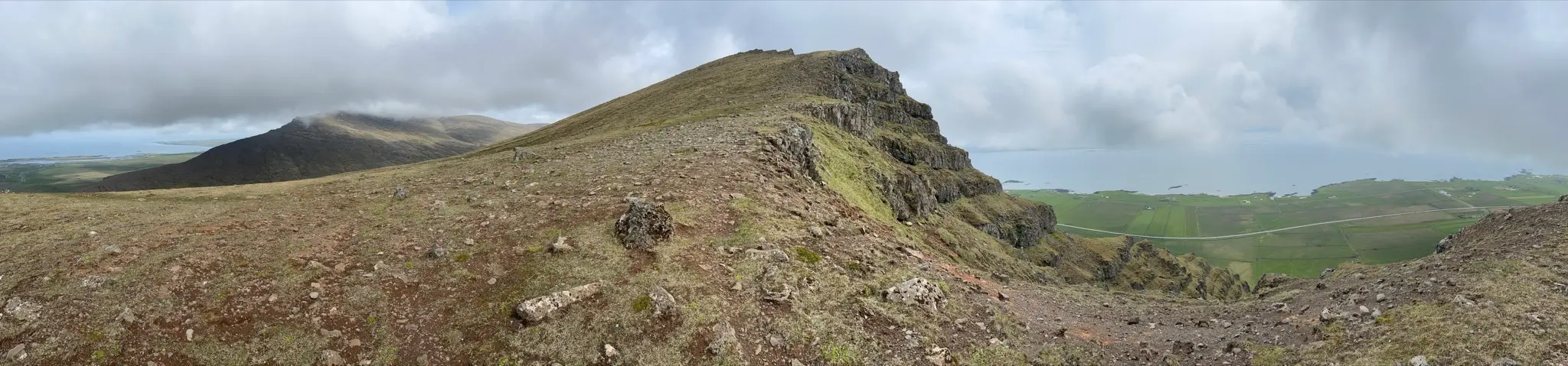
Keep following the ridge until 2.4km from the start. At that point the trail keeps bearing east before a perpendicular spur leads south to the summit.
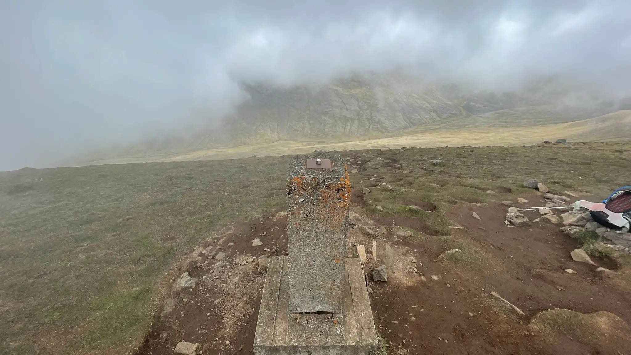
At the summit you will find a cement marker as well as a metal box with the customary trail guestbook.
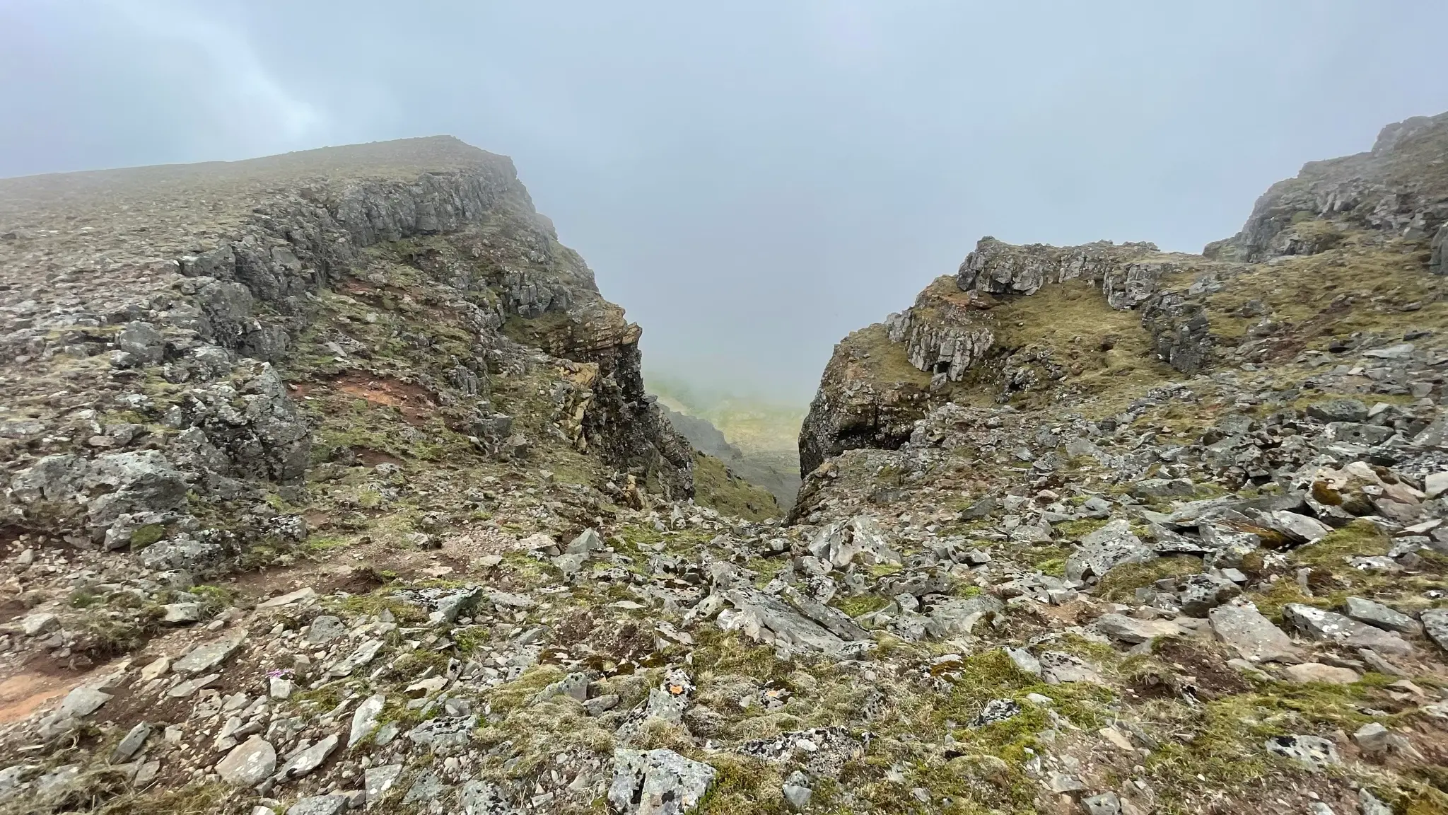
From this point on, continue east along the ridge for another 400m, along the tops of a couple of deep ravines.
The narrow ridge now opens up into a gently descending alpine pasture, pockmarked by rubble. You have the choice to continue following the cliffs’ edge or you can cut across, bearing north-east-east.
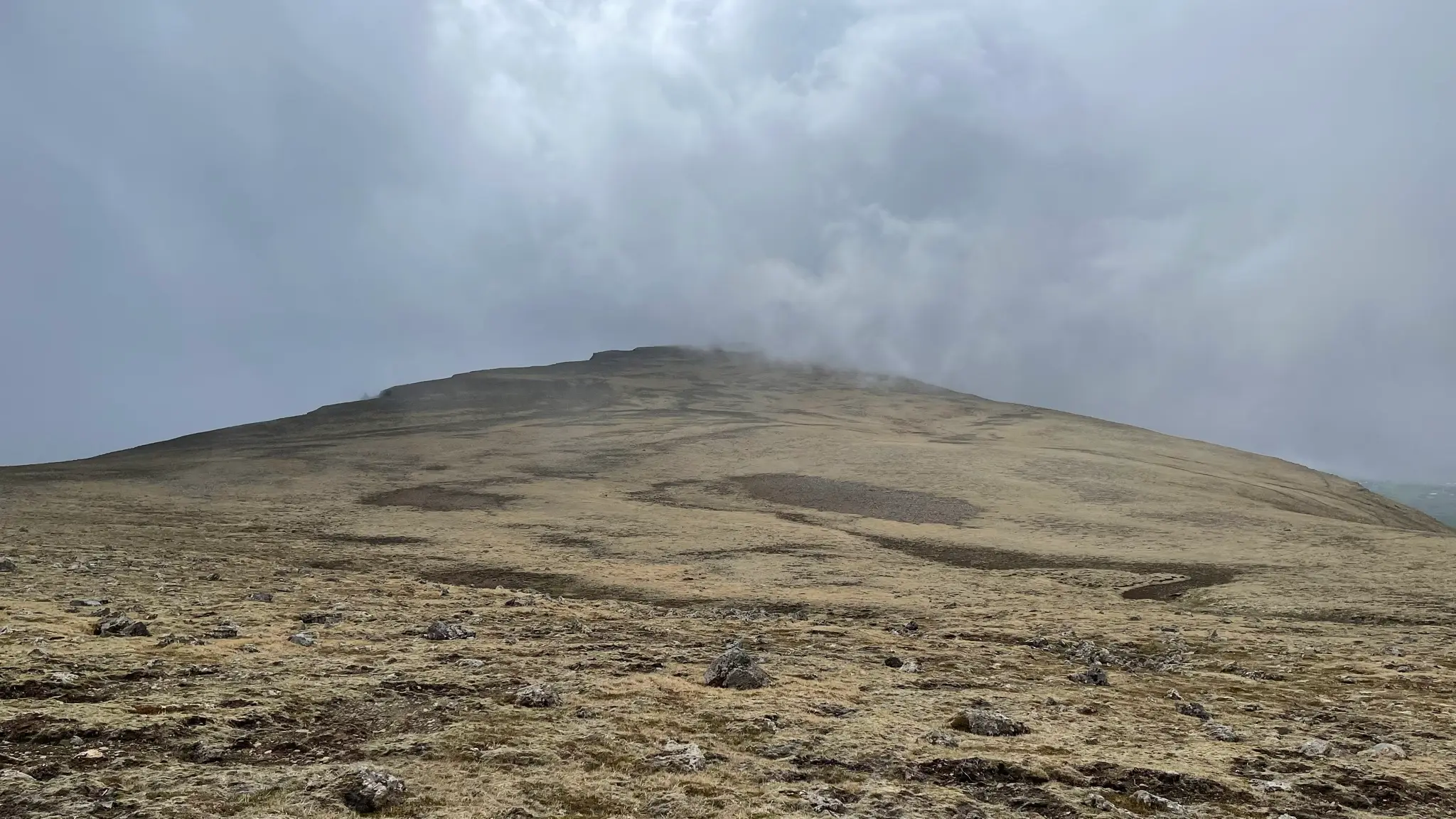
If you decide to cut across, any resemblance of a path will be gone shortly after leaving the ridge trail. At around 3.8km you will start ascending again towards the next peak, Jökulbunga (527m). Jökulbunga, reached at around 4.5km from the start, is shield-like and unremarkable. Continue due north-east-east descending gently into another depression created by a tributary of Berjadalsá at around 5.3km. Go around the wet marshland then turn north-east aiming once again for the edge. At 6.5km an oddly symmetrical ravine hosts the upper reaches of the Kúludalsá stream.
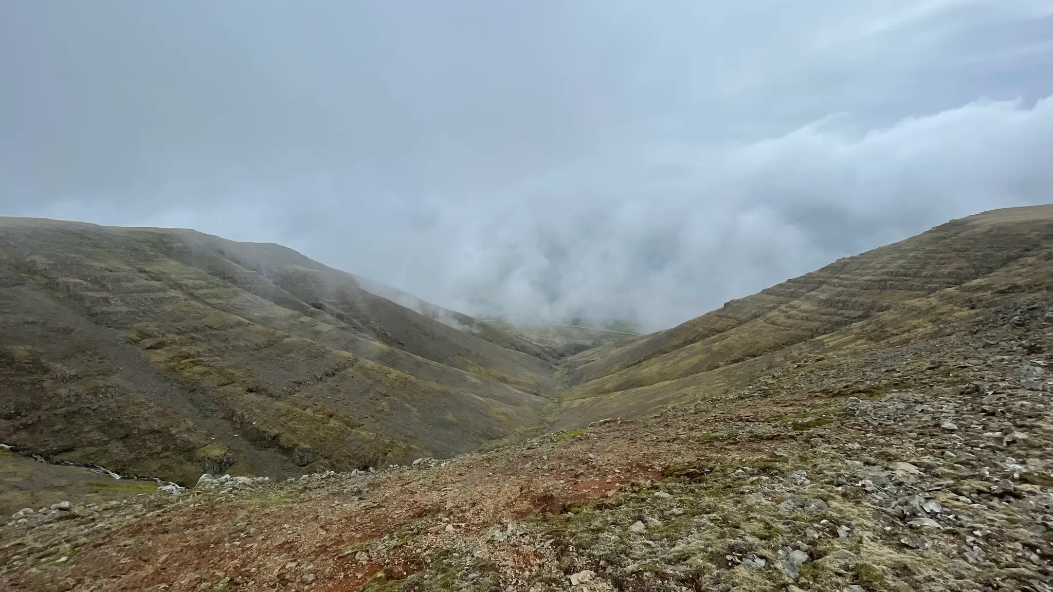
To continue head north-north-west until you reach Berjadalsá, now just a small lazy stream puddling along the grassy highlands.
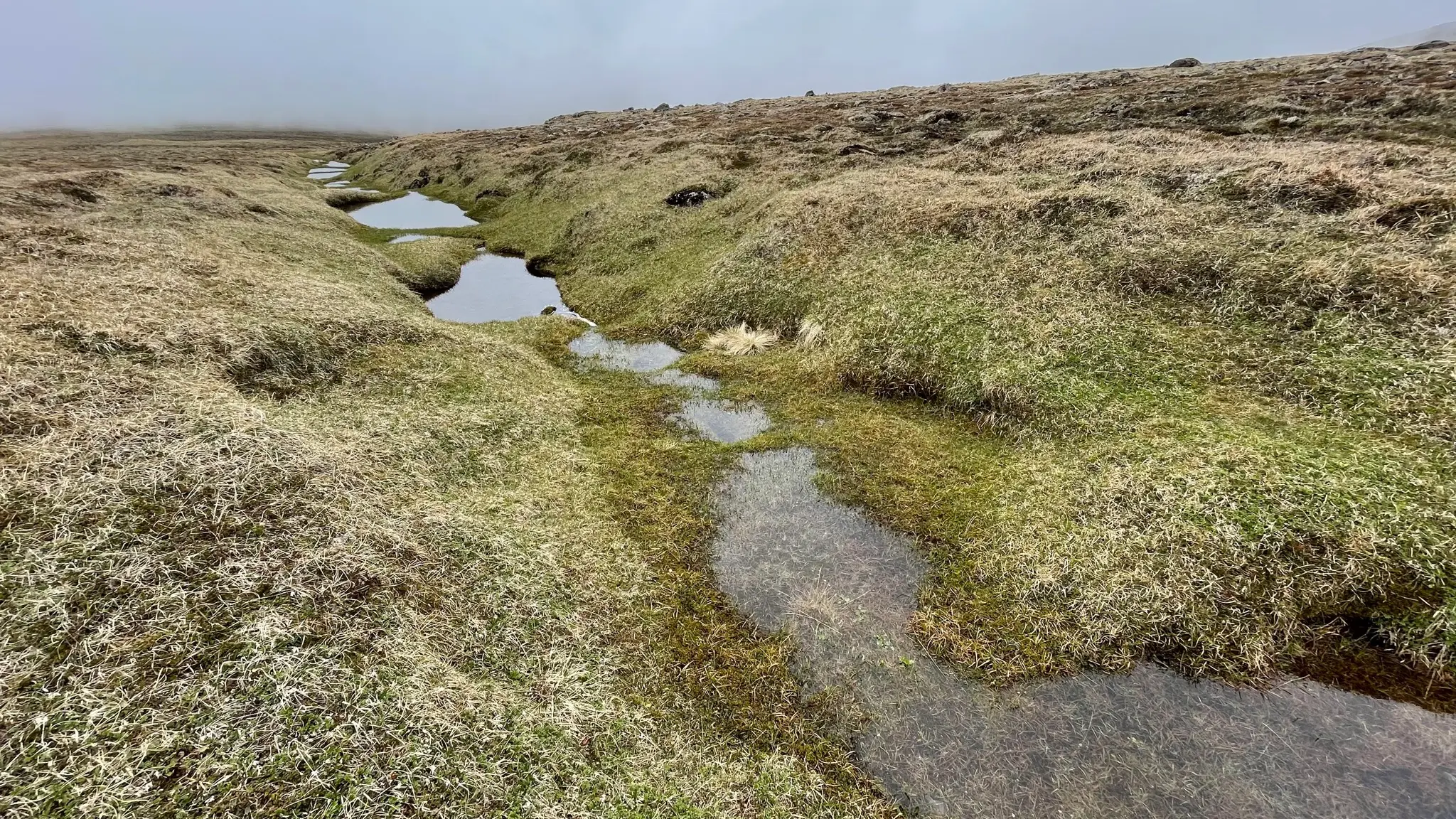
Cross Berjadalsá, then continue north-north-west until reaching an alpine pond at 7.7km.
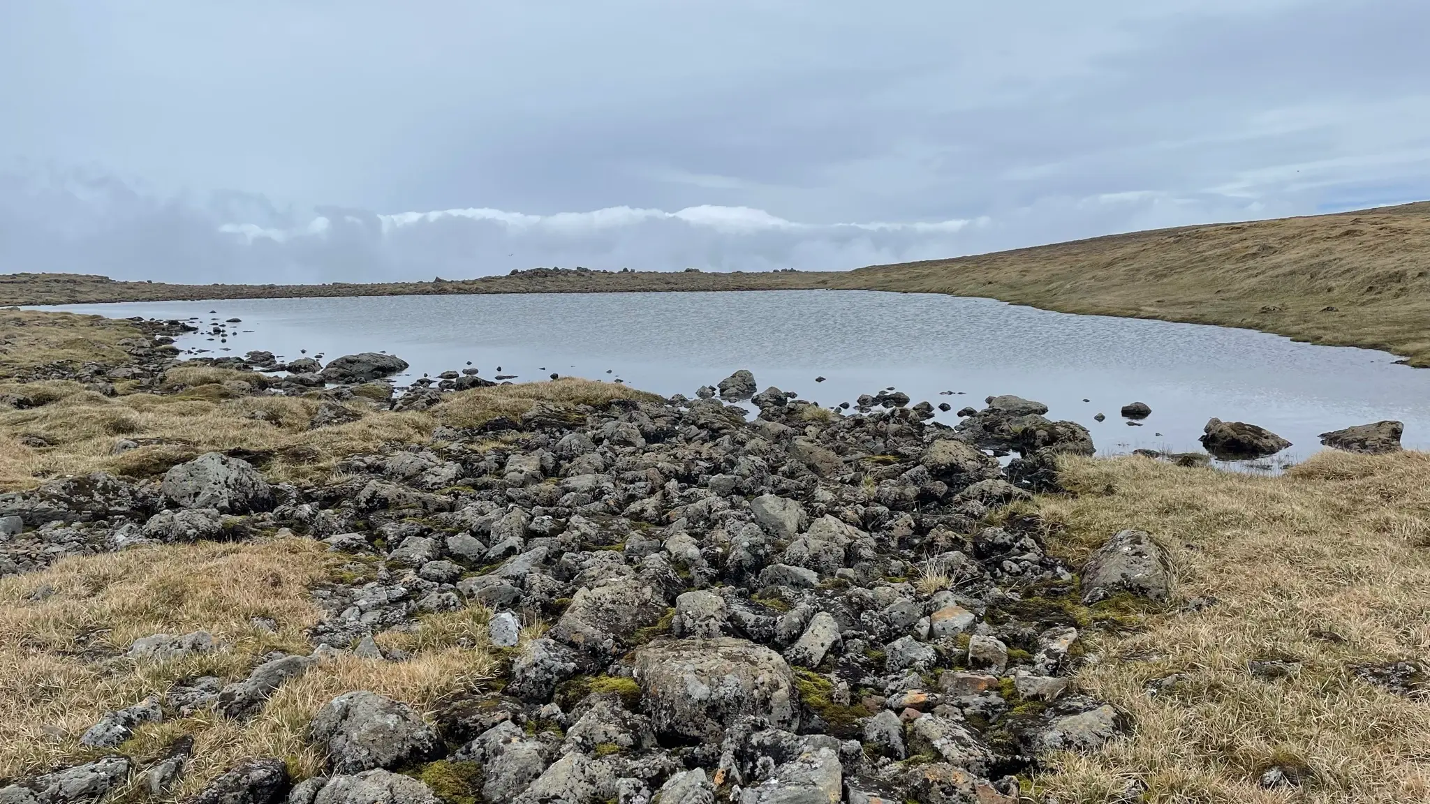
Shortly past the pond, a boulder field offers a good seating opportunity, perfect for surveying the landscape to the north (or, as it was when I visited, a blanket of low clouds).
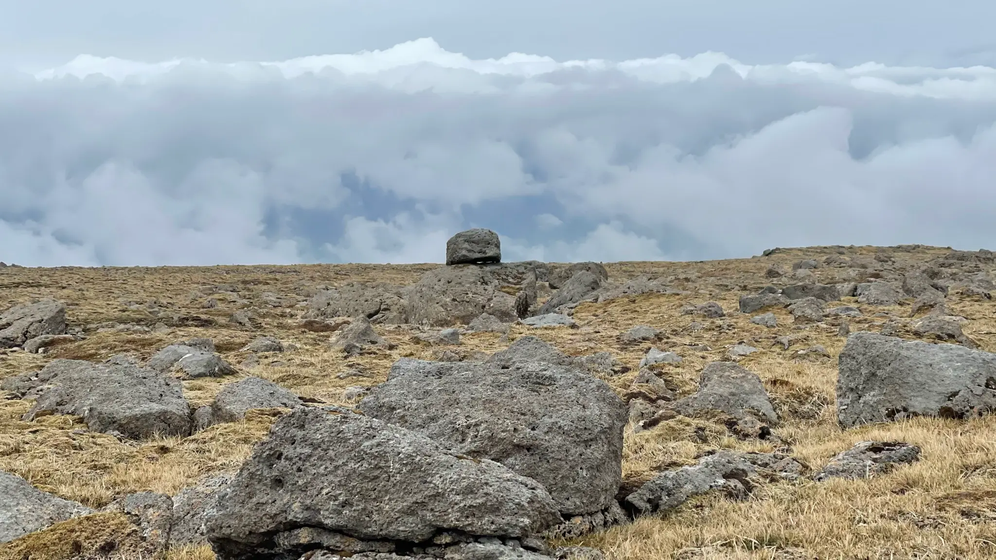
Continue due west across the uneven, boulder-filled field.
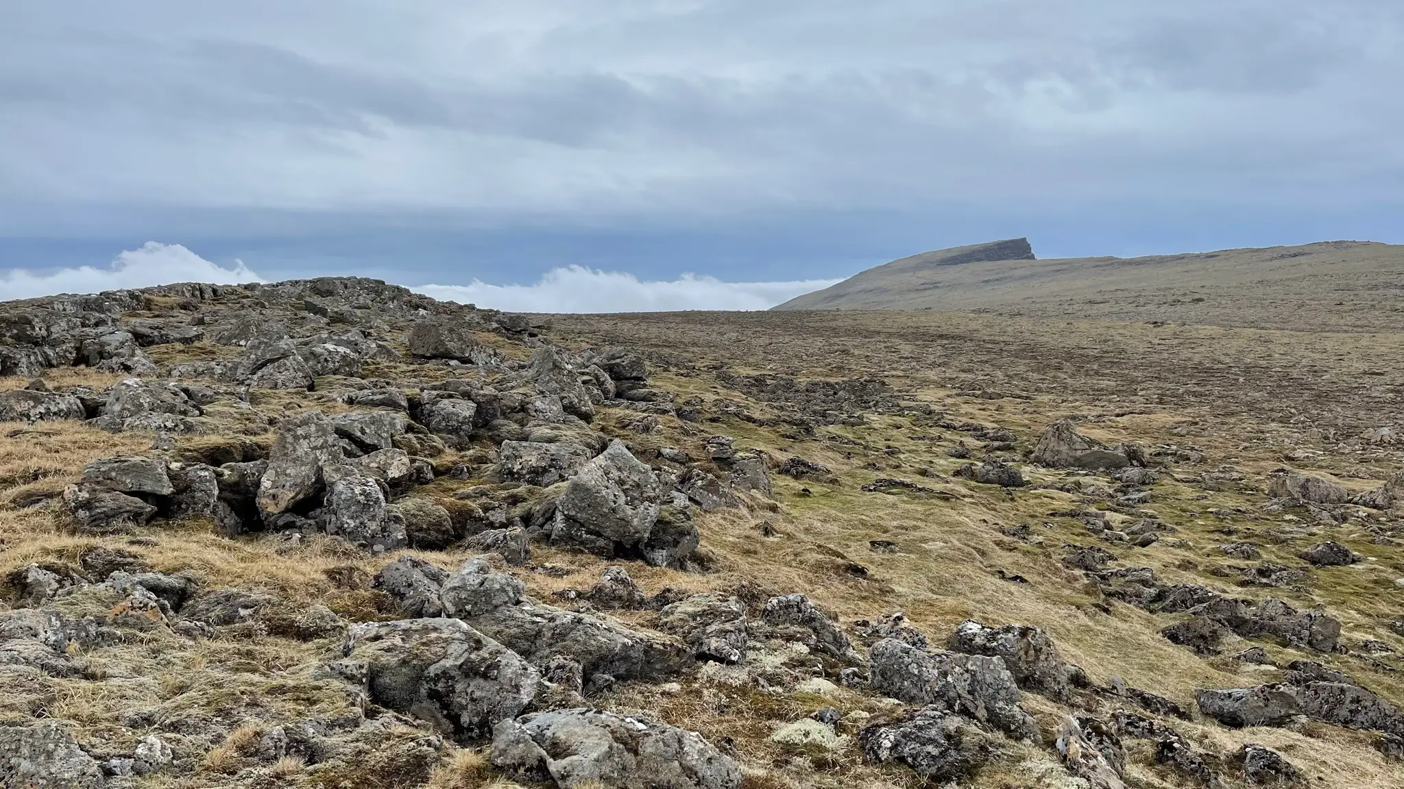
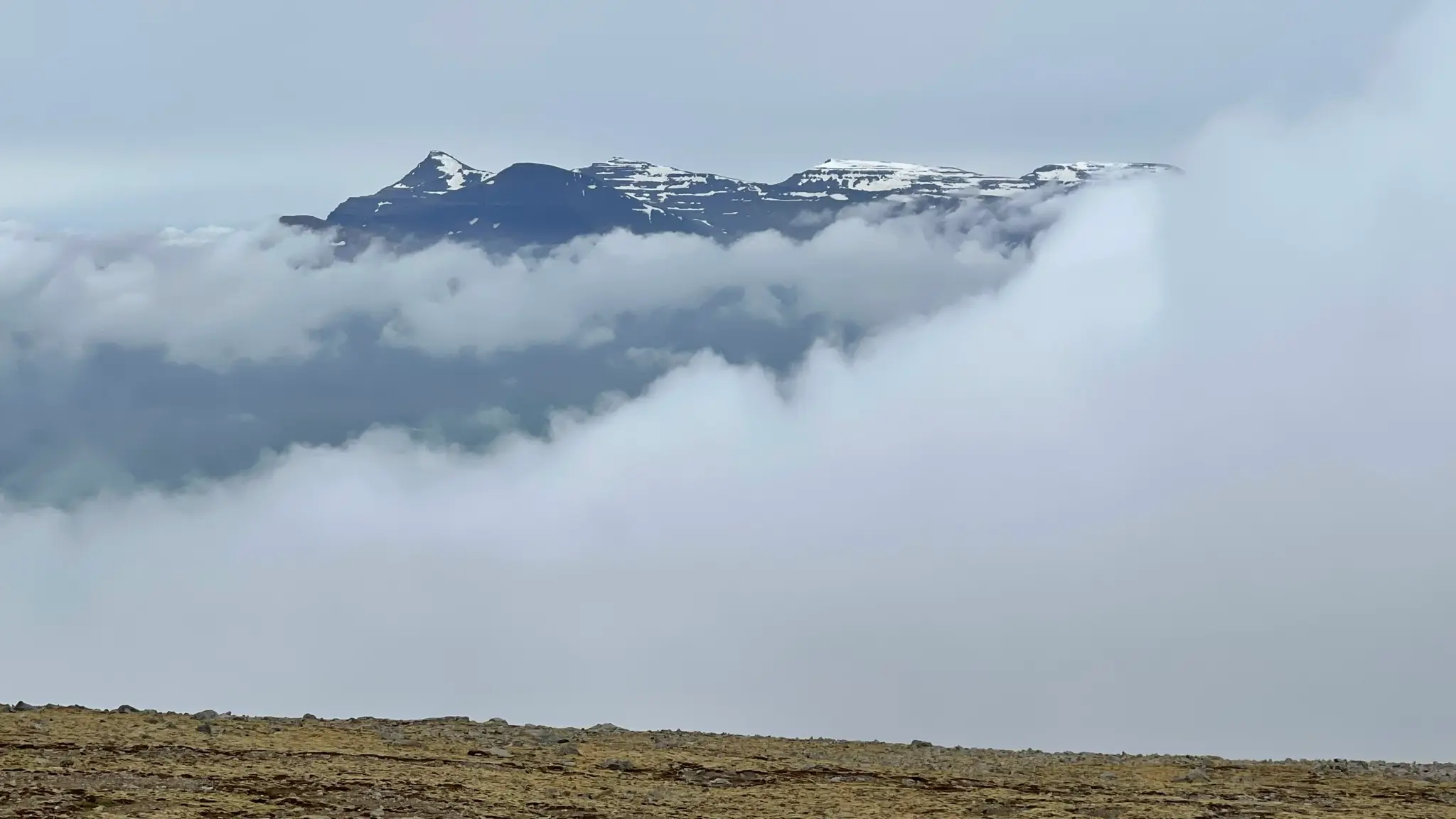
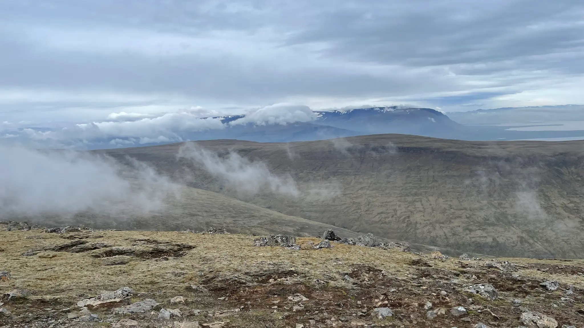
To the north, the snow filled peaks of the Hafnarfjall and Skarðsheiði ranges push up across the Leirárvogar bay.
At around the 10km mark you will reach the edge once again. Unlike the northern gentle upper slopes, the north-west edge ends in a steep drop. Follow the ridge for another .5km then veer right and steeply up to summit Geirmundartindur at around the 11km mark.
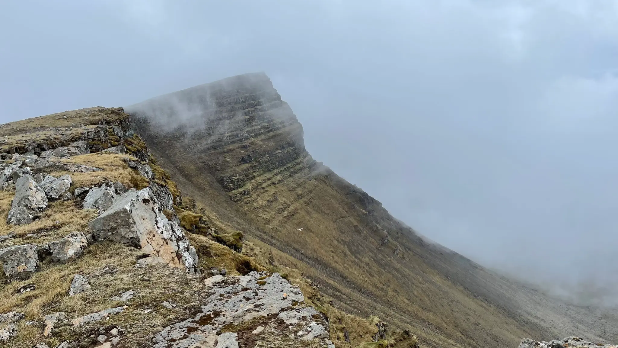
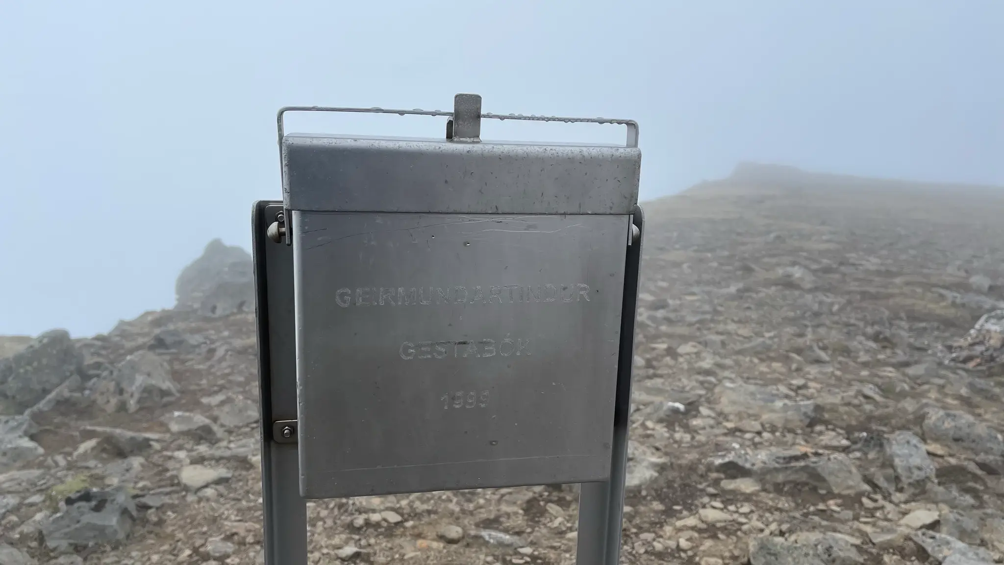
At 643m, Geirmundartindur is the highest point in Akrafjall and this walk. Another trail guestbook awaits, well protected in a metal container.
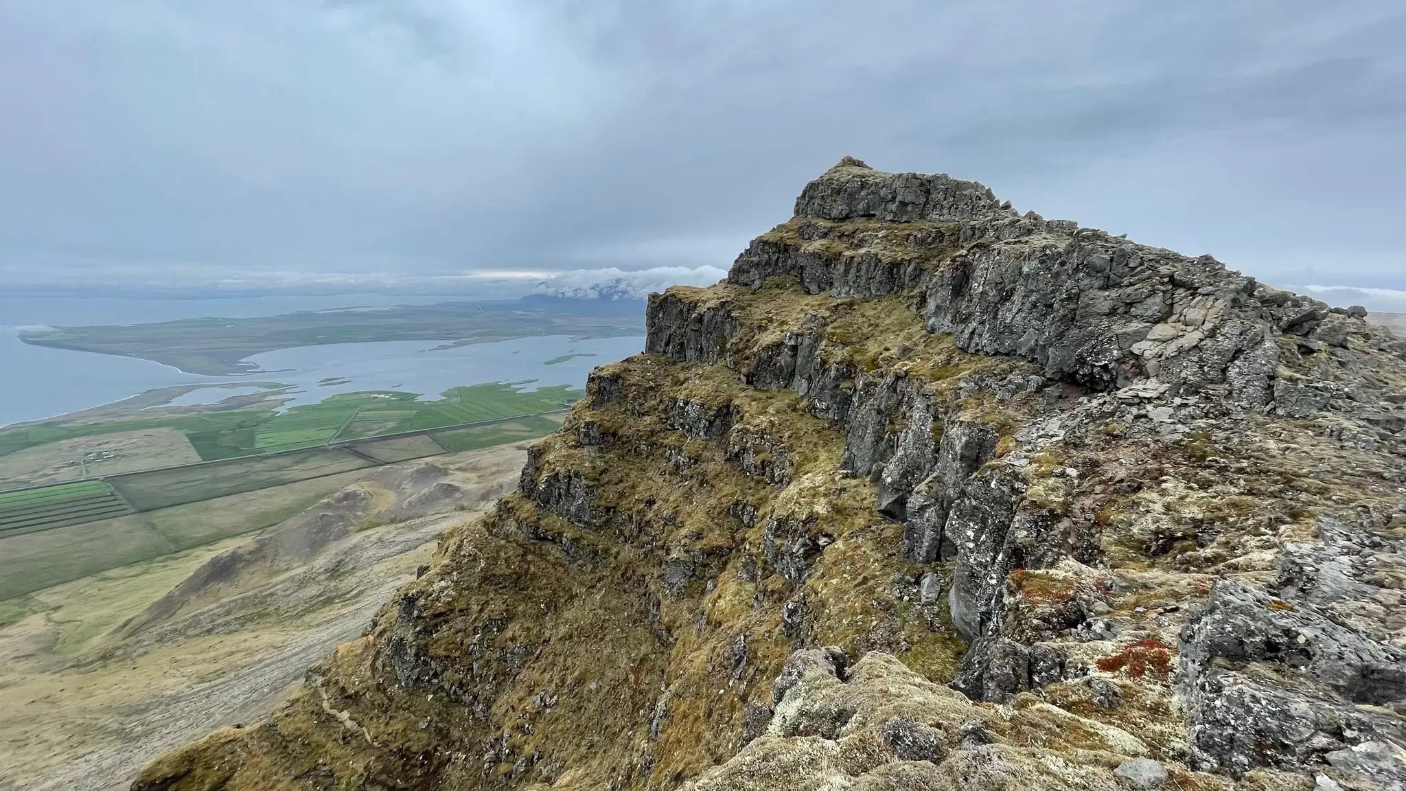
The walk back from Geirmundartindur tracks the cliff’s edge for the most part, making for a visually exhilarating experience.
There are expansive views of the Faxaflói bay to the north and the Snæfellsnes peninsula beyond. Several ledges allow for unique (albeit somewhat dangerous) observation points.
On the south side, the other ridge of Akrafjall is dwarfed by the Esja range beyond.
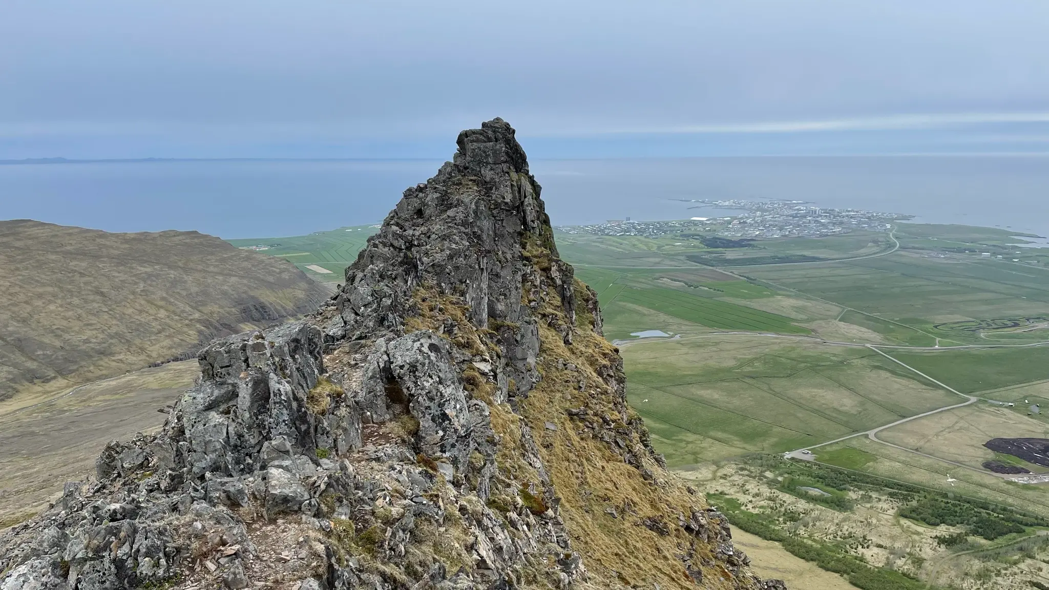
The now obvious path leaves the ridge and veers left to bypass a prominent peak at 12.3km.
Continue descending along the north west ridge until the 13.8km mark, then turn right (north-west) and descend over the rock belt into the valley and back to the parking area. Take care when descending as the trail is heavily eroded and slippery in parts.