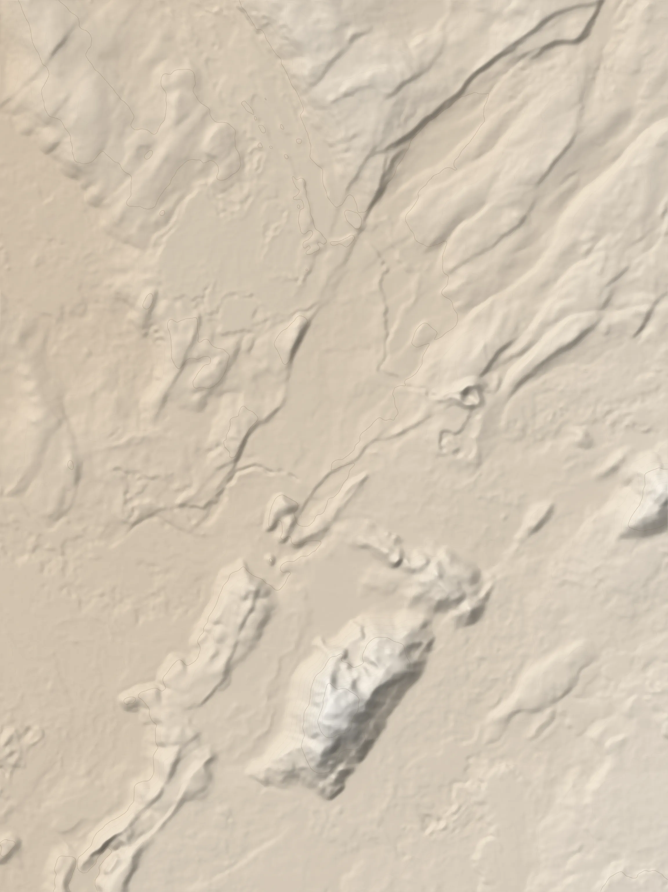
The route
Búrfell and Helgafell are two fantastic hills near Reykjavík. Búrfell is a small extinct volcano crater featuring a bevy of interesting igneous rocks whereas Helgafell is a soil-free rock mound with breathtaking views. Given their proximity to the capital, they are understandably popular spots with the locals, especially on weekends. They can be hiked individually or you can link them in a half-day outing, which is described here.
There are multiple starting points for this walk. The one recommended here starts 3.3km from the start of the Heiðmörk road, from a parking lot near where the road switches to gravel (as of 2023) and turns NE. From the parking area head SE along a gravel path. In 300m use the staircase to descend into a depression. The area is named Búrfellgjá - „Búrfell fissure”. In spite of what its name might suggest it was not formed due to an earthquake. Rather, you are now entering a 3km long lava channel through which molten lava would have flowed some eight thousand years ago. You will follow the channel all the way to the crater.
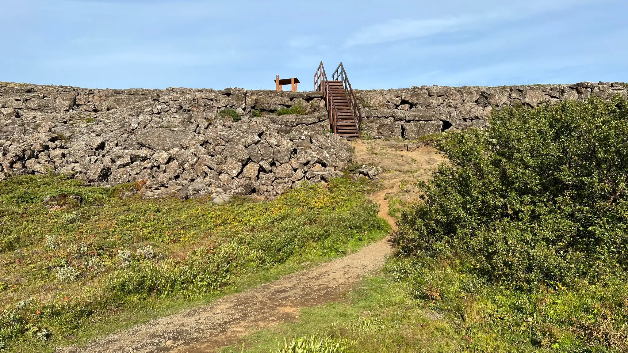
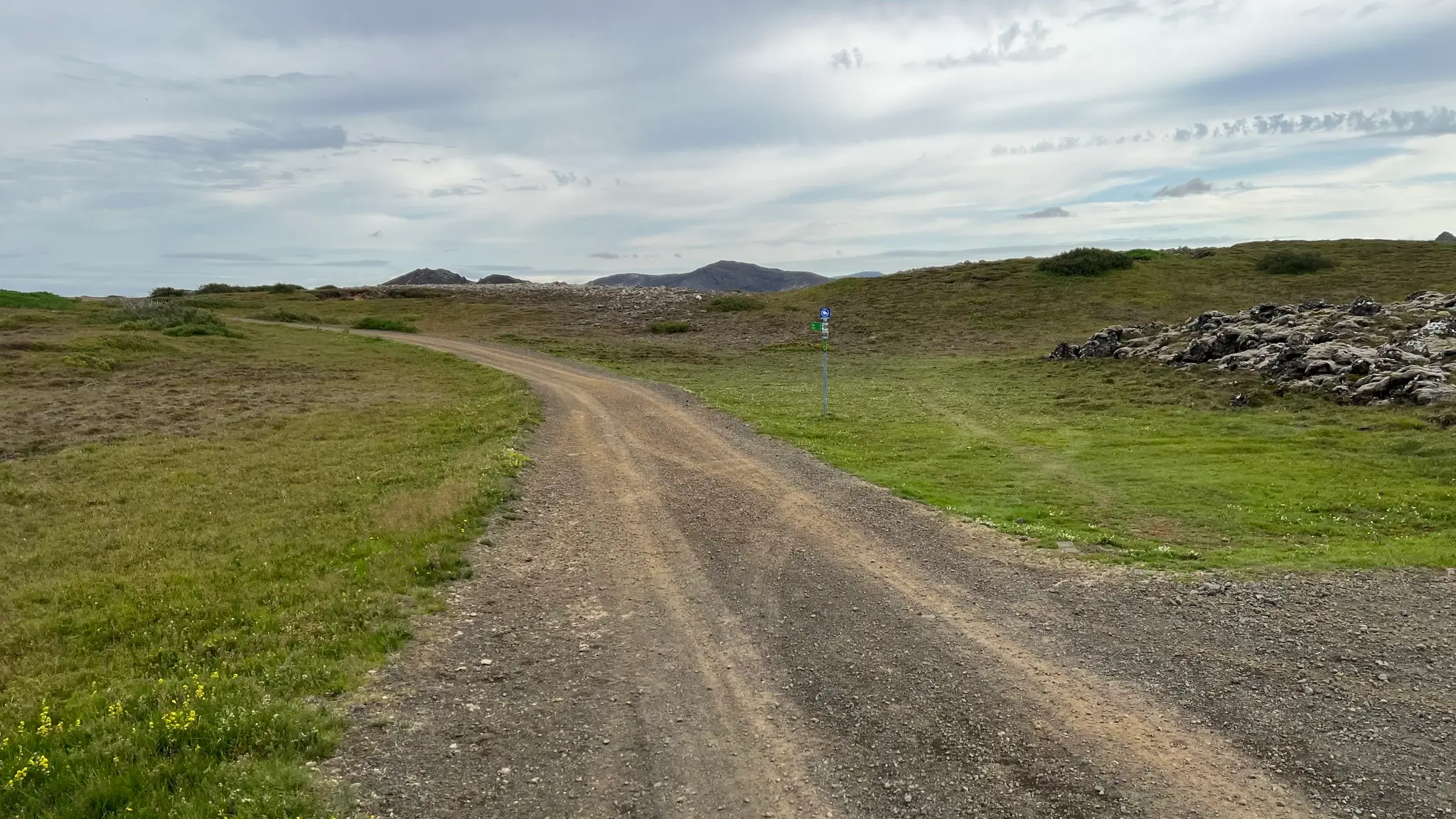
After descending into the lava channel cross a wider path used for horse riding and continue SE. The gravel path follows the eastern edge of the channel, although an alternate path crosses directly south, near an old abandoned sheep corral (Gjárétt).
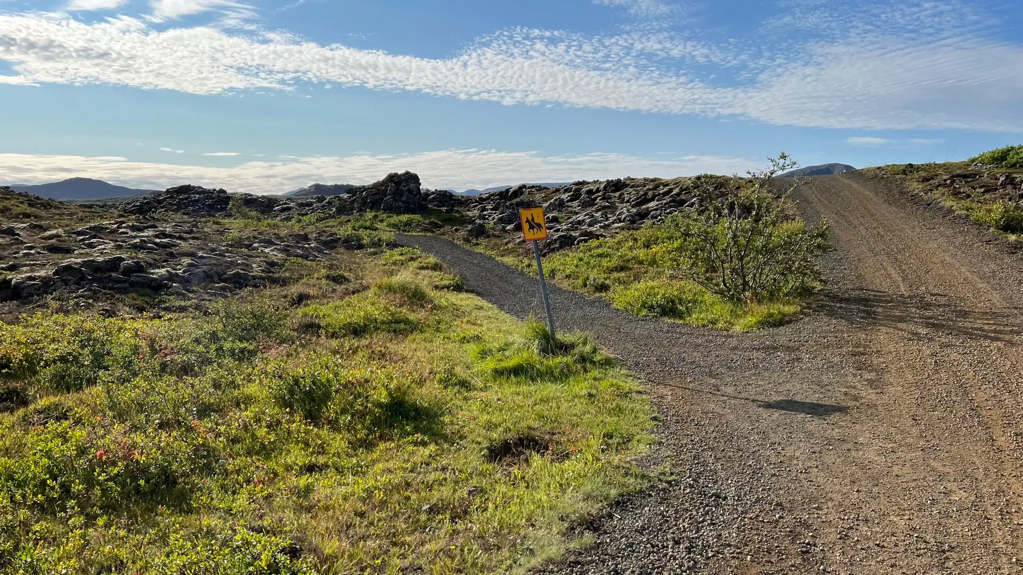
Initially the wide, flat gravel path makes for an easy, albeit somewhat boring walk.
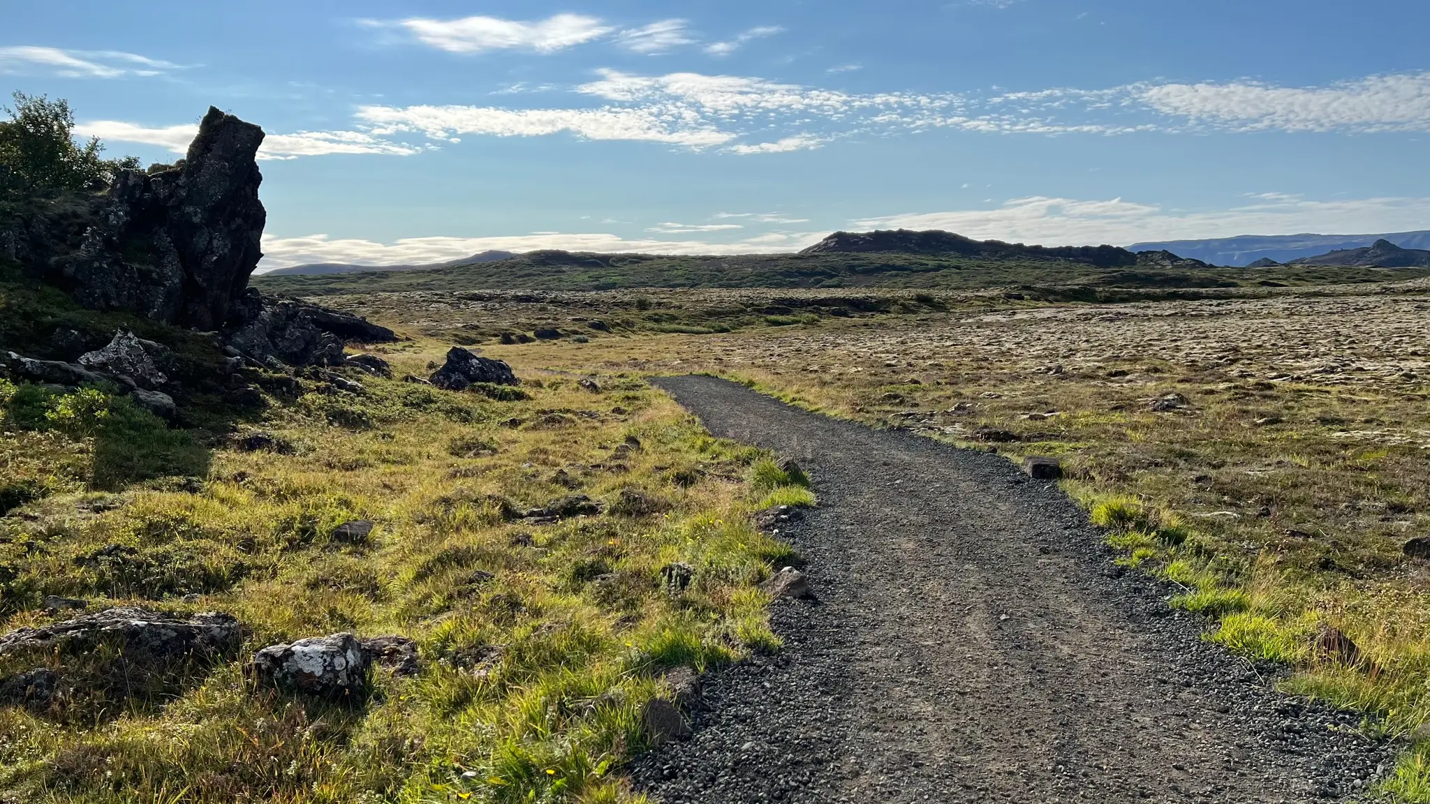
Breaking the monotony are occasional deep fissures in the ground. Use caution when exploring those, especially early in the season when ice and snow might still be present.
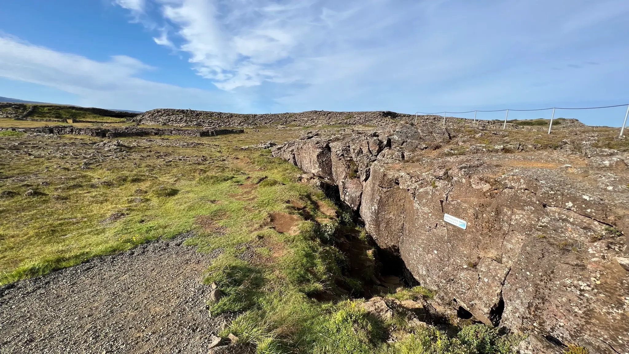
As you progress the channel narrows and its borders become more prominent.
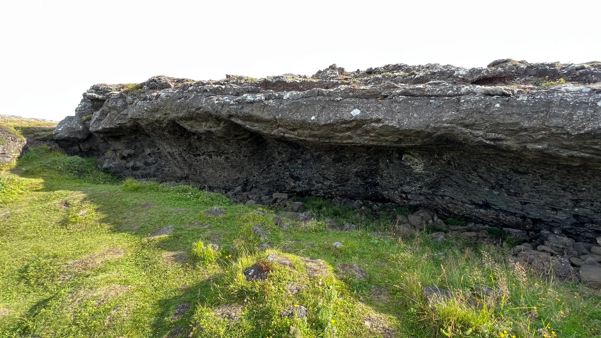
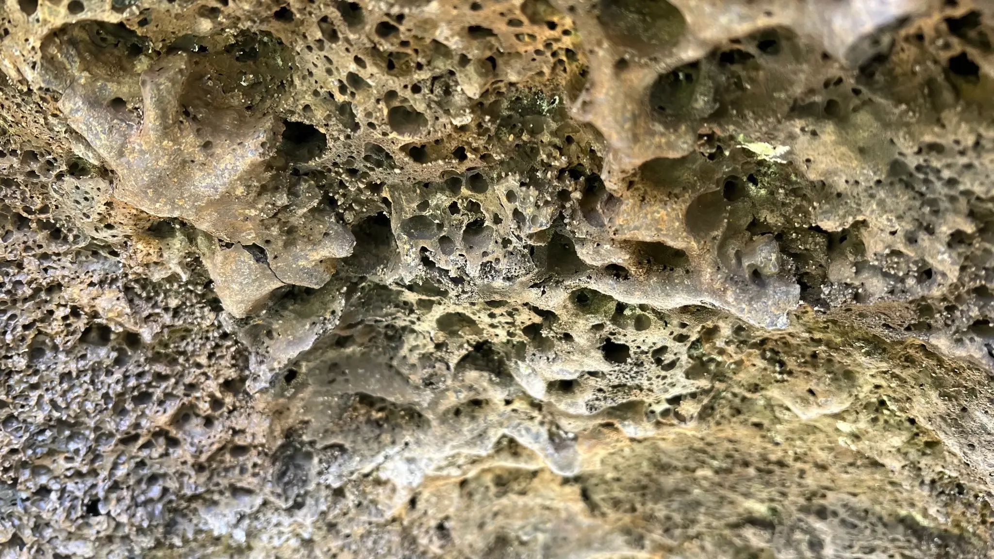
Take the time to explore them. The walls, and especially the curving ceilings, have a vesicular texture, quite common to lava tunnels in Reykjanes.
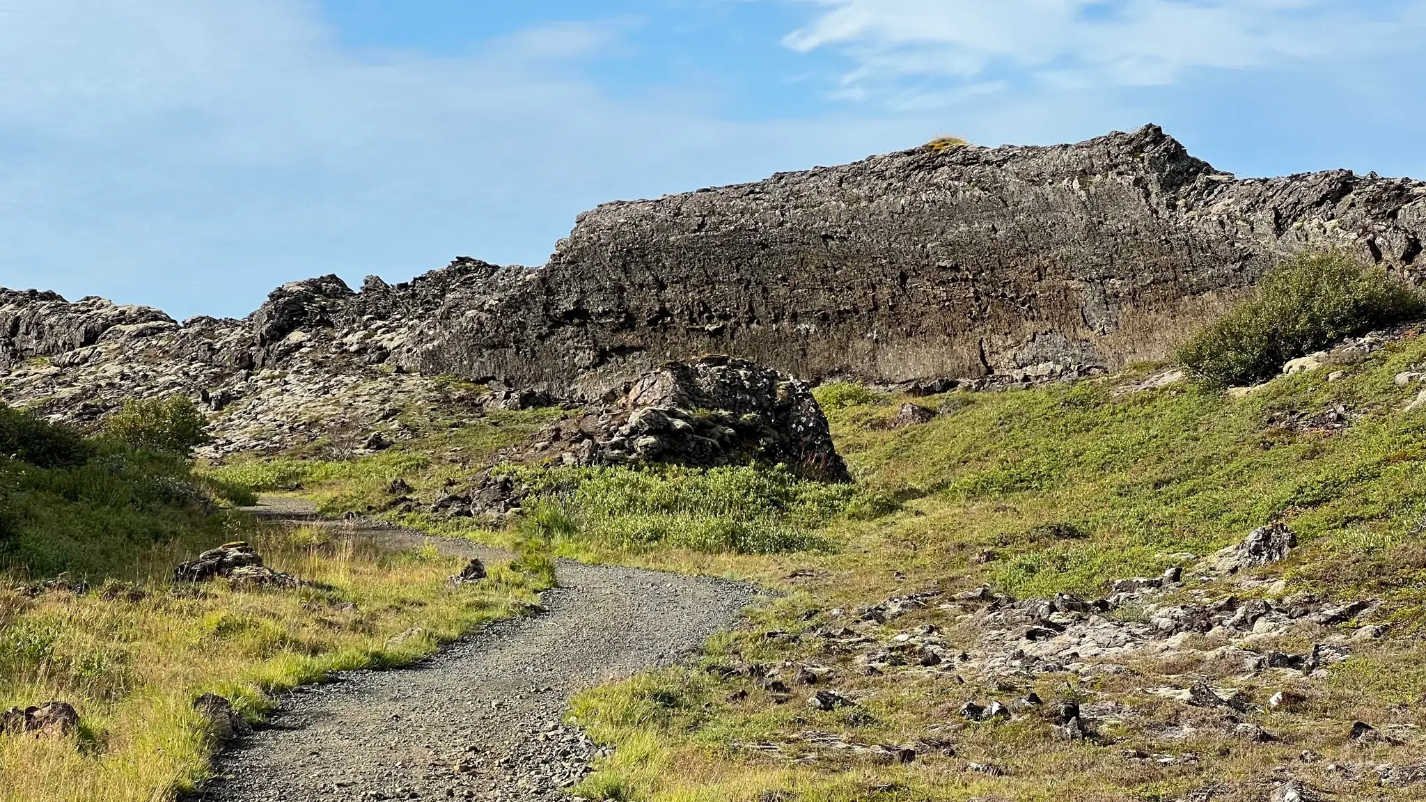
At about 1.8km from the start the path turns east. On the opposite side a tall basalt wall is witness to the awesome force of the lava as it changed direction.
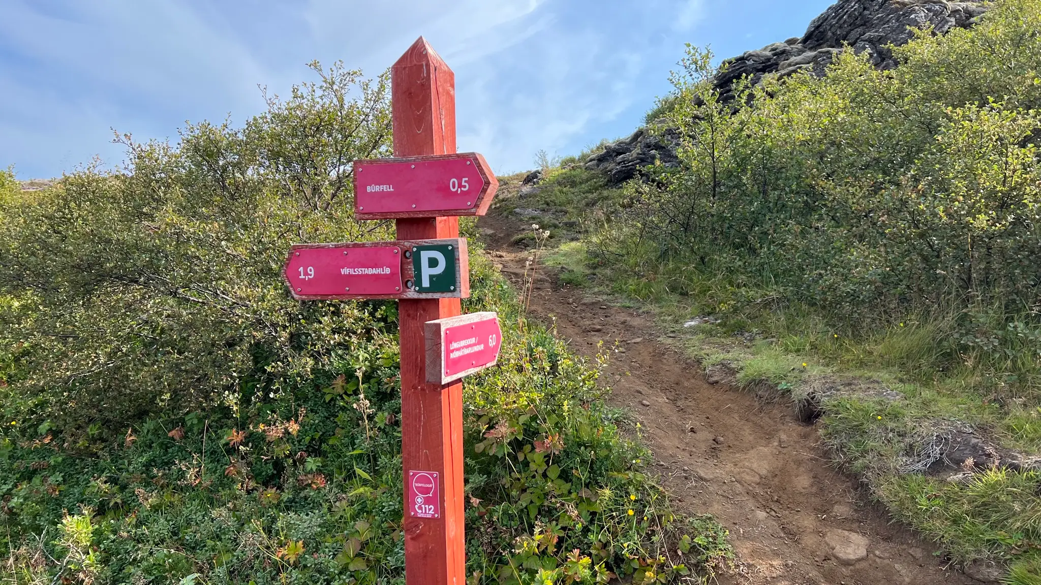
At 2km continue eastward past a well signed intersection. The crater is now only .5km away.
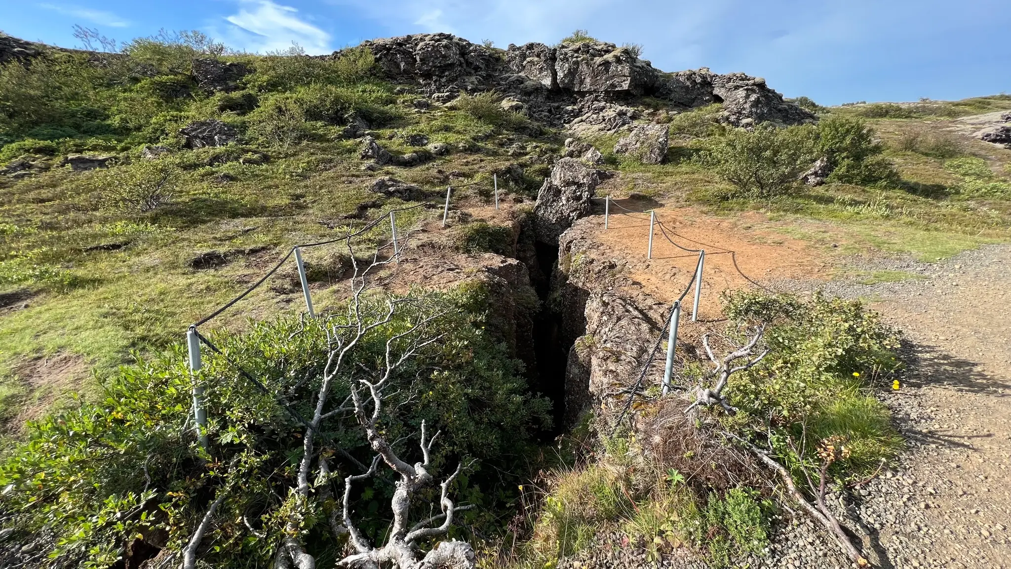
Continue past another deep rift. The area is roped off as it can be dangerous in the winter when covered by snow.
The trail now ascends gently inside the narrowing channel.
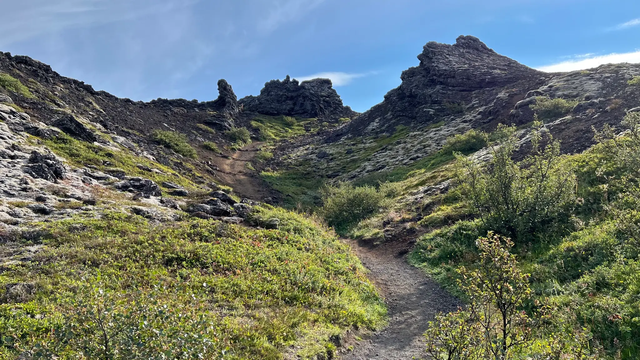
With the channel walls now closing in, walking now where lava would have flowed is a unique experience. For a different perspective you can climb on the northern side for a bird’s eye view of the entire formation.
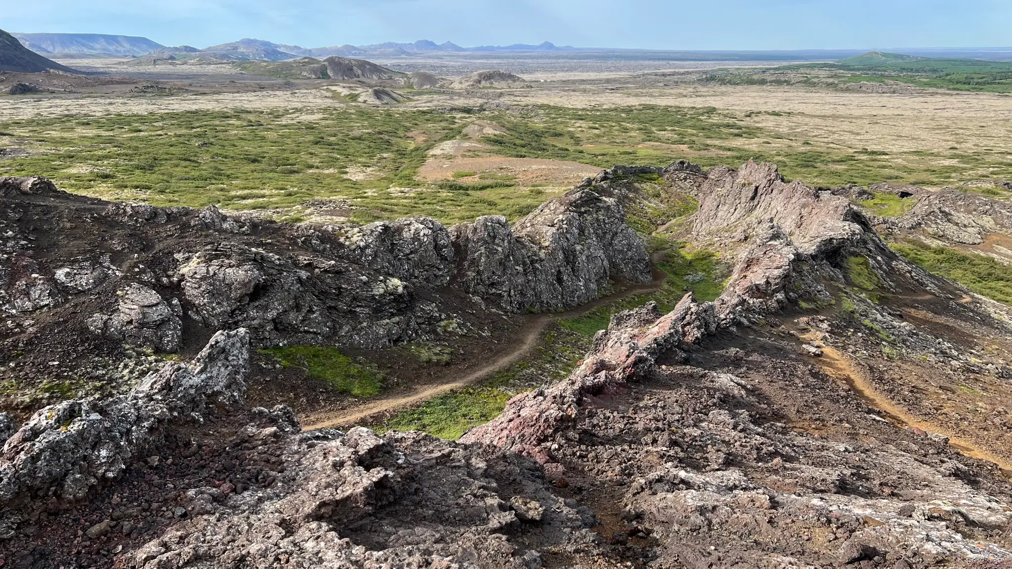
At about 2.4km you will reach the end of the channel and the western wall of the crater.
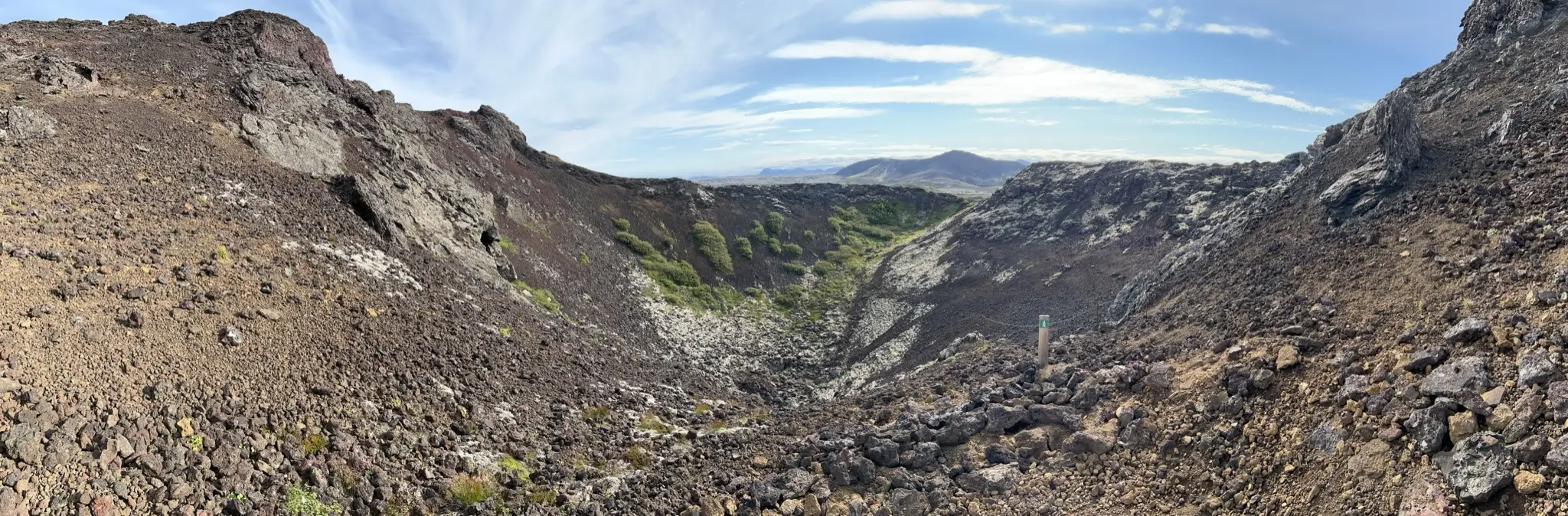
The crater itself is covered with loose scoria of various sizes and colors.
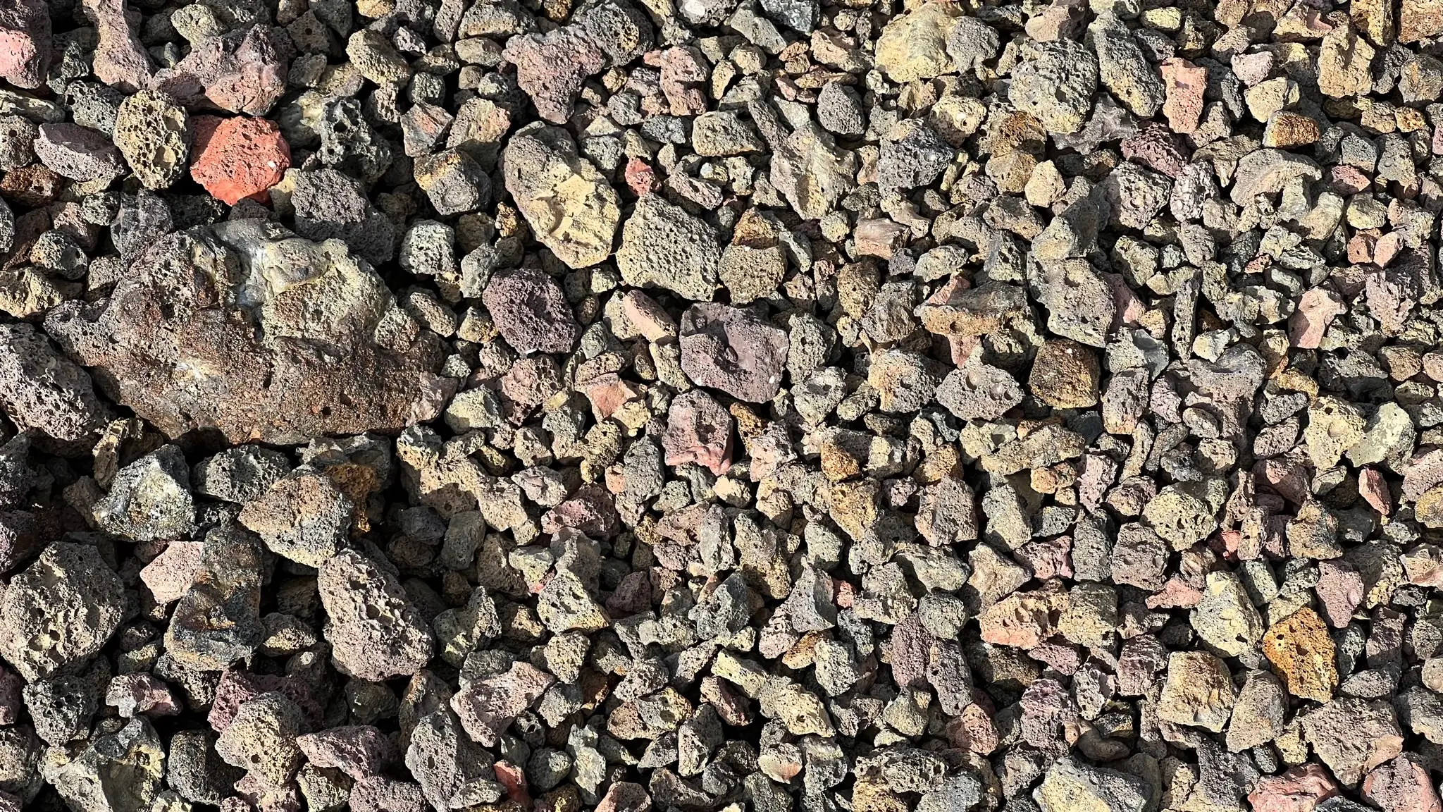
You can circumnavigate the crater in either direction. For this walk start clockwise, opposite a well defined zig-zag leading to the southern edge.
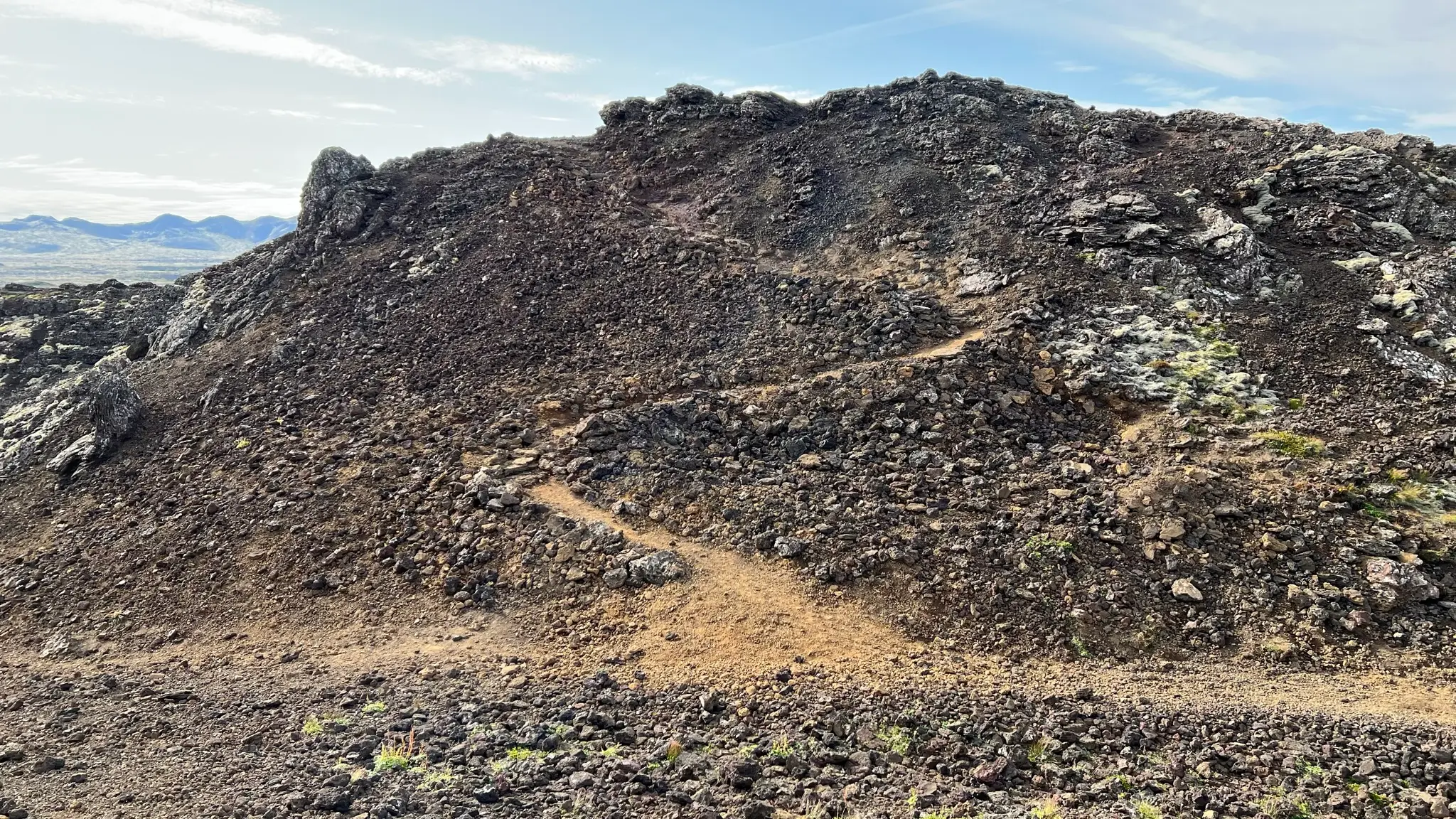
The ascent is a bit steep and the loose volcanic rock makes it harder, but there is a good path to follow. The main attraction here is the pure variety of volcanic rocks.
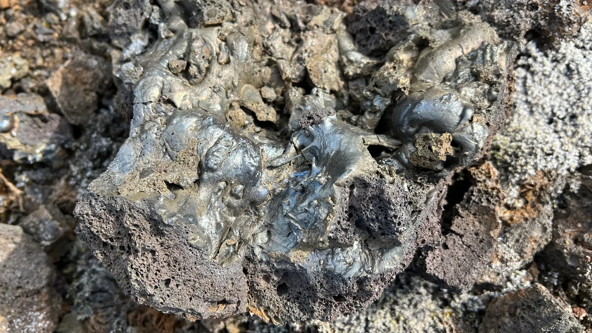
Shiny tachylite fragments, with colors ranging from silver and gold to yellow and pink, still display their molten form.
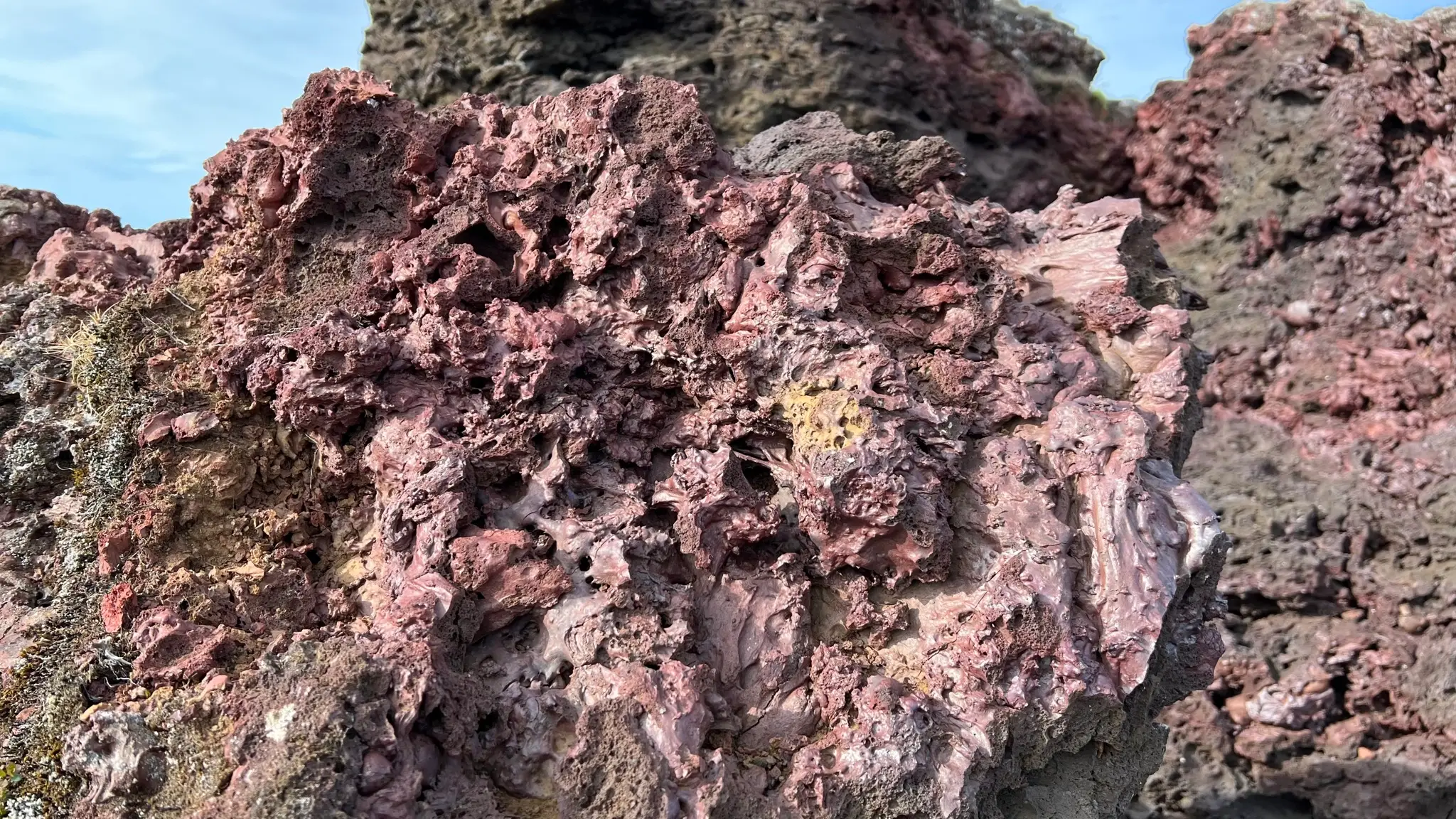
As you descend on the eastern rim, the path gets easier. Beyond the southern edge lies your next destination, Helgafell.
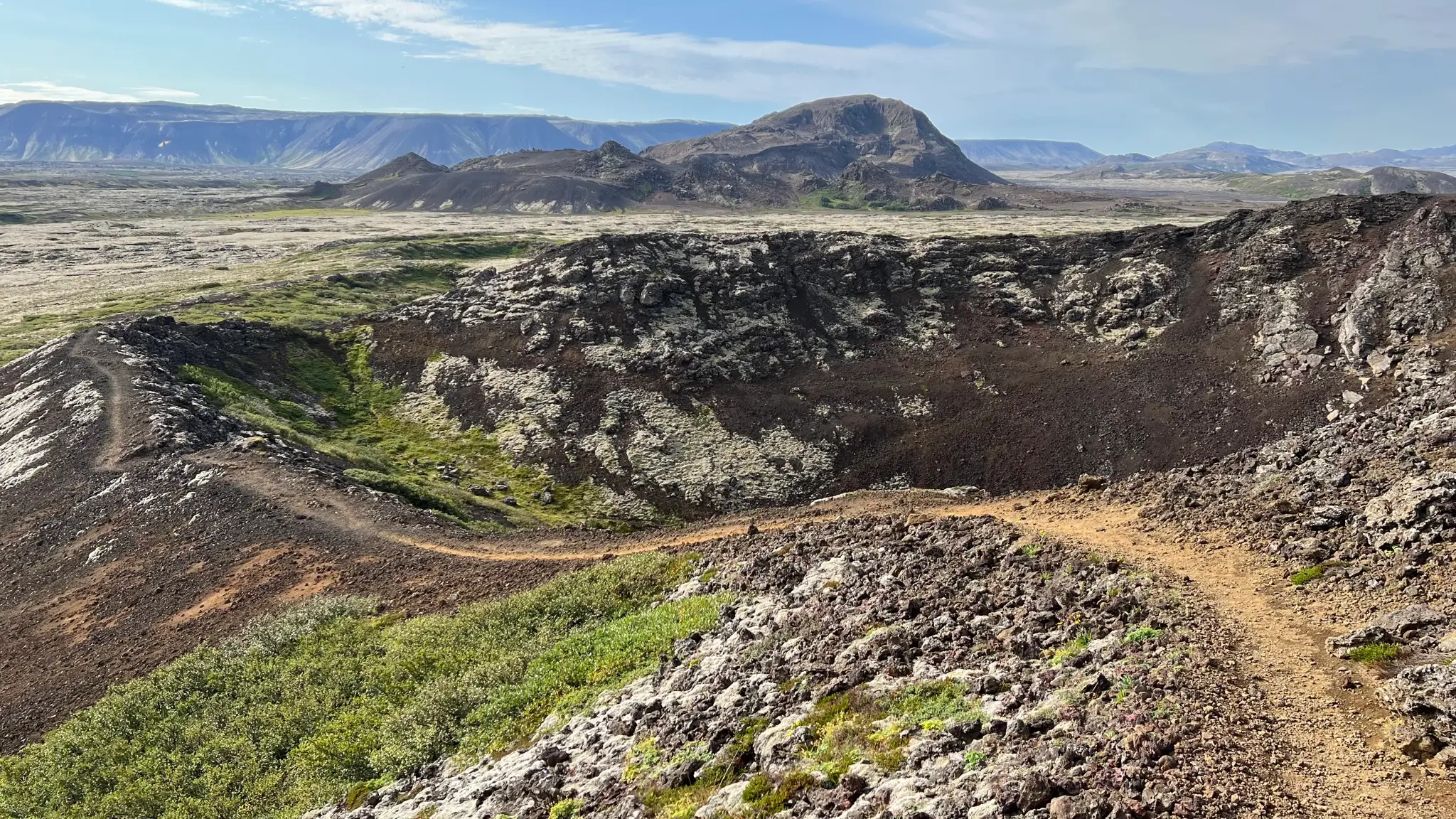
As you approach the western rim do not follow the zigzags back to the start of the channel. Instead take a faint path leading south west across the outer edge. When you encounter a weathered trail sign start making your way south towards Helgafell.
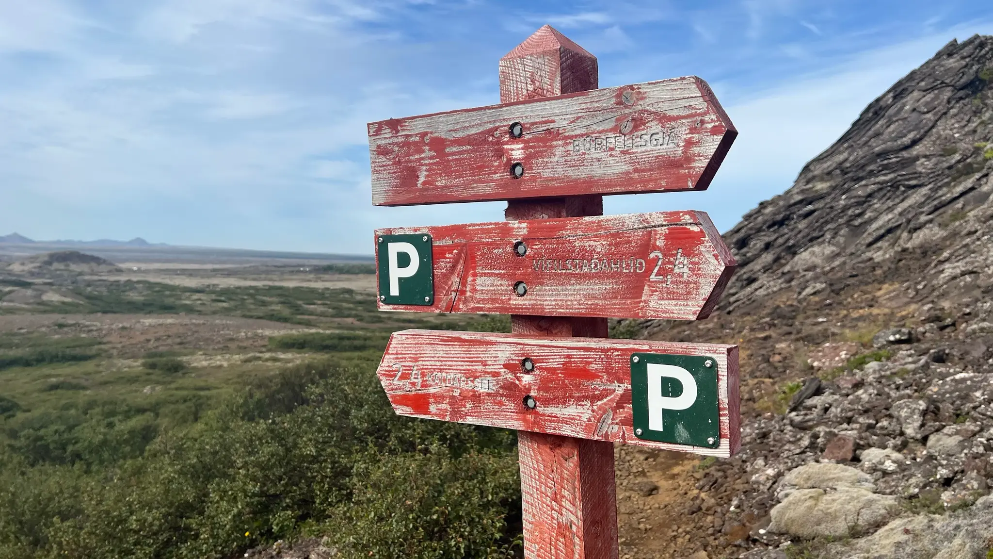
Finding the path will initially be challenging with low brush growing behind Búrfell’s walls making things interesting. Some trail indicators are present although they are scarce.
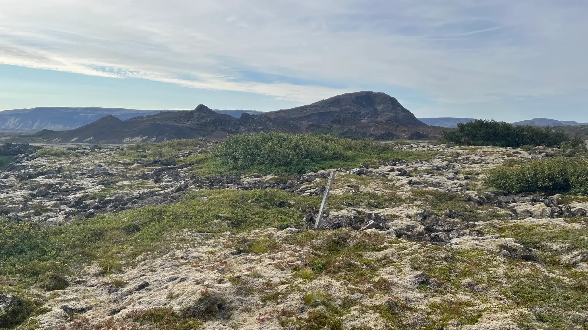
At about 3.5km you will emerge on the rocky edge of another lava channel called Kringlóttagjá.
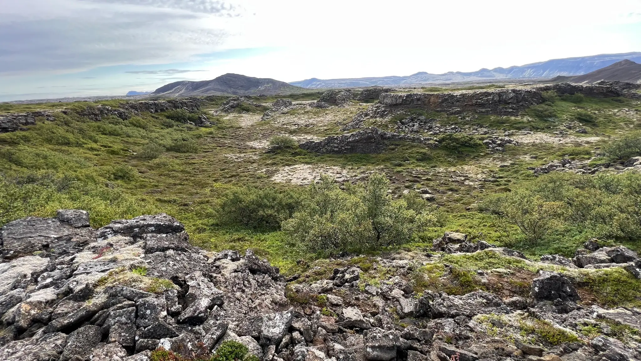
Follow the edge south, then east. Leave the channel wall and head south again when you encounter a cairn.
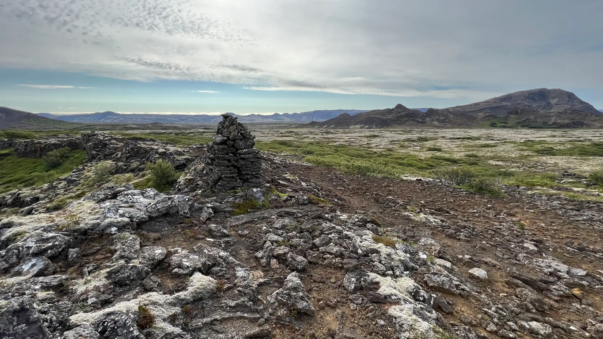
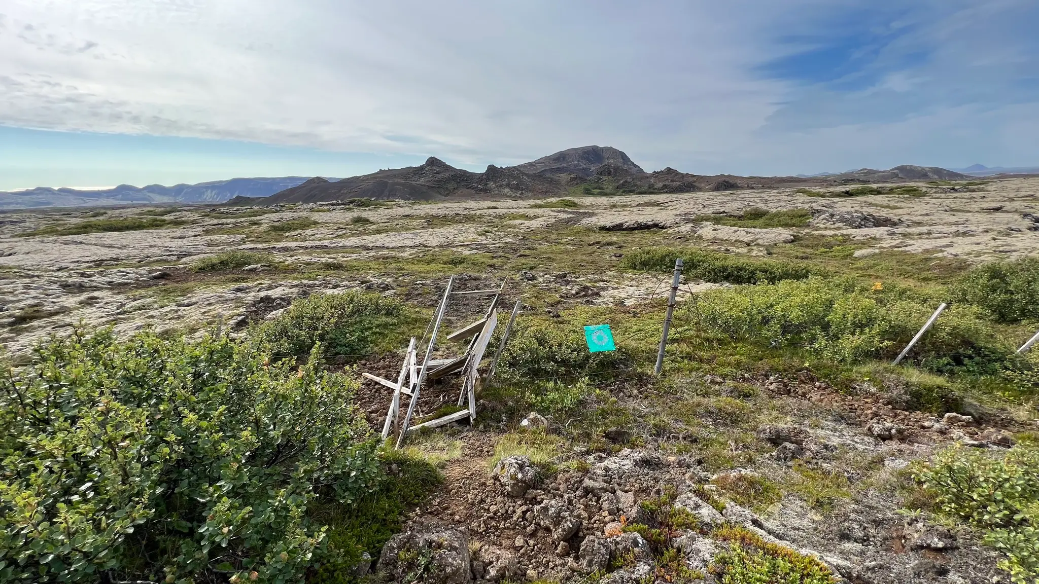
Underfoot the low brush is interspersed with moss and volcanic rock. At about 4km continue past a disintegrating fence following the increasingly obvious path towards Helgafell.
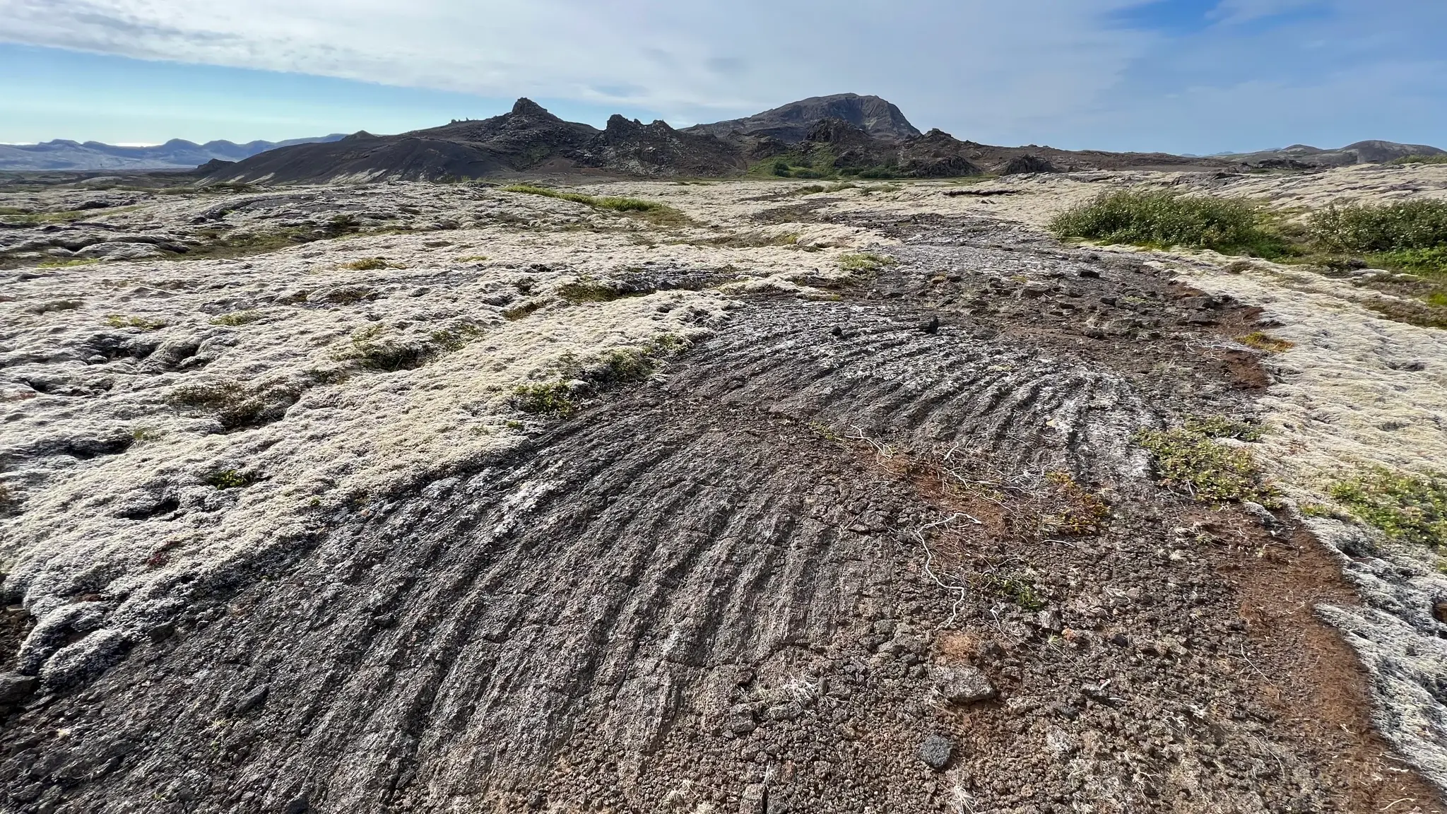
As you approach Helgafell the path takes advantage of an area where the ancient lava flows have not been covered by moss. The creases in the rock bed betray the direction of the molten rock’s flow.
At 4.6km you will emerge from the lava field at the edge of a minor range lying in front of Helgafell. Turn westward for .5km to go around it. At approximately 5km from the start head south. At 5.7km you will reach a 5-way intersection with various paths leading to and away from Helgafell. Take the one leading SE, straight across the vegetation-free rock bed. Well spaced cairns show the way.
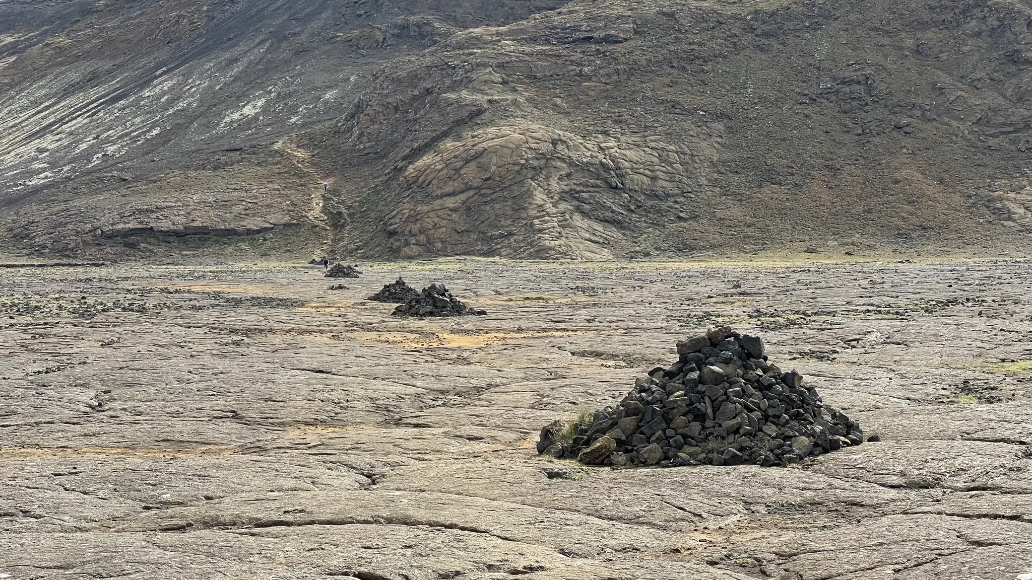
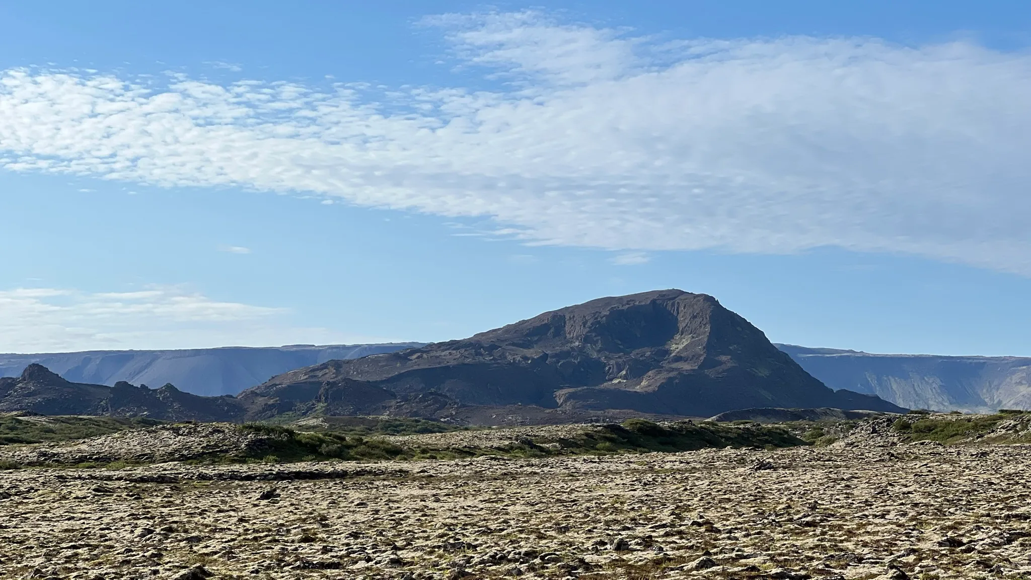
Ahead of you, Helgafell looks like a big, bald hyaloclastite monolith, with very little soil or vegetation on it. The hill was formed by a single eruption under an ice sheet during the last ice age. At about 6.2km start ascending via a well trodden path.
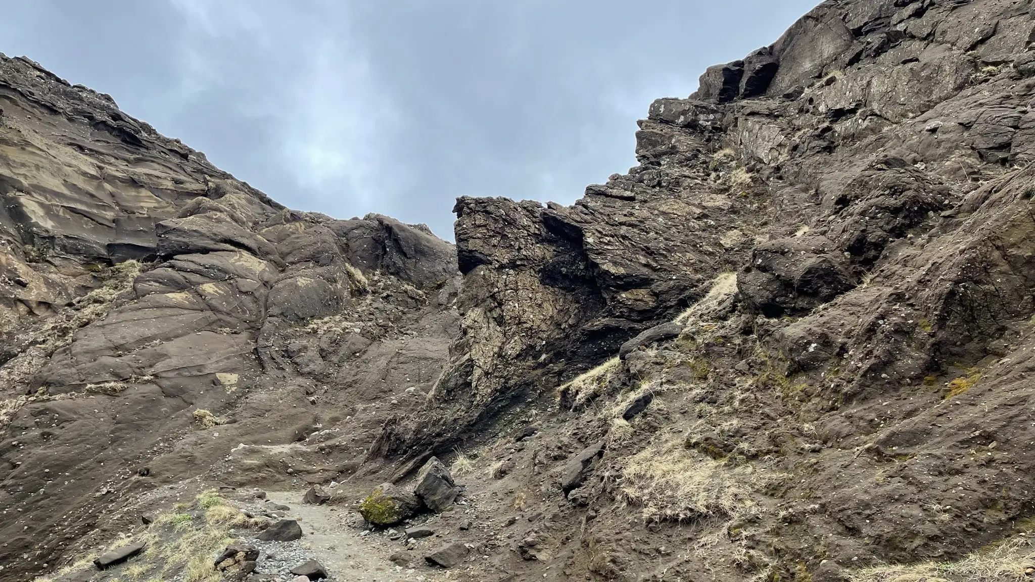
The initial ascent is manageable, albeit rocky. One section at 6.4km will require a short scramble out of a narrow gully.
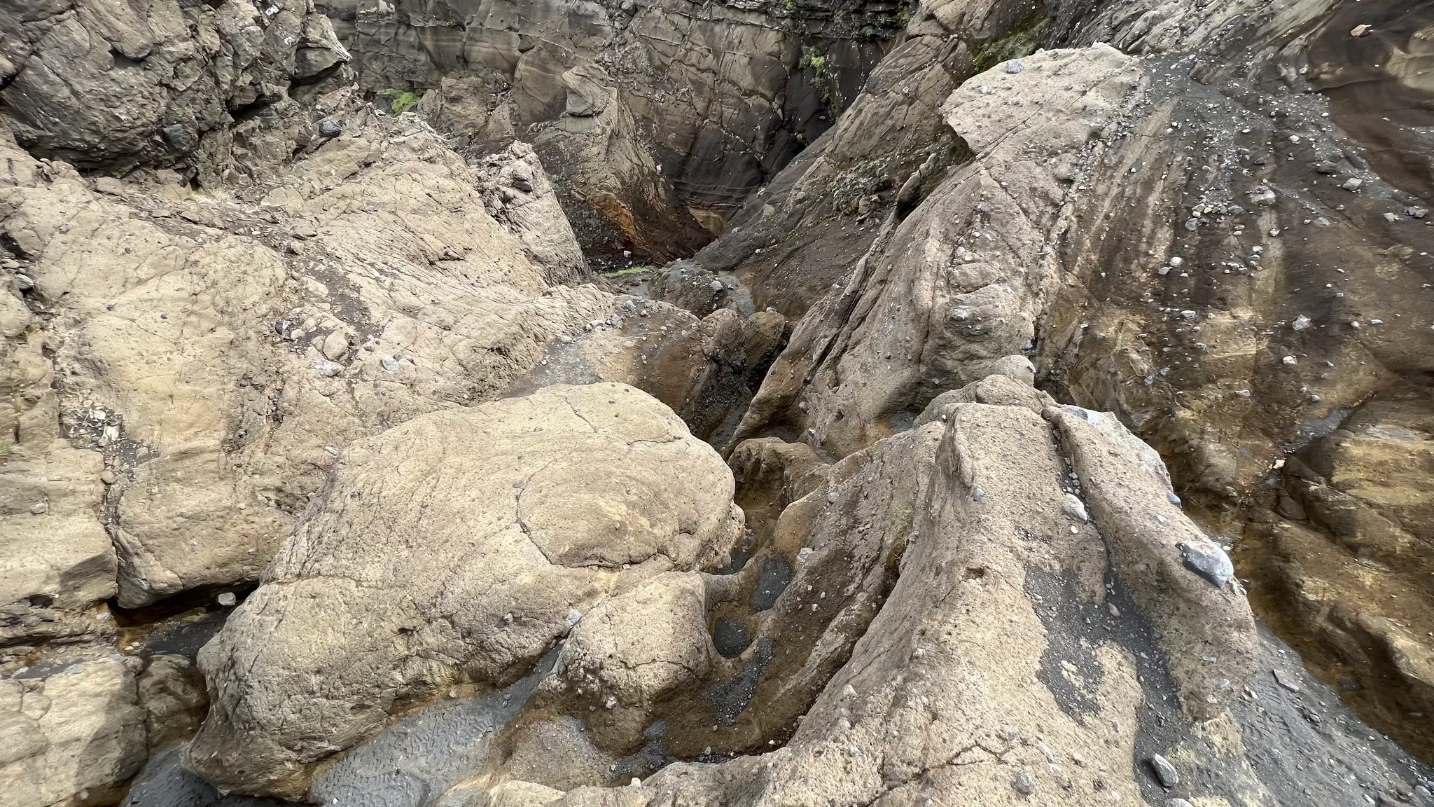
Above the gully the grade mellows as the path now angles SE into an inner depression.
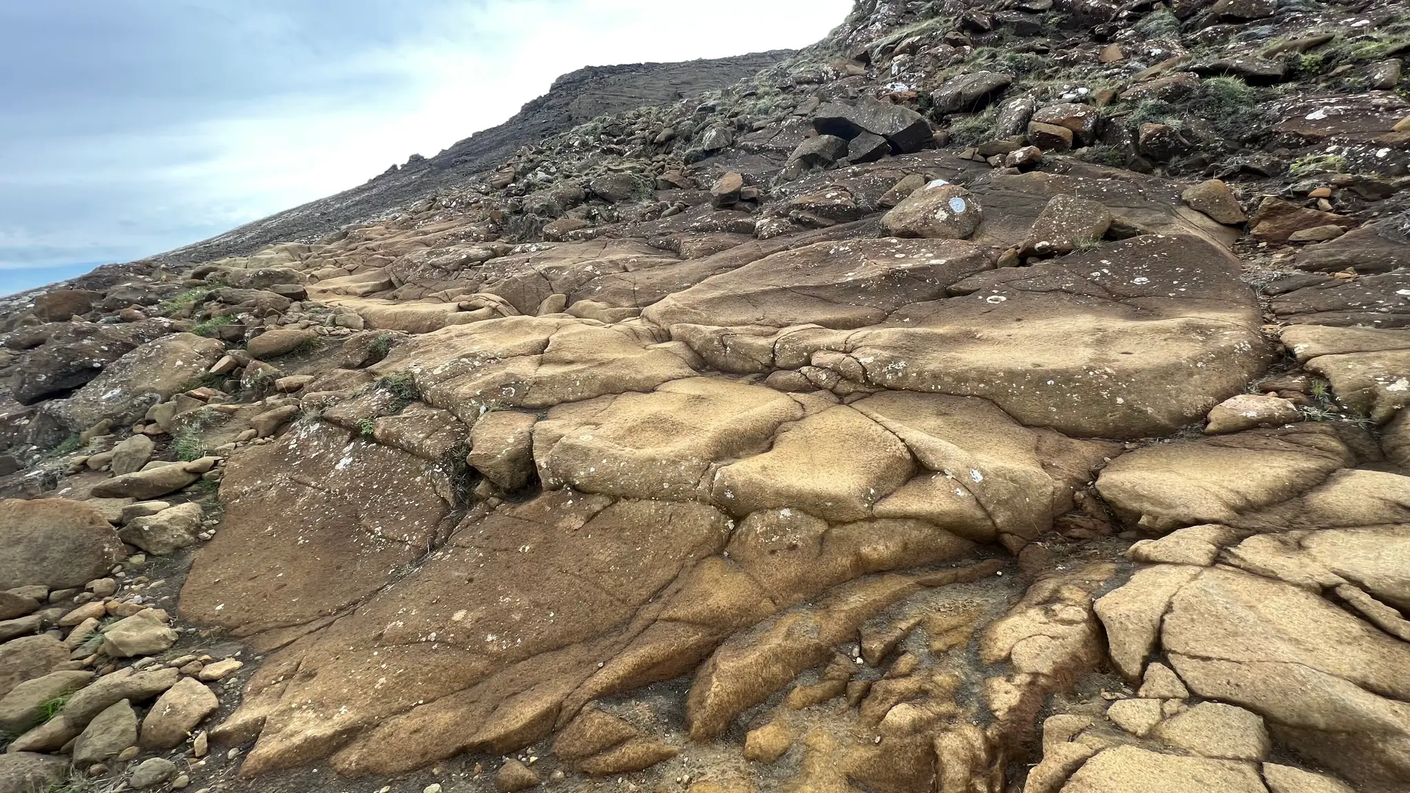
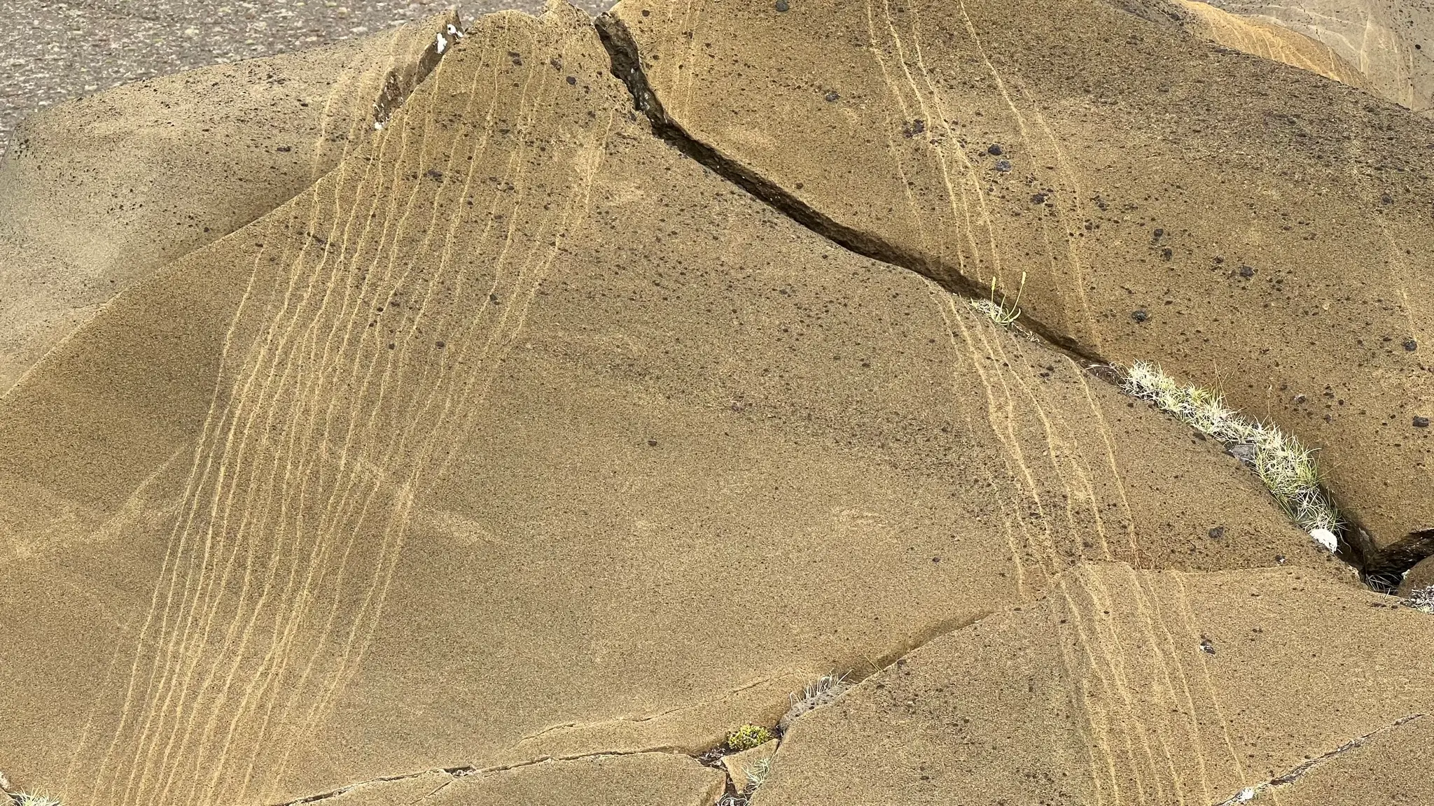
Due to its formation under the ice cap, Helgafell does not have many pyroclastic fragments like Búrfell. The hyaloclastite basalt is interesting in other ways - with lighter intrusions creating interesting geometric patterns on the exposed rock face which in many places has been smoothed out by the retreating ice.
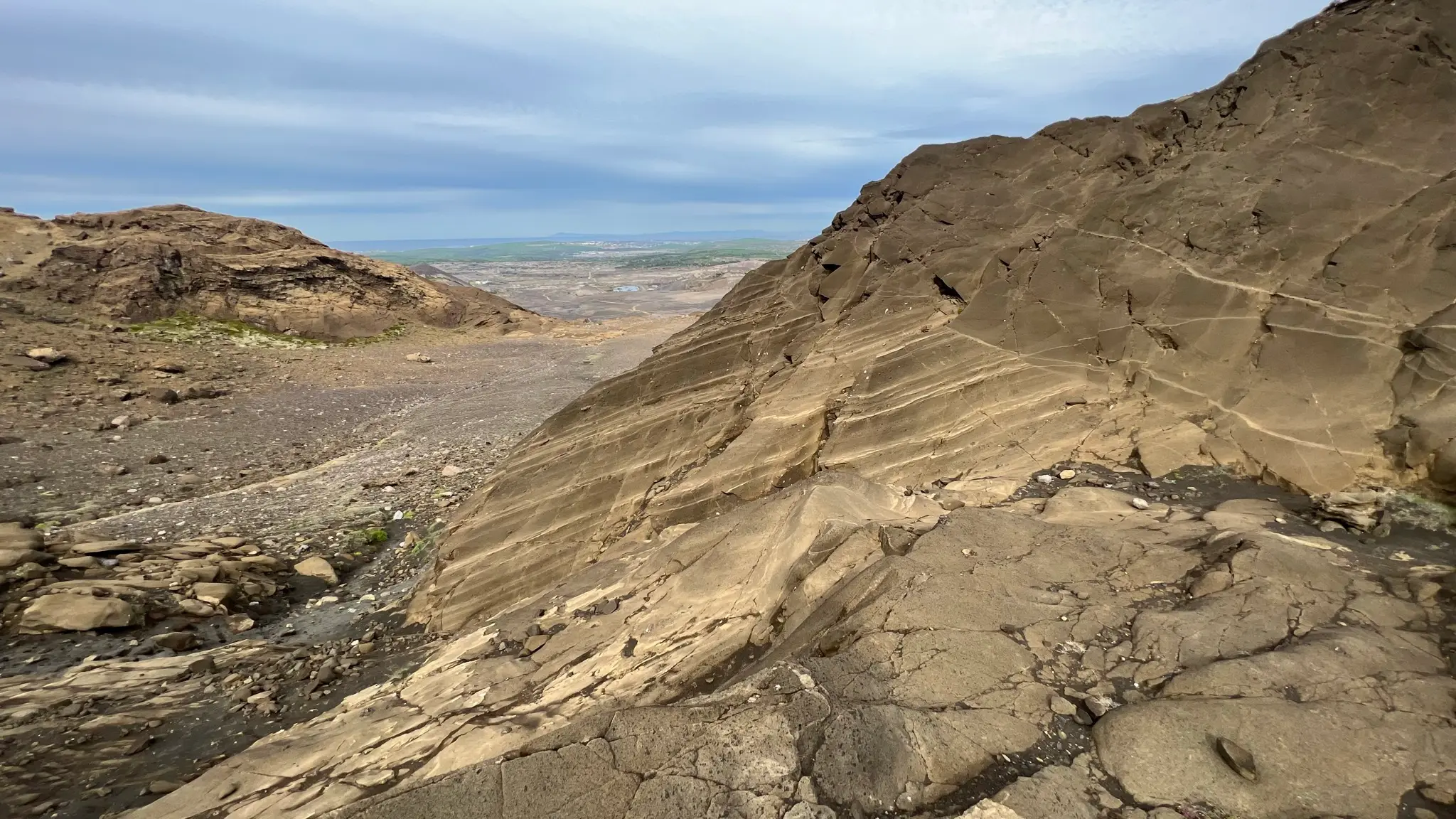
Continue your ascent through the inner valley until reaching the eastern ridge at 6.9km (246m a.s.l.).
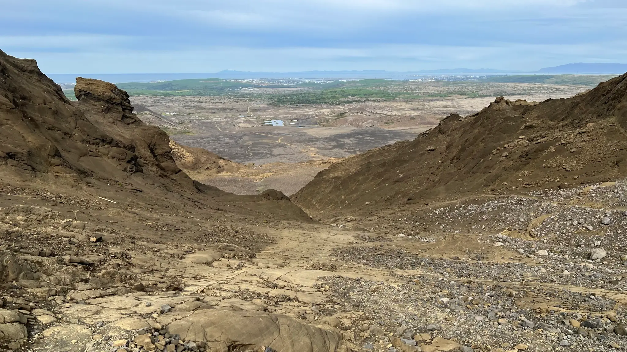
From here continue climbing SW.
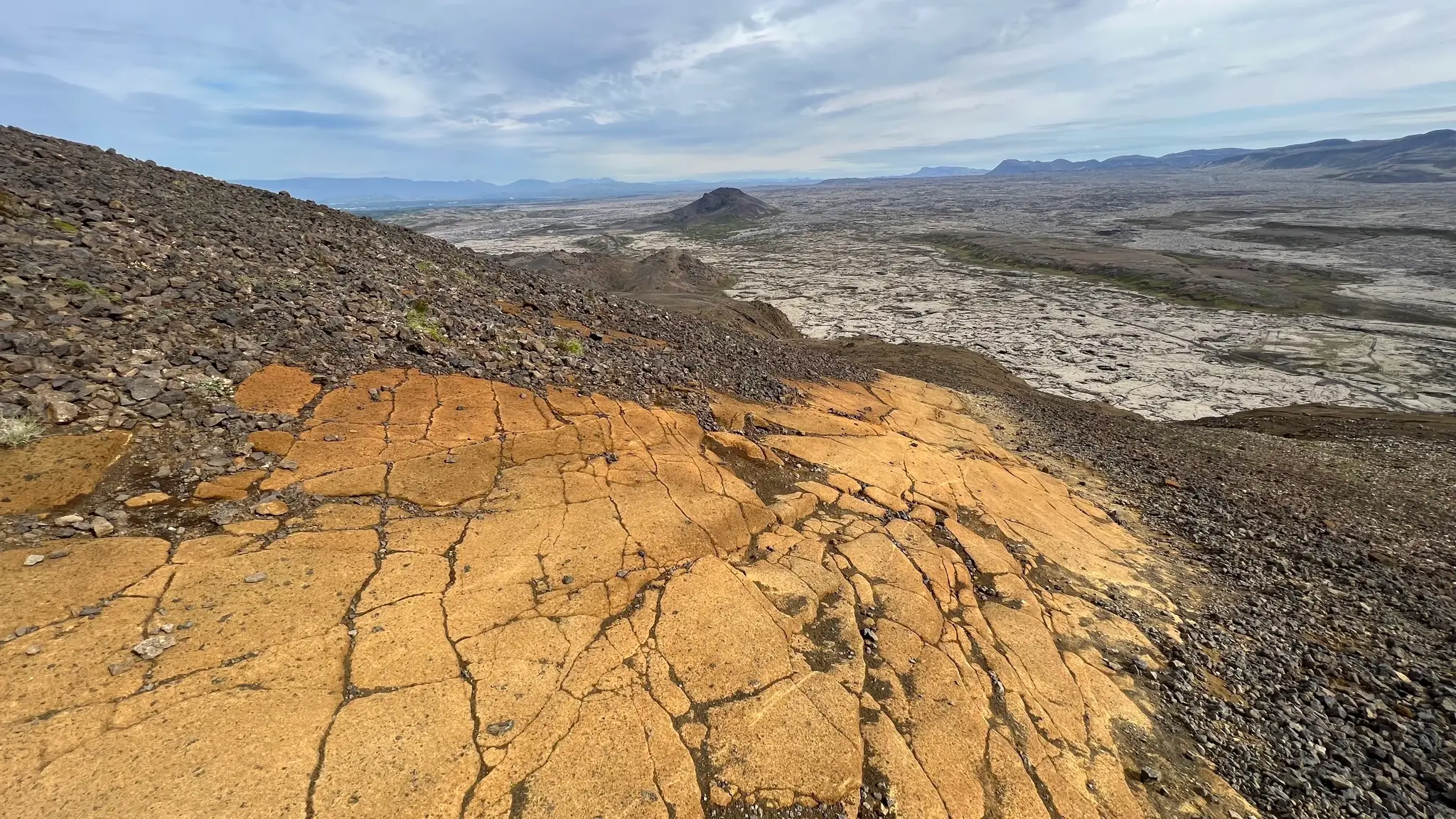
There are no trail indicators but you cannot miss the path as rubble has been cleared from the smooth rock face.
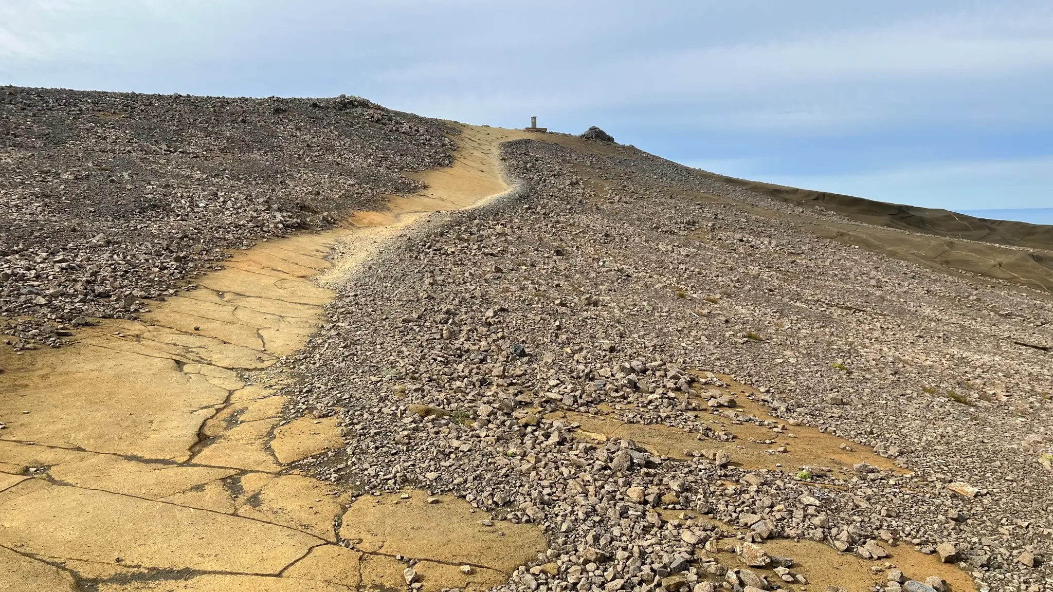
The summit, at 338m above sea level, is marked by a cairn, sun dial and the usual box containing the trail log book.
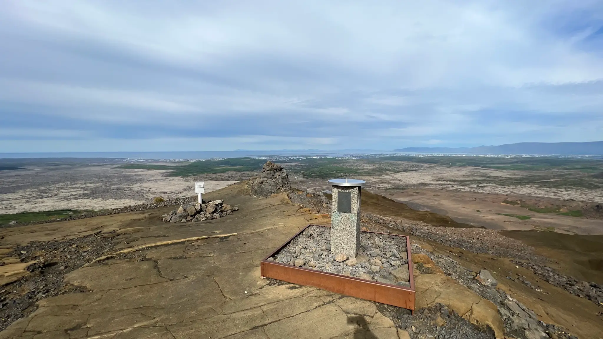
While not very high, Helgafell towers over the encircling area, allowing for far-reaching views. To the north, beyond the city of Reykjavík you will see the entire length of the Esja range.
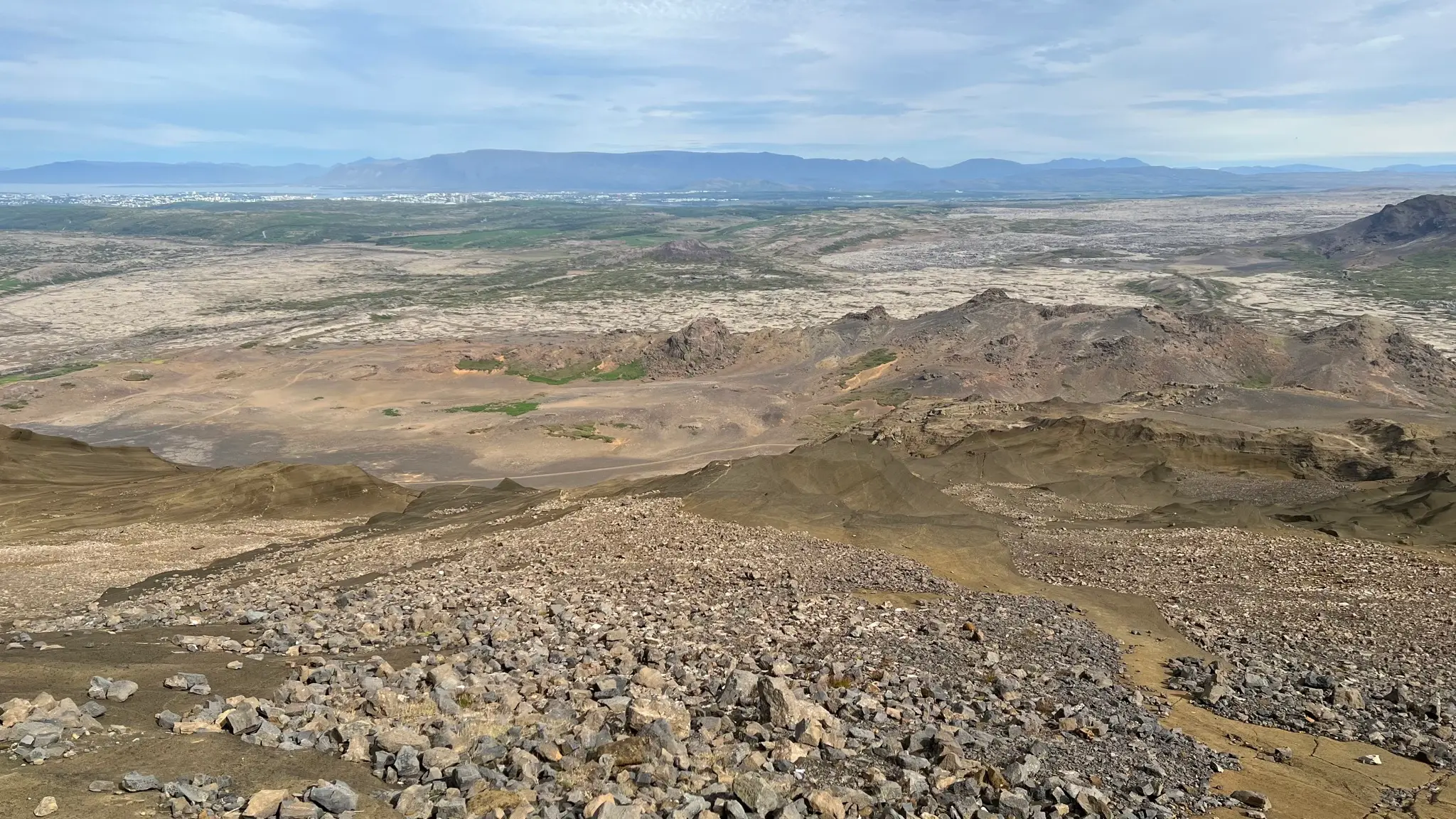
If you have time, explore the southern end of the top plateau where sculpted rock formations guard the ridge. Beyond them, a vast lava field is bordered by the Brennisteinsfjöll range.
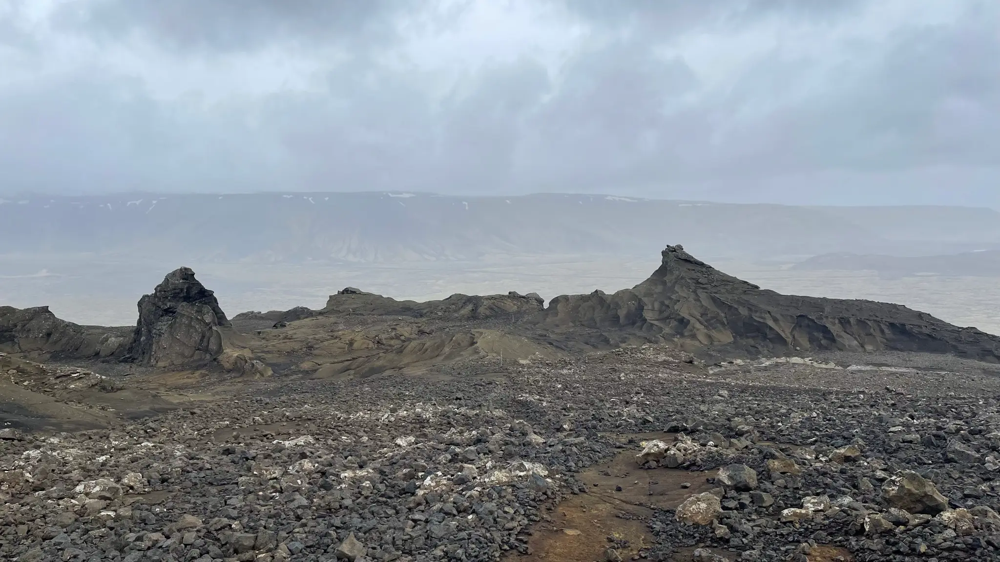
To get off the hill, retrace your steps on the ridge path continuing north past the point where the ascent path joined from the west. The gently descending northern plateau is host to some otherworldly rock formations.
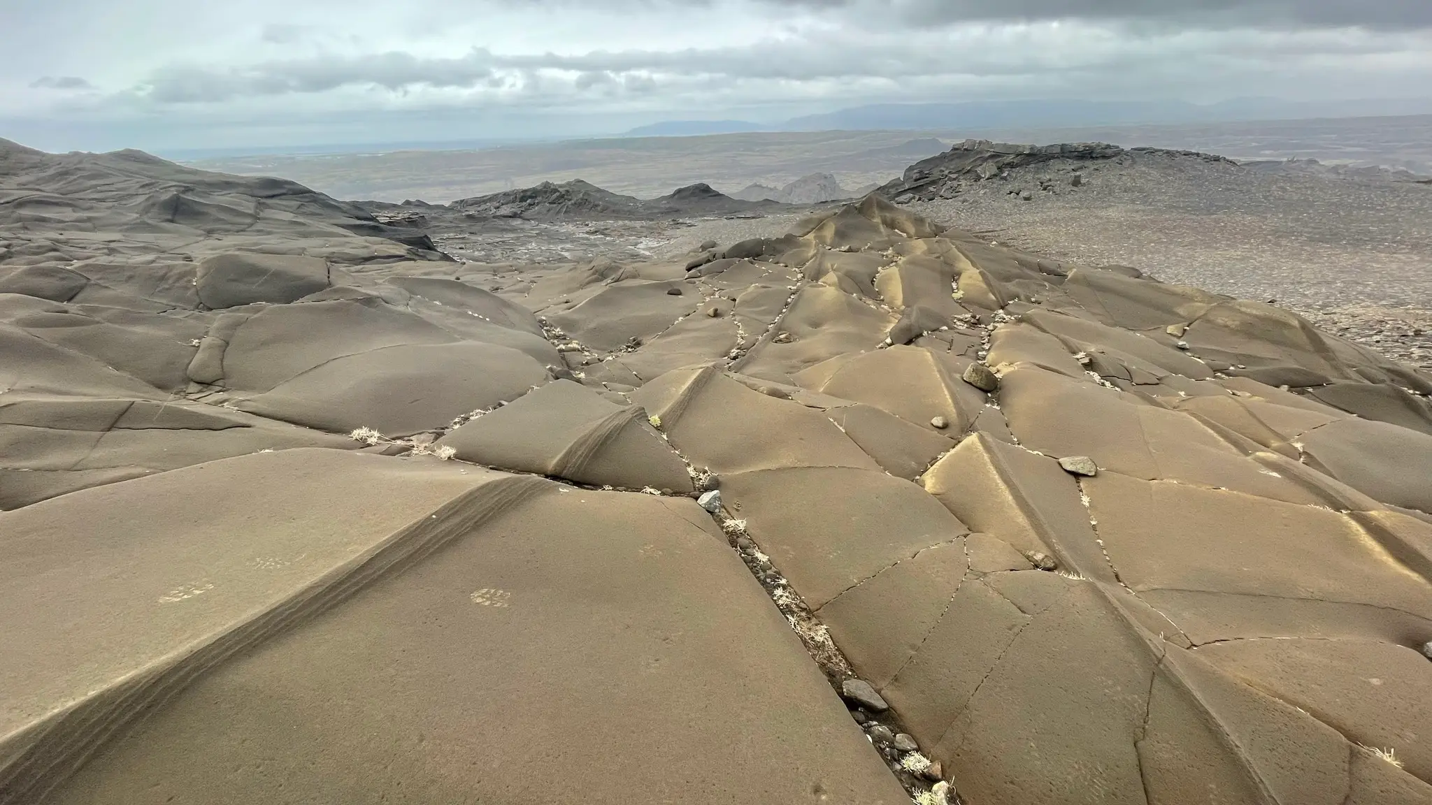
The volcanic rock was ground by the retreating icecap in wavy, strangely geometric patterns.
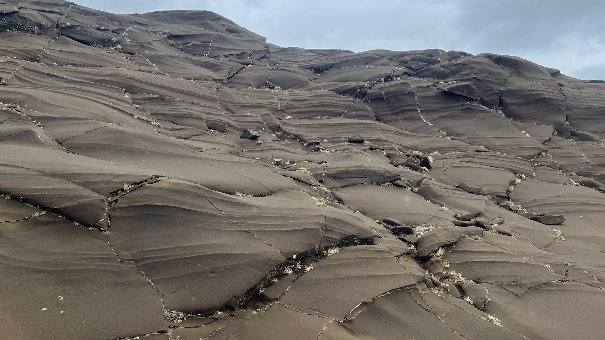
In other spots, fine parallel intrusions visible on the rock face look man-made.
At about the 8km mark the path angles eastward as it descends more steeply across the rocky face before plunging straight down. Take your time across sections with loose scree.
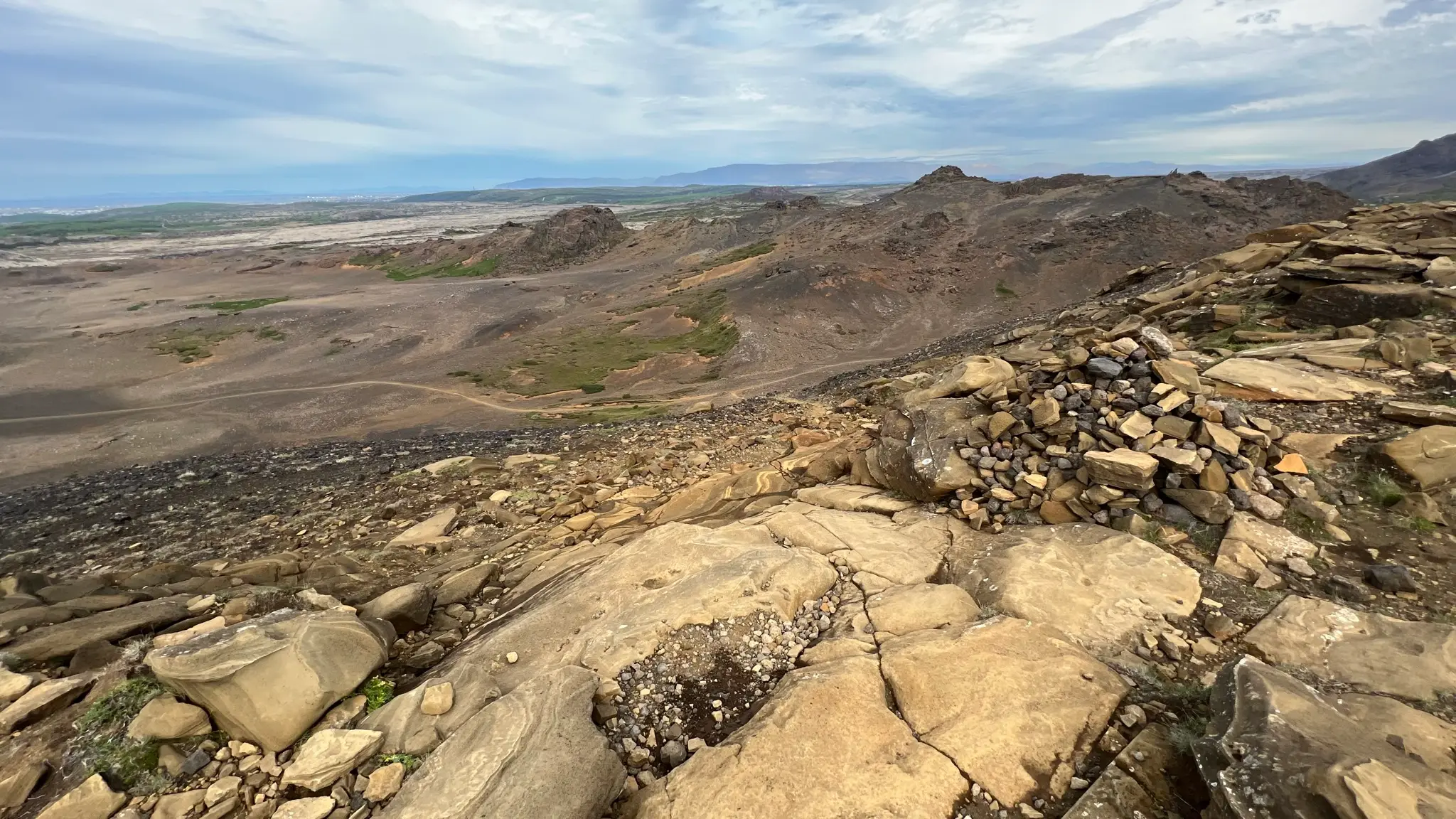
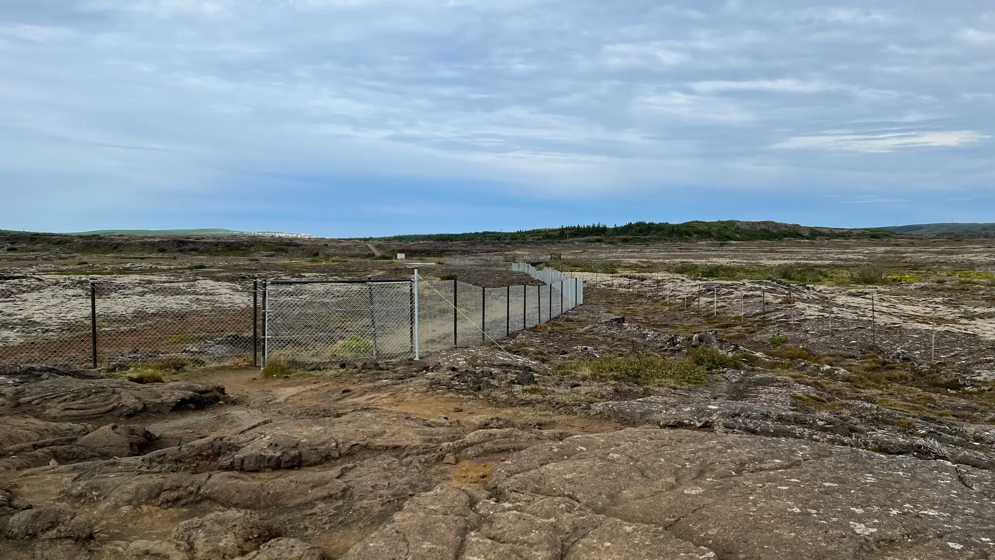
Once back in the valley head east, continuing past the 5-way intersection at 9.2km. At about 9.8km squeeze in between a set of fences protecting the Kaldá reservoir which supplies drinking water to the nearby Reykjavík suburb of Hafnarfjörður.
At 10km cross over the Kaldá stream. A spigot with potable water at one end allows you to replenish your reserves.
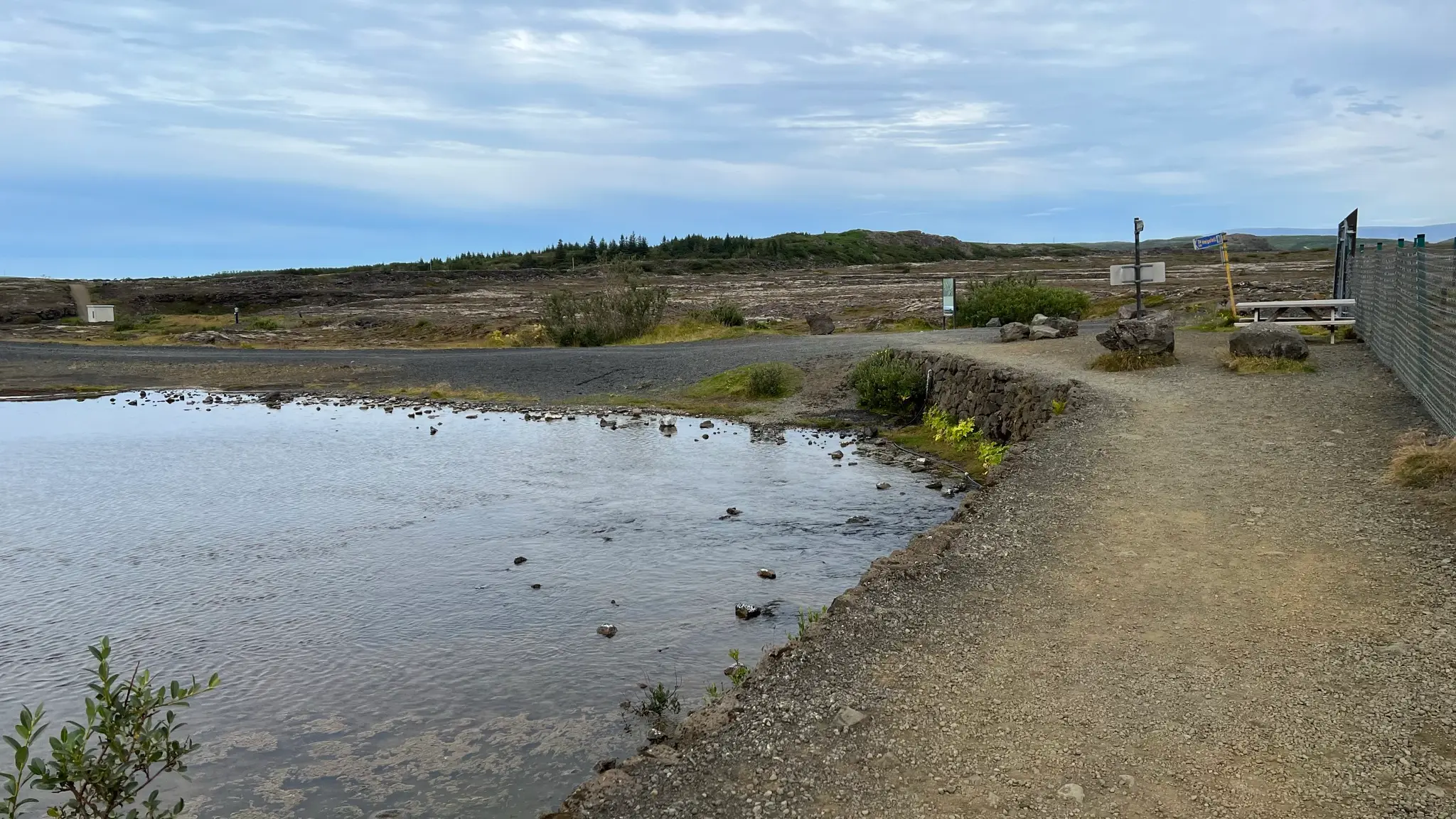
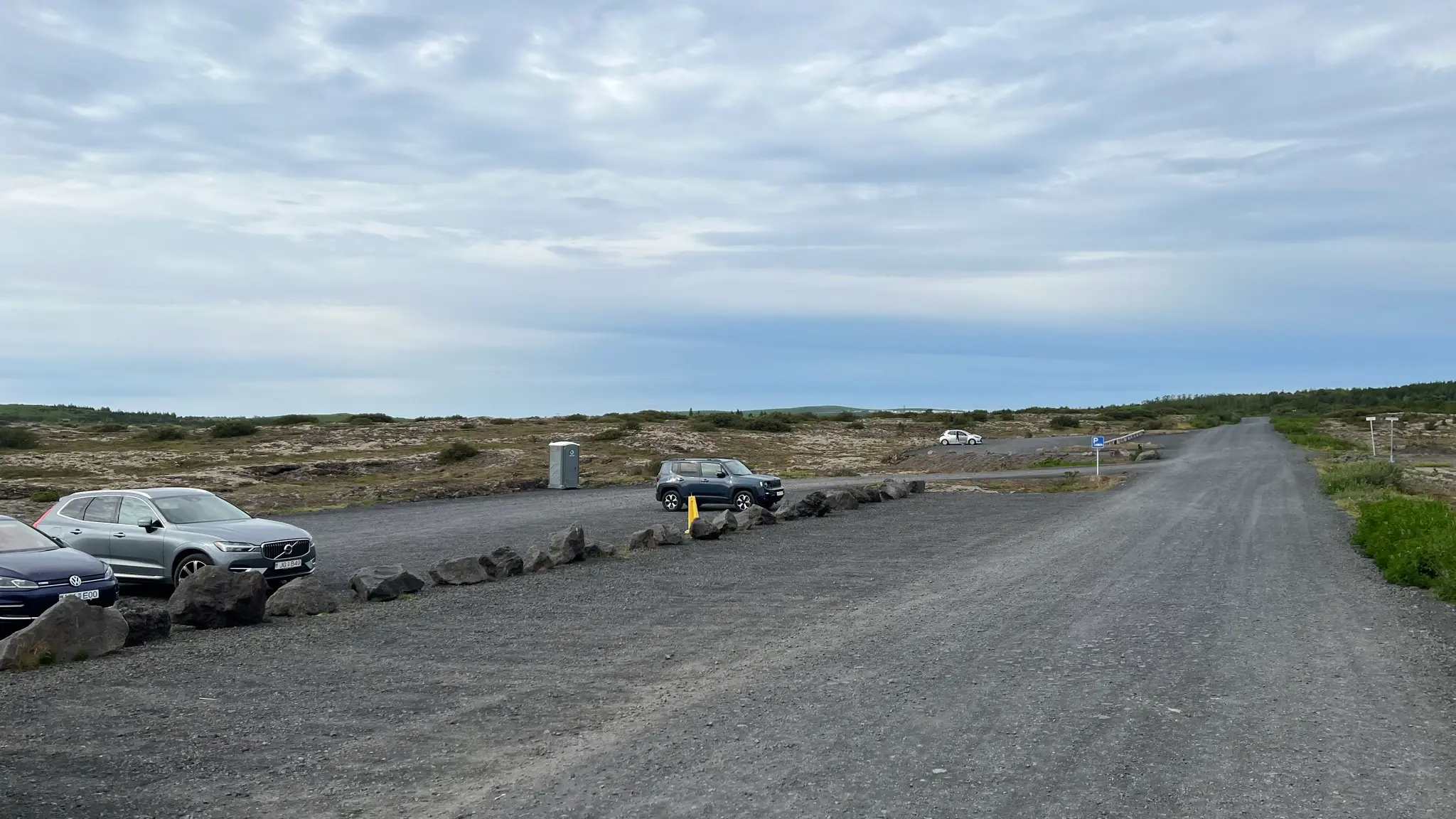
After you cross Kaldá take the gravel path heading NE. At 10.5km go past the parking lot for Helgafell, then turn right at 10.8km on a track used mostly for horse riding.
Continue on this track for the next 3.5km. Initially the area around is wooded, with some picnic spots, but it soon turns to grassland and moss-covered lava fields. At 13.4km turn left, then climb out of the Búrfellgjá lava tunnel. The parking area is a short distance away.